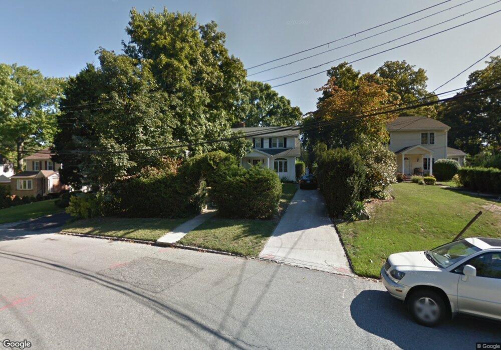
8619 Palo Alto St Hollis, NY 11423
Holliswood NeighborhoodEstimated Value: $1,053,000 - $1,256,000
--
Bed
--
Bath
1,536
Sq Ft
$778/Sq Ft
Est. Value
About This Home
This home is located at 8619 Palo Alto St, Hollis, NY 11423 and is currently estimated at $1,195,580, approximately $778 per square foot. 8619 Palo Alto St is a home located in Queens County with nearby schools including P.S. 35 Nathaniel Woodhull, I.S. 238 Susan B Anthony Academy, and The Wellspring Schools.
Ownership History
Date
Name
Owned For
Owner Type
Purchase Details
Closed on
May 11, 2022
Sold by
Inhaber Mark and Inhaber Susan
Bought by
Izrailov Arkadiy and Rubinov Betyana
Current Estimated Value
Home Financials for this Owner
Home Financials are based on the most recent Mortgage that was taken out on this home.
Original Mortgage
$862,500
Outstanding Balance
$819,503
Interest Rate
5.27%
Mortgage Type
Purchase Money Mortgage
Estimated Equity
$376,077
Create a Home Valuation Report for This Property
The Home Valuation Report is an in-depth analysis detailing your home's value as well as a comparison with similar homes in the area
Home Values in the Area
Average Home Value in this Area
Purchase History
| Date | Buyer | Sale Price | Title Company |
|---|---|---|---|
| Izrailov Arkadiy | $1,150,000 | -- |
Source: Public Records
Mortgage History
| Date | Status | Borrower | Loan Amount |
|---|---|---|---|
| Open | Izrailov Arkadiy | $862,500 |
Source: Public Records
Tax History Compared to Growth
Tax History
| Year | Tax Paid | Tax Assessment Tax Assessment Total Assessment is a certain percentage of the fair market value that is determined by local assessors to be the total taxable value of land and additions on the property. | Land | Improvement |
|---|---|---|---|---|
| 2025 | $9,555 | $50,377 | $17,848 | $32,529 |
| 2024 | $9,555 | $47,573 | $17,863 | $29,710 |
| 2023 | $9,014 | $44,881 | $17,779 | $27,102 |
| 2022 | $8,535 | $56,040 | $23,340 | $32,700 |
| 2021 | $9,004 | $46,440 | $23,340 | $23,100 |
| 2020 | $6,866 | $51,060 | $23,340 | $27,720 |
| 2019 | $6,276 | $47,100 | $23,340 | $23,760 |
| 2018 | $7,327 | $37,401 | $16,996 | $20,405 |
| 2017 | $7,207 | $36,825 | $17,512 | $19,313 |
| 2016 | $7,052 | $36,825 | $17,512 | $19,313 |
| 2015 | $3,970 | $34,984 | $23,651 | $11,333 |
| 2014 | $3,970 | $33,037 | $21,991 | $11,046 |
Source: Public Records
Map
Nearby Homes
- 190-22 Nero Ave
- 195-12 Mclaughlin Ave
- 19346 Mclaughlin Ave
- 86-55 Santiago St
- 19512 Mclaughlin Ave
- 193-03 85th Rd
- 195-22 Mclaughlin Ave
- 19615 Como Ave
- 8714 Santiago St
- 193-55 85th Rd
- 8716 Palo Alto St
- 8684 188th St
- 8702 Chevy Chase St
- 8702 188th St
- 19127 Foothill Ave
- 184-51 Hovenden Rd
- 186-34 Henley Rd
- 19922 Keno Ave
- 196-35 Dunton Ave Unit 1
- 87-24 Marengo St Unit 2B
- 86-19 Palo Alto St Unit WH
- 86-19 Palo Alto St
- 8615 Palo Alto St
- 86-25 Palo Alto St
- 8615 Palo Alto St
- 8623 Palo Alto St
- 8609 Palo Alto St
- 8629 Palo Alto St
- 8618 Palermo St
- 86-18 Palermo St
- 8624 Palermo St
- 8614 Palermo St
- 8630 Palermo St
- 86-30 Palermo St
- 8607 Palo Alto St
- 8633 Palo Alto St
- 86-02 Palermo St
- 8636 Palermo St
- 8618 Palo Alto St
- 8602 Palermo St