862 Corley Dr Eufaula, OK 74432
Estimated Value: $90,070 - $168,000
1
Bed
1
Bath
600
Sq Ft
$215/Sq Ft
Est. Value
About This Home
This home is located at 862 Corley Dr, Eufaula, OK 74432 and is currently estimated at $129,035, approximately $215 per square foot. 862 Corley Dr is a home with nearby schools including Eufaula Elementary School, Eufaula Middle School, and Eufaula High School.
Ownership History
Date
Name
Owned For
Owner Type
Purchase Details
Closed on
Mar 10, 2022
Sold by
Burns and Kathy
Bought by
Layman Frieda Marie
Current Estimated Value
Purchase Details
Closed on
Mar 10, 2006
Sold by
Tucker Rick D
Bought by
Burns Terry and Burns Kathy
Home Financials for this Owner
Home Financials are based on the most recent Mortgage that was taken out on this home.
Original Mortgage
$37,600
Interest Rate
6.09%
Mortgage Type
New Conventional
Purchase Details
Closed on
Feb 14, 1996
Sold by
Neal
Bought by
Goforth
Purchase Details
Closed on
Feb 21, 1994
Create a Home Valuation Report for This Property
The Home Valuation Report is an in-depth analysis detailing your home's value as well as a comparison with similar homes in the area
Home Values in the Area
Average Home Value in this Area
Purchase History
| Date | Buyer | Sale Price | Title Company |
|---|---|---|---|
| Layman Frieda Marie | -- | None Listed On Document | |
| Burns Terry | -- | None Available | |
| Goforth | $7,500 | -- | |
| -- | $6,000 | -- |
Source: Public Records
Mortgage History
| Date | Status | Borrower | Loan Amount |
|---|---|---|---|
| Previous Owner | Burns Terry | $37,600 |
Source: Public Records
Tax History
| Year | Tax Paid | Tax Assessment Tax Assessment Total Assessment is a certain percentage of the fair market value that is determined by local assessors to be the total taxable value of land and additions on the property. | Land | Improvement |
|---|---|---|---|---|
| 2025 | $364 | $5,166 | $177 | $4,989 |
| 2024 | $351 | $5,166 | $177 | $4,989 |
| 2023 | $351 | $4,870 | $177 | $4,693 |
| 2022 | $167 | $3,013 | $210 | $2,803 |
| 2021 | $279 | $3,329 | $526 | $2,803 |
| 2020 | $280 | $3,329 | $526 | $2,803 |
| 2019 | $276 | $3,329 | $526 | $2,803 |
| 2018 | $258 | $3,255 | $526 | $2,729 |
| 2017 | $246 | $2,953 | $526 | $2,427 |
| 2016 | $235 | $2,812 | $526 | $2,286 |
| 2015 | $221 | $2,678 | $526 | $2,152 |
| 2014 | $209 | $2,551 | $526 | $2,025 |
Source: Public Records
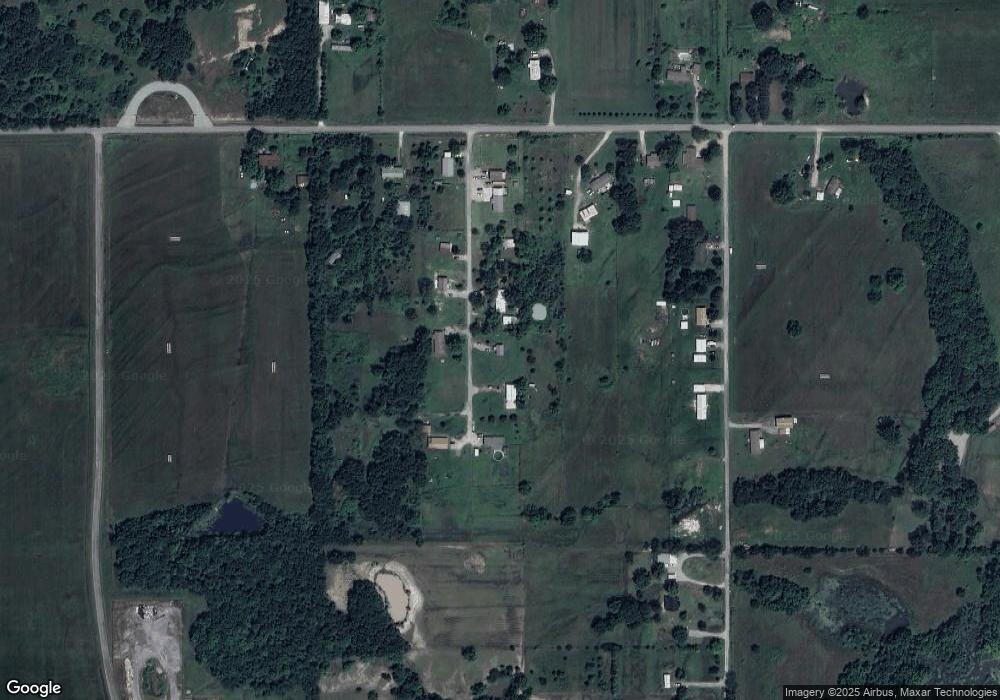
Map
Nearby Homes
- 850 Pecan Ln
- 0 Airport Rd
- TBD Airport Rd
- 29 Boardwalk Unit C
- 3 Coon Creek Rd
- 1931 Coon Creek Dr
- 1701 Mcgill Cir
- 15 Quail Dr
- 14 Quail Dr
- 17 Quail Dr
- 13 Quail Dr
- 2 Coon Creek Dr
- 9 Coon Creek Dr
- 3 Coon Creek Dr
- 7 Coon Creek Dr
- 1791 W Mcgill Cir
- 1747 Mcgill Cir
- 1879 Rockford Dr
- 1831 Rockford Dr
- 1826 W Mcgill Cir
- 807 Corley Dr
- 890 Corley
- 0 Corley Dr Unit 1846163
- 923 Corley Dr
- 922 Pecan Ln
- 1715 Bunny Creek Rd
- 840 Pecan Ln
- 0 Pecan Ln Unit 1016411
- 0 Pecan Ln Unit 1016417
- 0 Pecan Ln Unit 1015881
- 0 Pecan Ln Unit 2337480
- 0 Pecan Ln Unit 2120066
- 0 Pecan Ln Unit 2219782
- 0 Runway St Unit 1819331
- 118022 S 4150 Rd
- 118184 S 4150 Rd
- 118284 S 4150 Rd
- 850 Coon Creek Rd
- 118624 S 4150 Rd
- 1500 Lakehurst Dr
Your Personal Tour Guide
Ask me questions while you tour the home.