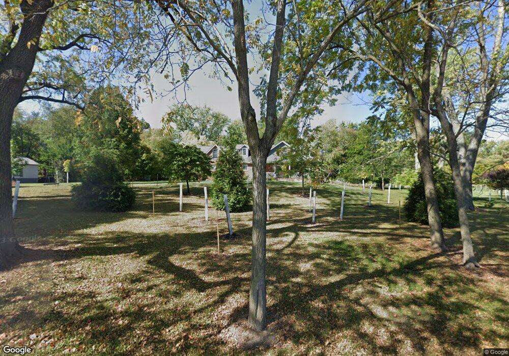
8620 N 100 W West Lafayette, IN 47906
Estimated Value: $662,000 - $802,000
6
Beds
4
Baths
4,889
Sq Ft
$150/Sq Ft
Est. Value
About This Home
This home is located at 8620 N 100 W, West Lafayette, IN 47906 and is currently estimated at $732,310, approximately $149 per square foot. 8620 N 100 W is a home located in Tippecanoe County with nearby schools including Battle Ground Elementary School, Battle Ground Middle School, and William Henry Harrison High School.
Ownership History
Date
Name
Owned For
Owner Type
Purchase Details
Closed on
Jul 15, 2013
Sold by
Nix Kevin and Nix Jessica
Bought by
Nix Trust
Current Estimated Value
Purchase Details
Closed on
Dec 2, 2011
Sold by
Chenoweth Steven and Chenoweth Michelle
Bought by
Nix Kevin and Nix Jessica
Home Financials for this Owner
Home Financials are based on the most recent Mortgage that was taken out on this home.
Original Mortgage
$260,000
Interest Rate
4.12%
Mortgage Type
New Conventional
Purchase Details
Closed on
May 30, 2009
Sold by
Dehaven Dustin and Dehaven Patricia
Bought by
Chenoweth Steven and Chenoweth Michelle
Home Financials for this Owner
Home Financials are based on the most recent Mortgage that was taken out on this home.
Original Mortgage
$275,213
Interest Rate
5.02%
Mortgage Type
FHA
Create a Home Valuation Report for This Property
The Home Valuation Report is an in-depth analysis detailing your home's value as well as a comparison with similar homes in the area
Home Values in the Area
Average Home Value in this Area
Purchase History
| Date | Buyer | Sale Price | Title Company |
|---|---|---|---|
| Nix Trust | -- | -- | |
| Nix Kevin | -- | None Available | |
| Chenoweth Steven | -- | None Available |
Source: Public Records
Mortgage History
| Date | Status | Borrower | Loan Amount |
|---|---|---|---|
| Previous Owner | Nix Kevin | $260,000 | |
| Previous Owner | Chenoweth Steven | $275,213 |
Source: Public Records
Tax History Compared to Growth
Tax History
| Year | Tax Paid | Tax Assessment Tax Assessment Total Assessment is a certain percentage of the fair market value that is determined by local assessors to be the total taxable value of land and additions on the property. | Land | Improvement |
|---|---|---|---|---|
| 2024 | $3,899 | $528,900 | $72,200 | $456,700 |
| 2023 | $3,700 | $499,300 | $72,200 | $427,100 |
| 2022 | $3,010 | $383,300 | $30,100 | $353,200 |
| 2021 | $2,870 | $365,000 | $30,100 | $334,900 |
| 2020 | $2,761 | $365,000 | $30,100 | $334,900 |
| 2019 | $2,730 | $363,500 | $30,100 | $333,400 |
| 2018 | $2,698 | $365,300 | $30,100 | $335,200 |
| 2017 | $2,706 | $362,600 | $30,100 | $332,500 |
| 2016 | $2,655 | $359,100 | $30,100 | $329,000 |
| 2014 | $2,913 | $395,900 | $30,100 | $365,800 |
| 2013 | $2,588 | $339,800 | $30,100 | $309,700 |
Source: Public Records
Map
Nearby Homes
- 1301 Lambsdowne Ln
- 8224 N Meridian Line Rd
- 689 Winslow Ln
- 6519 Ironclad Way
- 1189 Groom Ln
- 474 Sinclair Dr
- 275 Sinclair Dr
- 9099 Herring Ln
- 9060 Herring Ln
- 5781 Elswick (Lot 27 Mat) Dr
- 5751 Elswick (Lot 30) Dr
- Harrison Plan at The Preserve
- Reagan Plan at The Preserve
- Monroe Plan at The Preserve
- Eisenhower Plan at The Preserve
- Arthur Plan at The Preserve
- Van Buren Plan at The Preserve
- Jefferson Plan at The Preserve
- Lincoln Plan at The Preserve
- Taylor Plan at The Preserve
- 8686 N 100 W
- 0 N 100 W Unit 201306947
- 0 N 100 W Unit 201411069
- N 100 W
- 0 N 100 W Unit 201810475
- 0 N 100 W Unit 201609476
- 8701 N 100 W
- 8525 N 100 W
- 8533 N 100 W
- 8711 N 100 W
- 8802 N 100 W
- 8451 N 100 W
- 8448 N 100 W
- 8805 N 100 St W
- 8812 N 100 W
- 8838 N 100 W
- 8842 N 100 W
- 8435 N 100 W
- 1201 W 850 N
- 1020 W 850 N