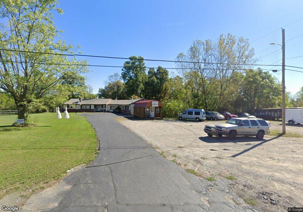
8620 Us Highway 62 Hillsboro, OH 45133
Estimated Value: $274,763 - $305,000
4
Beds
2
Baths
3,033
Sq Ft
$96/Sq Ft
Est. Value
About This Home
This home is located at 8620 Us Highway 62, Hillsboro, OH 45133 and is currently estimated at $291,691, approximately $96 per square foot. 8620 Us Highway 62 is a home located in Highland County with nearby schools including Hillsboro Primary School, Hillsboro Middle School, and Hillsboro High School.
Ownership History
Date
Name
Owned For
Owner Type
Purchase Details
Closed on
Aug 14, 2006
Sold by
Watts Tiffany
Bought by
Deans Johnny K
Current Estimated Value
Home Financials for this Owner
Home Financials are based on the most recent Mortgage that was taken out on this home.
Original Mortgage
$131,500
Outstanding Balance
$79,250
Interest Rate
6.83%
Mortgage Type
Purchase Money Mortgage
Estimated Equity
$212,441
Purchase Details
Closed on
Jun 14, 2002
Sold by
Trst Earl Smith
Bought by
Deans Tiffany Watts Johnny K
Home Financials for this Owner
Home Financials are based on the most recent Mortgage that was taken out on this home.
Original Mortgage
$137,662
Interest Rate
6.87%
Mortgage Type
FHA
Purchase Details
Closed on
Jan 1, 1990
Bought by
Smith Earl Trustee
Create a Home Valuation Report for This Property
The Home Valuation Report is an in-depth analysis detailing your home's value as well as a comparison with similar homes in the area
Home Values in the Area
Average Home Value in this Area
Purchase History
| Date | Buyer | Sale Price | Title Company |
|---|---|---|---|
| Deans Johnny K | -- | None Available | |
| Deans Tiffany Watts Johnny K | $138,750 | -- | |
| Smith Earl Trustee | -- | -- |
Source: Public Records
Mortgage History
| Date | Status | Borrower | Loan Amount |
|---|---|---|---|
| Open | Deans Johnny K | $131,500 | |
| Previous Owner | Deans Tiffany Watts Johnny K | $137,662 |
Source: Public Records
Tax History Compared to Growth
Tax History
| Year | Tax Paid | Tax Assessment Tax Assessment Total Assessment is a certain percentage of the fair market value that is determined by local assessors to be the total taxable value of land and additions on the property. | Land | Improvement |
|---|---|---|---|---|
| 2024 | $1,904 | $58,110 | $8,370 | $49,740 |
| 2023 | $1,904 | $51,880 | $7,460 | $44,420 |
| 2022 | $1,880 | $51,880 | $7,460 | $44,420 |
| 2021 | $1,792 | $51,880 | $7,460 | $44,420 |
| 2020 | $1,473 | $41,480 | $5,950 | $35,530 |
| 2019 | $1,437 | $41,480 | $5,950 | $35,530 |
| 2018 | $1,326 | $41,480 | $5,950 | $35,530 |
| 2017 | $1,226 | $35,420 | $6,650 | $28,770 |
| 2016 | $1,226 | $35,320 | $6,650 | $28,670 |
| 2015 | $1,211 | $33,530 | $6,650 | $26,880 |
| 2014 | $1,278 | $33,530 | $6,650 | $26,880 |
| 2013 | $1,280 | $33,530 | $6,650 | $26,880 |
Source: Public Records
Map
Nearby Homes
- 0 N High St Unit 1851818
- 8049 Selph Rd
- A Northfield Dr
- Lot Northfield Dr
- 106 Tanglewood Dr
- 1145 Northview Dr
- 1324 Northwoods Dr
- 8230 N St Rt 73
- 0 Fenner Ave Unit 1851683
- 948 N High St
- 7619 Pea Ridge Rd Unit A
- 7619 Pea Ridge Rd
- 7615 Pea Ridge Rd Unit B
- 7615 Pea Ridge Rd Unit A
- 7615 Pea Ridge Rd
- 9677 Graybill Rd
- 115 Terrace Ave
- 1/2 Springlake Ave
- 144 Springlake Ave
- Lot 32 Ohio 73
- 8590 Us Rt 62
- 8590 U S 62
- 8590 Us Highway 62
- 8570 Us Highway 62
- 8550 Us Highway 62
- 8534 Us Highway 62
- 8550 Us Route 62
- 8710 Us Highway 62
- 7711 Selph Rd
- 7748 Selph Rd
- 7799 Selph Rd
- 7799 Selph Rd
- 0 Selph Rd Unit 1523229
- 1.14ac Selph Rd
- 0 Selph Rd Unit 1095236
- 8470 Us Highway 62
- 8735 N Us Rt 62
- 8446 Us Highway 62
- 8446 Us Highway 62 Unit 62
- 8446 Us 62