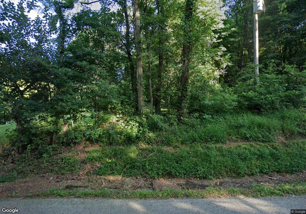
8624 Benson Rd NW Carroll, OH 43112
Bloom NeighborhoodEstimated Value: $406,000 - $568,000
3
Beds
2
Baths
2,175
Sq Ft
$217/Sq Ft
Est. Value
About This Home
This home is located at 8624 Benson Rd NW, Carroll, OH 43112 and is currently estimated at $471,306, approximately $216 per square foot. 8624 Benson Rd NW is a home located in Fairfield County with nearby schools including Bloom Carroll Primary School, Bloom Carroll Intermediate School, and Bloom-Carroll Middle School.
Ownership History
Date
Name
Owned For
Owner Type
Purchase Details
Closed on
Nov 7, 1996
Sold by
Brokaw Tod A
Bought by
Curnette Gary M and Wiegmann Terry A
Current Estimated Value
Home Financials for this Owner
Home Financials are based on the most recent Mortgage that was taken out on this home.
Original Mortgage
$111,000
Outstanding Balance
$11,104
Interest Rate
8.26%
Mortgage Type
New Conventional
Estimated Equity
$460,202
Purchase Details
Closed on
Oct 15, 1991
Sold by
Boyer William D
Bought by
Brokaw Tod A
Create a Home Valuation Report for This Property
The Home Valuation Report is an in-depth analysis detailing your home's value as well as a comparison with similar homes in the area
Home Values in the Area
Average Home Value in this Area
Purchase History
| Date | Buyer | Sale Price | Title Company |
|---|---|---|---|
| Curnette Gary M | $138,750 | -- | |
| Brokaw Tod A | $108,900 | -- |
Source: Public Records
Mortgage History
| Date | Status | Borrower | Loan Amount |
|---|---|---|---|
| Open | Curnette Gary M | $111,000 |
Source: Public Records
Tax History Compared to Growth
Tax History
| Year | Tax Paid | Tax Assessment Tax Assessment Total Assessment is a certain percentage of the fair market value that is determined by local assessors to be the total taxable value of land and additions on the property. | Land | Improvement |
|---|---|---|---|---|
| 2024 | $9,993 | $121,280 | $25,640 | $95,640 |
| 2023 | $5,137 | $121,280 | $25,640 | $95,640 |
| 2022 | $5,177 | $121,280 | $25,640 | $95,640 |
| 2021 | $4,089 | $86,580 | $20,510 | $66,070 |
| 2020 | $4,133 | $86,580 | $20,510 | $66,070 |
| 2019 | $4,146 | $86,580 | $20,510 | $66,070 |
| 2018 | $3,586 | $76,590 | $17,230 | $59,360 |
| 2017 | $3,379 | $75,770 | $16,410 | $59,360 |
| 2016 | $3,328 | $75,770 | $16,410 | $59,360 |
| 2015 | $3,185 | $70,490 | $16,410 | $54,080 |
| 2014 | $3,056 | $70,490 | $16,410 | $54,080 |
| 2013 | $3,056 | $70,490 | $16,410 | $54,080 |
Source: Public Records
Map
Nearby Homes
- 3830 Mason Rd NW
- 3400 Mason Rd NW
- 9655 Salem Church Rd NW
- 9263 Lithopolis Rd NW
- 4260 Sitterley Rd NW
- 5161 Mason Rd
- 8981 Winchester Rd
- 4900 Pickerington Rd NW
- 4180 Stone Hill Drive East NW
- 10385 Lithopolis Rd NW
- 6556 Castlewood Dr NW
- 7450 Broad St NW
- 4400 Kauffman Rd NW
- 6415 Winchester Rd NW
- 5533 Waterloo Rd NW
- 245 E South St
- 73 E North St
- 1980 Sitterley Rd NW
- 1915 Sitterley Rd NW
- 2780 Cedar Hill Rd NW
- 8624 Benson Rd
- 4120 Amanda Northern Rd
- 8650 Benson Rd
- 4100 Amanda Northern Rd
- 4120 Amanda Northern Rd NW
- 4040 Amanda Northern Rd
- 8615 Benson Rd
- 8641 Benson Rd
- 4168 Amanda Northern Rd
- 4122 Amanda Northern Rd
- 8556 Benson Rd
- 8565 Benson Rd
- 4190 Amanda Northern Rd
- 8549 Benson Rd
- 4210 Amanda Northern Rd
- 8520 Benson Rd
- 4315 Evergreen Rd NW
- 4315 Evergreen Rd
- 4240 Amanda Northern Rd
- 4300 Evergreen Rd NW
