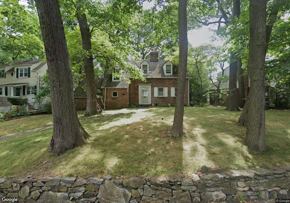
8625 Pinto St Hollis, NY 11423
Holliswood NeighborhoodEstimated Value: $1,037,755 - $1,567,000
--
Bed
--
Bath
1,263
Sq Ft
$1,065/Sq Ft
Est. Value
About This Home
This home is located at 8625 Pinto St, Hollis, NY 11423 and is currently estimated at $1,345,439, approximately $1,065 per square foot. 8625 Pinto St is a home located in Queens County with nearby schools including P.S. I.S. 178 The Holliswood School, George J. Ryan Middle School 216, and The Wellspring Schools.
Ownership History
Date
Name
Owned For
Owner Type
Purchase Details
Closed on
Apr 17, 2000
Sold by
Armao John and Armao Nancy
Bought by
Rosenbloom Nancy
Current Estimated Value
Home Financials for this Owner
Home Financials are based on the most recent Mortgage that was taken out on this home.
Original Mortgage
$304,000
Outstanding Balance
$108,936
Interest Rate
8.87%
Estimated Equity
$1,236,503
Create a Home Valuation Report for This Property
The Home Valuation Report is an in-depth analysis detailing your home's value as well as a comparison with similar homes in the area
Home Values in the Area
Average Home Value in this Area
Purchase History
| Date | Buyer | Sale Price | Title Company |
|---|---|---|---|
| Rosenbloom Nancy | $380,000 | Stewart Title Insurance Co |
Source: Public Records
Mortgage History
| Date | Status | Borrower | Loan Amount |
|---|---|---|---|
| Open | Rosenbloom Nancy | $304,000 |
Source: Public Records
Tax History Compared to Growth
Tax History
| Year | Tax Paid | Tax Assessment Tax Assessment Total Assessment is a certain percentage of the fair market value that is determined by local assessors to be the total taxable value of land and additions on the property. | Land | Improvement |
|---|---|---|---|---|
| 2025 | $11,042 | $58,164 | $17,024 | $41,140 |
| 2024 | $11,054 | $56,376 | $19,127 | $37,249 |
| 2023 | $10,633 | $54,342 | $16,168 | $38,174 |
| 2022 | $10,391 | $54,420 | $19,440 | $34,980 |
| 2021 | $10,323 | $50,460 | $19,440 | $31,020 |
| 2020 | $9,964 | $54,240 | $19,440 | $34,800 |
| 2019 | $9,535 | $46,980 | $19,440 | $27,540 |
| 2018 | $8,934 | $45,285 | $16,504 | $28,781 |
| 2017 | $8,864 | $44,954 | $18,578 | $26,376 |
| 2016 | $8,249 | $44,954 | $18,578 | $26,376 |
| 2015 | $4,895 | $40,392 | $18,884 | $21,508 |
| 2014 | $4,895 | $39,674 | $19,069 | $20,605 |
Source: Public Records
Map
Nearby Homes
- 86-79 Pinto St
- 8601 Marengo St
- 19615 Como Ave
- 19703 Mclaughlin Ave
- 19922 Keno Ave
- 195-22 Mclaughlin Ave
- 198-16 Mclaughlin Ave
- 19512 Mclaughlin Ave
- 198-31 Pompeii Ave
- 19346 Mclaughlin Ave
- 198-02 Pompeii Ave Unit 1 B
- 8649 Dunton St
- 198-44 Pompeii Ave Unit 1A
- 87-16 Marengo St Unit 2B
- 87-24 Marengo St Unit 2B
- 87-44 Marengo St Unit 2A
- 86-70 Francis Lewis Blvd Unit A-44
- 86-70 Francis Lewis Blvd Unit A55
- 86-70 Francis Lewis Blvd Unit A-13
- 195-12 Mclaughlin Ave