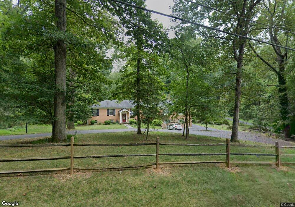
8627 Brook Rd McLean, VA 22102
Greenway Heights NeighborhoodEstimated Value: $1,752,056 - $2,232,000
5
Beds
5
Baths
2,420
Sq Ft
$796/Sq Ft
Est. Value
About This Home
This home is located at 8627 Brook Rd, McLean, VA 22102 and is currently estimated at $1,925,264, approximately $795 per square foot. 8627 Brook Rd is a home located in Fairfax County with nearby schools including Spring Hill Elementary School, Cooper Middle School, and Langley High School.
Ownership History
Date
Name
Owned For
Owner Type
Purchase Details
Closed on
Nov 5, 2002
Sold by
Harding Allan
Bought by
Hoffman John
Current Estimated Value
Home Financials for this Owner
Home Financials are based on the most recent Mortgage that was taken out on this home.
Original Mortgage
$590,000
Outstanding Balance
$247,488
Interest Rate
6.04%
Mortgage Type
Purchase Money Mortgage
Estimated Equity
$1,677,776
Create a Home Valuation Report for This Property
The Home Valuation Report is an in-depth analysis detailing your home's value as well as a comparison with similar homes in the area
Home Values in the Area
Average Home Value in this Area
Purchase History
| Date | Buyer | Sale Price | Title Company |
|---|---|---|---|
| Hoffman John | $740,000 | -- |
Source: Public Records
Mortgage History
| Date | Status | Borrower | Loan Amount |
|---|---|---|---|
| Open | Hoffman John | $590,000 |
Source: Public Records
Tax History
| Year | Tax Paid | Tax Assessment Tax Assessment Total Assessment is a certain percentage of the fair market value that is determined by local assessors to be the total taxable value of land and additions on the property. | Land | Improvement |
|---|---|---|---|---|
| 2025 | $17,572 | $1,487,300 | $960,000 | $527,300 |
| 2023 | $15,732 | $1,366,240 | $941,000 | $425,240 |
| 2022 | $14,840 | $1,272,170 | $871,000 | $401,170 |
| 2021 | $13,343 | $1,115,190 | $757,000 | $358,190 |
| 2020 | $12,939 | $1,072,410 | $728,000 | $344,410 |
| 2019 | $12,939 | $1,072,410 | $728,000 | $344,410 |
| 2018 | $12,326 | $1,071,860 | $728,000 | $343,860 |
| 2017 | $12,522 | $1,057,600 | $728,000 | $329,600 |
| 2016 | $12,743 | $1,078,510 | $728,000 | $350,510 |
Source: Public Records
Map
Nearby Homes
- 8634 Overlook Rd
- 8735 Brook Rd
- 1239 Daleview Dr
- 8757 Brook Rd
- 8620 Polk St
- 8437 Sparger St
- 8355 Alvord St
- 8416 Weller Ave
- 8340 Springhaven Garden Ln
- 8537 Old Dominion Dr
- 8912 Gallant Green Dr
- 1002 Kimberwicke Rd
- 949 Bellview Rd
- 8652 Belle Tree
- Lot 2 Knolewood
- 1033 Union Church Rd
- Lot 15 Knolewood
- 1339 Hawkin Rd
- 1205 Towlston Rd
- 1204 Hunters Grove Ct
- 8619 Brook Rd
- 8633 Brook Rd
- 8611 Brook Rd
- 8639 Brook Rd
- 8614 Brook Rd
- 8618 Brook Rd
- 1124 Laurelwood Dr
- 8609 Brook Rd
- 8703 Brook Rd
- 1122 Laurelwood Dr
- 8717 Brook Rd
- 1125 Laurelwood Dr
- 8605 Brook Rd
- 8630 Overlook Rd
- 8700 Brook Rd
- 8725 Brook Rd
- 1120 Laurelwood Dr
- 8638 Overlook Rd
- 1123 Laurelwood Dr
- 8601 Brook Rd
Your Personal Tour Guide
Ask me questions while you tour the home.