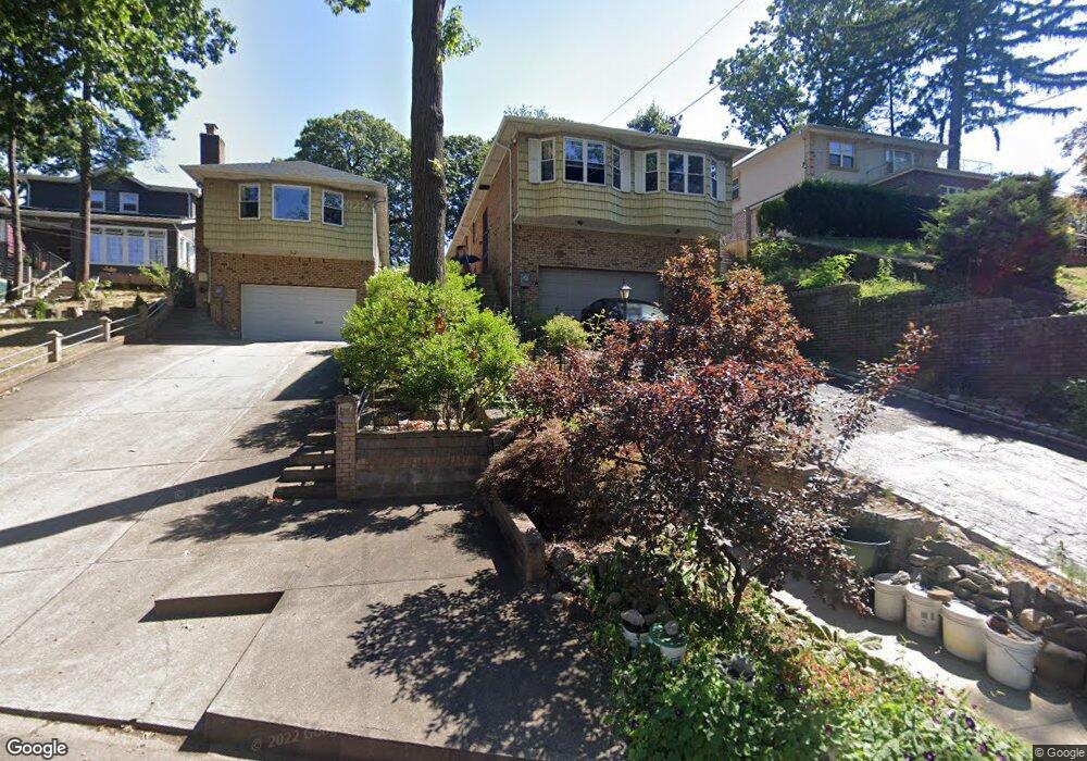
8627 Santiago St Hollis, NY 11423
Holliswood NeighborhoodEstimated Value: $1,354,000 - $1,571,000
--
Bed
--
Bath
2,727
Sq Ft
$526/Sq Ft
Est. Value
About This Home
This home is located at 8627 Santiago St, Hollis, NY 11423 and is currently estimated at $1,435,071, approximately $526 per square foot. 8627 Santiago St is a home located in Queens County with nearby schools including P.S. 35 Nathaniel Woodhull, I.S. 238 Susan B Anthony Academy, and The Wellspring Schools.
Ownership History
Date
Name
Owned For
Owner Type
Purchase Details
Closed on
Nov 29, 1999
Sold by
Leva Umberto and Leva Pauline
Bought by
Su Vincent Wen Chien and Su Vivian W P
Current Estimated Value
Home Financials for this Owner
Home Financials are based on the most recent Mortgage that was taken out on this home.
Original Mortgage
$350,000
Outstanding Balance
$107,500
Interest Rate
7.61%
Estimated Equity
$1,327,571
Create a Home Valuation Report for This Property
The Home Valuation Report is an in-depth analysis detailing your home's value as well as a comparison with similar homes in the area
Home Values in the Area
Average Home Value in this Area
Purchase History
| Date | Buyer | Sale Price | Title Company |
|---|---|---|---|
| Su Vincent Wen Chien | -- | Chicago Title Insurance Co |
Source: Public Records
Mortgage History
| Date | Status | Borrower | Loan Amount |
|---|---|---|---|
| Open | Su Vincent Wen Chien | $350,000 |
Source: Public Records
Tax History Compared to Growth
Tax History
| Year | Tax Paid | Tax Assessment Tax Assessment Total Assessment is a certain percentage of the fair market value that is determined by local assessors to be the total taxable value of land and additions on the property. | Land | Improvement |
|---|---|---|---|---|
| 2025 | $13,307 | $67,651 | $19,875 | $47,776 |
| 2024 | $13,588 | $67,651 | $21,208 | $46,443 |
| 2023 | $13,012 | $66,187 | $19,187 | $47,000 |
| 2022 | $12,358 | $77,580 | $24,960 | $52,620 |
| 2021 | $12,280 | $76,800 | $24,960 | $51,840 |
| 2020 | $11,637 | $66,960 | $24,960 | $42,000 |
| 2019 | $11,500 | $66,240 | $24,960 | $41,280 |
| 2018 | $10,946 | $55,156 | $20,634 | $34,522 |
| 2017 | $10,461 | $52,785 | $22,091 | $30,694 |
| 2016 | $9,645 | $52,785 | $22,091 | $30,694 |
| 2015 | $5,839 | $46,980 | $27,720 | $19,260 |
| 2014 | $5,839 | $46,980 | $27,720 | $19,260 |
Source: Public Records
Map
Nearby Homes
- 190-22 Nero Ave
- 86-55 Santiago St
- 8714 Santiago St
- 8684 188th St
- 8716 Palo Alto St
- 8702 188th St
- 8702 Chevy Chase St
- 195-12 Mclaughlin Ave
- 19346 Mclaughlin Ave
- 186-34 Henley Rd
- 19127 Foothill Ave
- 19512 Mclaughlin Ave
- 193-03 85th Rd
- 19615 Como Ave
- 195-22 Mclaughlin Ave
- 184-51 Hovenden Rd
- 193-55 85th Rd
- 187-14 Wexford Terrace
- 18414 Grand Central Pkwy
- 196-35 Dunton Ave Unit 1
- 8623 Santiago St
- 8641 Santiago St
- 86-23 Santiago St
- 8609 Santiago St
- 8645 Santiago St
- 86-45 Santiago St
- 8605 Santiago St
- 86-05 Santiago St
- 8646 Palo Alto St
- 18815 Soho Dr
- 86-09 Santiago St
- 8652 Palo Alto St
- 8647 Santiago St
- 8601 Santiago St
- 8636 Palo Alto St
- 86-32 Palo Alto St
- 8620 Santiago St
- 86-01 Santiago St
- 8656 Palo Alto St
- 8632 Palo Alto St