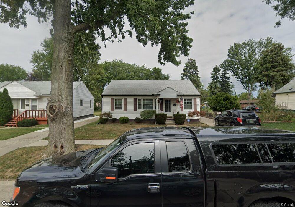
8629 Central Center Line, MI 48015
Estimated Value: $141,726 - $157,000
3
Beds
1
Bath
936
Sq Ft
$158/Sq Ft
Est. Value
About This Home
This home is located at 8629 Central, Center Line, MI 48015 and is currently estimated at $147,682, approximately $157 per square foot. 8629 Central is a home located in Macomb County with nearby schools including May V. Peck Elementary School, Wolfe Middle School, and Center Line High School.
Ownership History
Date
Name
Owned For
Owner Type
Purchase Details
Closed on
Jun 11, 2012
Sold by
Welch Sherri and Begin Sherri N
Bought by
Welch Sherri
Current Estimated Value
Home Financials for this Owner
Home Financials are based on the most recent Mortgage that was taken out on this home.
Original Mortgage
$103,400
Outstanding Balance
$71,660
Interest Rate
3.83%
Mortgage Type
New Conventional
Estimated Equity
$76,022
Purchase Details
Closed on
May 24, 2002
Sold by
Neumann Larry E
Bought by
Begin Sherri N
Create a Home Valuation Report for This Property
The Home Valuation Report is an in-depth analysis detailing your home's value as well as a comparison with similar homes in the area
Home Values in the Area
Average Home Value in this Area
Purchase History
| Date | Buyer | Sale Price | Title Company |
|---|---|---|---|
| Welch Sherri | -- | Sun Title Agency Of Mi Llc | |
| Begin Sherri N | $111,280 | -- |
Source: Public Records
Mortgage History
| Date | Status | Borrower | Loan Amount |
|---|---|---|---|
| Open | Welch Sherri | $103,400 |
Source: Public Records
Tax History
| Year | Tax Paid | Tax Assessment Tax Assessment Total Assessment is a certain percentage of the fair market value that is determined by local assessors to be the total taxable value of land and additions on the property. | Land | Improvement |
|---|---|---|---|---|
| 2025 | $1,292 | $63,100 | $0 | $0 |
| 2024 | $13 | $58,700 | $0 | $0 |
| 2023 | $1,232 | $53,100 | $0 | $0 |
| 2022 | $1,526 | $46,800 | $0 | $0 |
| 2021 | $1,589 | $43,400 | $0 | $0 |
| 2020 | $1,296 | $40,000 | $0 | $0 |
| 2019 | $1,516 | $34,500 | $0 | $0 |
| 2018 | $0 | $27,440 | $0 | $0 |
| 2017 | $1,519 | $24,740 | $6,510 | $18,230 |
| 2016 | $1,516 | $24,740 | $0 | $0 |
| 2015 | -- | $22,190 | $0 | $0 |
| 2011 | -- | $25,400 | $5,100 | $20,300 |
Source: Public Records
Map
Nearby Homes
- 8442 Central
- 11085 Busch Ave
- 11214 Mae Ave
- 25113 Campbell Ave
- 25034 Comfort
- 8385 Helen
- 24932 Marigold Ave
- 8175 Central
- VL Helen St
- 8174 Helen
- 11377 Mae Ave
- 8330 Sunburst
- 26431 Tom Allen Dr
- 24899 Campbell Ave
- 26032 Falmouth Dr
- 24800 Campbell Ave
- 11370 E 10 Mile Rd
- 8373 Mckinley
- 11615 Highland Dr
- 11647 Hovey St
Your Personal Tour Guide
Ask me questions while you tour the home.