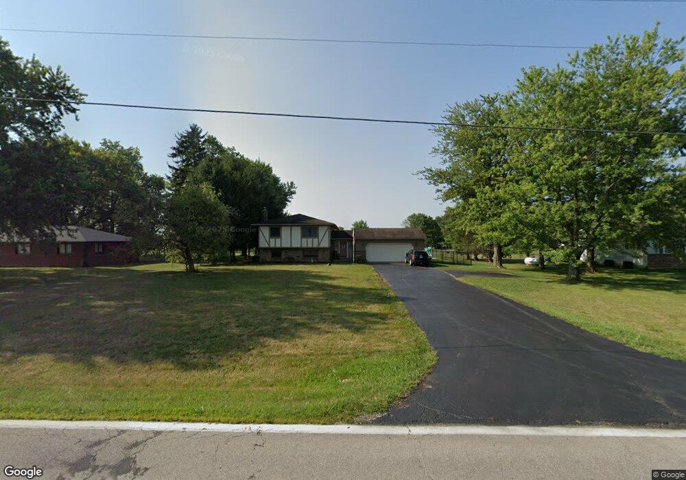
8629 State Route 762 Orient, OH 43146
Estimated Value: $412,893 - $519,000
3
Beds
2
Baths
2,368
Sq Ft
$193/Sq Ft
Est. Value
About This Home
This home is located at 8629 State Route 762, Orient, OH 43146 and is currently estimated at $457,223, approximately $193 per square foot. 8629 State Route 762 is a home located in Pickaway County.
Ownership History
Date
Name
Owned For
Owner Type
Purchase Details
Closed on
Dec 9, 2008
Sold by
Pack Roger L and Pack Geraldine A
Bought by
Bowerman Russell G and Bowerman Jacqueline S
Current Estimated Value
Home Financials for this Owner
Home Financials are based on the most recent Mortgage that was taken out on this home.
Original Mortgage
$156,000
Outstanding Balance
$104,873
Interest Rate
6.49%
Mortgage Type
Purchase Money Mortgage
Estimated Equity
$352,350
Purchase Details
Closed on
May 1, 1988
Create a Home Valuation Report for This Property
The Home Valuation Report is an in-depth analysis detailing your home's value as well as a comparison with similar homes in the area
Purchase History
| Date | Buyer | Sale Price | Title Company |
|---|---|---|---|
| Bowerman Russell G | -- | Valmer Land Title | |
| -- | $77,900 | -- |
Source: Public Records
Mortgage History
| Date | Status | Borrower | Loan Amount |
|---|---|---|---|
| Open | Bowerman Russell G | $156,000 |
Source: Public Records
Tax History Compared to Growth
Tax History
| Year | Tax Paid | Tax Assessment Tax Assessment Total Assessment is a certain percentage of the fair market value that is determined by local assessors to be the total taxable value of land and additions on the property. | Land | Improvement |
|---|---|---|---|---|
| 2024 | -- | $108,780 | $22,290 | $86,490 |
| 2023 | $4,105 | $108,780 | $22,290 | $86,490 |
| 2022 | $3,173 | $77,170 | $14,860 | $62,310 |
| 2021 | $3,182 | $77,170 | $14,860 | $62,310 |
| 2020 | $3,180 | $77,170 | $14,860 | $62,310 |
| 2019 | $1,337 | $63,200 | $14,140 | $49,060 |
| 2018 | $2,464 | $63,200 | $14,140 | $49,060 |
| 2017 | $2,538 | $63,200 | $14,140 | $49,060 |
| 2016 | $2,495 | $62,000 | $12,330 | $49,670 |
| 2015 | $1,248 | $62,000 | $12,330 | $49,670 |
| 2014 | $2,499 | $62,000 | $12,330 | $49,670 |
| 2013 | $2,597 | $62,000 | $12,330 | $49,670 |
Source: Public Records
Map
Nearby Homes
- 0 Burgett Rd
- 0 Matville Rd Unit 225040471
- 0 Matville Rd Unit 225040474
- 0 Matville Rd Unit 225040477
- 0 Matville Rd Unit 225030661
- 9148 Matville Rd
- 47 Front St
- 56 Chambers Bay Rd
- 507 Walker Pointe Dr
- 0 Lane Rd Unit 225004404
- 66 Genoa Cir
- 55 Genoa Cir
- 313 Genoa Rd
- 471 Creekside Dr
- 500 Walker Pointe Dr
- 487 Creekside Dr
- 505 Conley Dr
- 502 Conley Dr
- 308 Adrien Ct
- 518 Conley Dr
- 8617 State Route 762
- 8641 State Route 762
- 8581 State Route 762
- 8661 State Route 762
- 8681 State Route 762
- 8561 State Route 762
- 10879 Matville Rd
- 10901 Matville Rd
- 10937 Matville Rd
- 8723 State Route 762
- 11017 Matville Rd
- 11045 Matville Rd
- 10560 Matville Rd
- 8901 State Route 762
- 11201 Matville Rd
- 8952 State Route 762
- 11320 Matville Rd
- 8108 State Route 762
- 9124 State Route 762
- 11359 Matville Rd