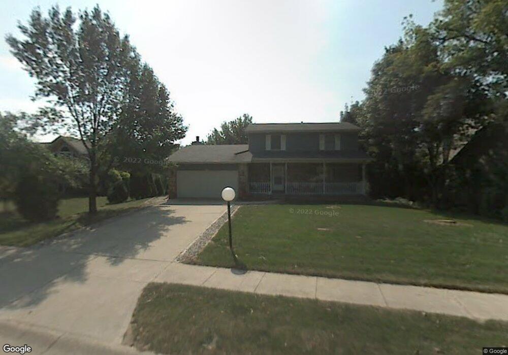
863 Burr Oak Dr Chesterton, IN 46304
Estimated Value: $316,371 - $359,000
3
Beds
2
Baths
1,800
Sq Ft
$186/Sq Ft
Est. Value
About This Home
This home is located at 863 Burr Oak Dr, Chesterton, IN 46304 and is currently estimated at $334,343, approximately $185 per square foot. 863 Burr Oak Dr is a home located in Porter County with nearby schools including Westchester Intermediate School, Brummitt Elementary School, and Chesterton Middle School.
Ownership History
Date
Name
Owned For
Owner Type
Purchase Details
Closed on
May 8, 2006
Sold by
Pierce Rodney A and Pierce Andrea M W
Bought by
Martin Steven and Martin Cheryl
Current Estimated Value
Home Financials for this Owner
Home Financials are based on the most recent Mortgage that was taken out on this home.
Original Mortgage
$169,500
Outstanding Balance
$118,645
Interest Rate
10.4%
Mortgage Type
Fannie Mae Freddie Mac
Estimated Equity
$215,698
Create a Home Valuation Report for This Property
The Home Valuation Report is an in-depth analysis detailing your home's value as well as a comparison with similar homes in the area
Home Values in the Area
Average Home Value in this Area
Purchase History
| Date | Buyer | Sale Price | Title Company |
|---|---|---|---|
| Martin Steven | -- | The Talon Group |
Source: Public Records
Mortgage History
| Date | Status | Borrower | Loan Amount |
|---|---|---|---|
| Open | Martin Steven | $169,500 |
Source: Public Records
Tax History Compared to Growth
Tax History
| Year | Tax Paid | Tax Assessment Tax Assessment Total Assessment is a certain percentage of the fair market value that is determined by local assessors to be the total taxable value of land and additions on the property. | Land | Improvement |
|---|---|---|---|---|
| 2024 | $3,173 | $302,100 | $38,000 | $264,100 |
| 2023 | $3,153 | $284,300 | $35,000 | $249,300 |
| 2022 | $2,928 | $262,400 | $35,000 | $227,400 |
| 2021 | $2,588 | $230,900 | $35,000 | $195,900 |
| 2020 | $2,536 | $226,300 | $30,400 | $195,900 |
| 2019 | $2,224 | $199,000 | $30,400 | $168,600 |
| 2018 | $2,137 | $191,400 | $30,400 | $161,000 |
| 2017 | $2,057 | $186,900 | $30,400 | $156,500 |
| 2016 | $1,885 | $180,800 | $32,700 | $148,100 |
| 2014 | $1,883 | $170,600 | $31,000 | $139,600 |
| 2013 | -- | $160,500 | $31,200 | $129,300 |
Source: Public Records
Map
Nearby Homes
- 120 Pine Dr Unit H
- 860 Quail Ridge Dr
- 103 Summertree Dr
- 188 Summertree Dr
- 1239 Fox Hollow Dr
- 319 Michigami Trail
- 0 Haglund Rd Unit NRA821369
- 308 Rankin St
- 315 Franklin St
- 647 N Calumet Rd
- 2535 State St
- 116 Rankin St
- 108 Indian Boundary Rd
- 140 N Jackson Blvd
- 150 16th St
- 131 N 18th St
- 506 W Morgan Ave
- 1251 N Mineral Springs Rd
- 42 Karner Blue Ct
- 45 Karner Ct
- 873 Burr Oak Dr
- 855 Burr Oak Dr
- 851 Burr Oak Dr
- 856 Burr Oak Dr
- 1123 Penny Ln
- 852 Burr Oak Dr
- 843 Burr Oak Dr
- 1122 Penny Ln Unit 1124
- 1119 Pam Dr Unit 1121
- 1250 Baton Ridge Dr
- 1121 Penny Ln
- 1252 Baton Ridge Dr
- 1254 Baton Ridge Dr
- 1119-1121 Penny Ln
- 1119 Penny Ln Unit 1121
- 1120 Penny Ln
- 1252 Burr Oak Dr
- 833 Burr Oak Dr
- 1118 Penny Ln
- 1118-1120 Penny Ln