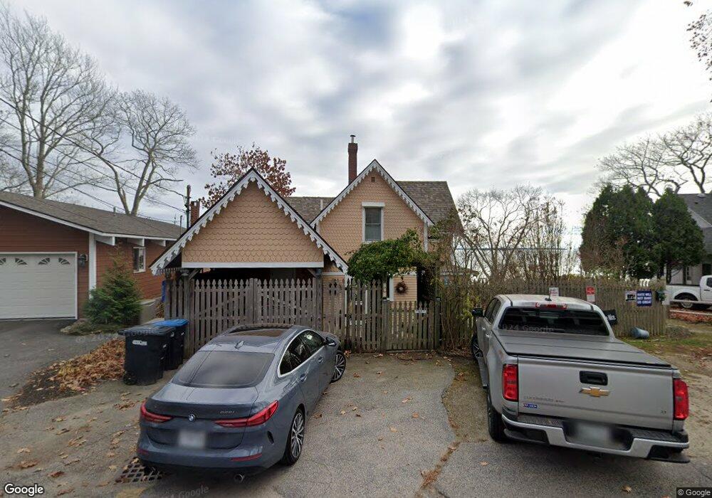
863 Princes Point Rd Yarmouth, ME 04096
Estimated Value: $718,000 - $882,000
2
Beds
2
Baths
1,338
Sq Ft
$590/Sq Ft
Est. Value
About This Home
This home is located at 863 Princes Point Rd, Yarmouth, ME 04096 and is currently estimated at $788,958, approximately $589 per square foot. 863 Princes Point Rd is a home located in Cumberland County with nearby schools including William H. Rowe School, Yarmouth Elementary School, and Frank H. Harrison Middle School.
Ownership History
Date
Name
Owned For
Owner Type
Purchase Details
Closed on
Jan 27, 2006
Sold by
Epstein Richard A
Bought by
Epstein Richard A and Dorr Eleanor
Current Estimated Value
Create a Home Valuation Report for This Property
The Home Valuation Report is an in-depth analysis detailing your home's value as well as a comparison with similar homes in the area
Home Values in the Area
Average Home Value in this Area
Purchase History
| Date | Buyer | Sale Price | Title Company |
|---|---|---|---|
| Epstein Richard A | -- | -- |
Source: Public Records
Tax History Compared to Growth
Tax History
| Year | Tax Paid | Tax Assessment Tax Assessment Total Assessment is a certain percentage of the fair market value that is determined by local assessors to be the total taxable value of land and additions on the property. | Land | Improvement |
|---|---|---|---|---|
| 2024 | $9,739 | $379,400 | $267,000 | $112,400 |
| 2023 | $8,931 | $379,400 | $267,000 | $112,400 |
| 2022 | $8,203 | $379,400 | $267,000 | $112,400 |
| 2021 | $7,512 | $379,400 | $267,000 | $112,400 |
| 2020 | $7,436 | $379,400 | $267,000 | $112,400 |
| 2019 | $7,155 | $379,400 | $267,000 | $112,400 |
| 2018 | $6,753 | $379,400 | $267,000 | $112,400 |
| 2017 | $6,511 | $379,400 | $267,000 | $112,400 |
| 2016 | $6,473 | $379,400 | $267,000 | $112,400 |
| 2015 | $10,196 | $472,900 | $375,300 | $97,600 |
| 2014 | $10,215 | $472,900 | $375,300 | $97,600 |
| 2013 | $10,404 | $472,900 | $0 | $0 |
Source: Public Records
Map
Nearby Homes
- 51 Meeting House Farms Rd
- 258 Foreside Rd
- 186 Foreside Rd
- 24 York Ledge Dr
- 51 Oakland Ave
- 15 Sea Cove Rd
- 184 Spruce Point Rd
- 87 Wharf Rd
- 6 Daybreak Ln Unit 18
- 24 Daybreak Ln
- 86 Pleasant St
- 275 Littlejohn Rd
- 51 Pleasant St
- 59 Underwood Rd
- 30 Seaside Way Unit Lot 3
- 52 Blueberry Cove Rd Unit 52
- 62 Blueberry Cove Rd Unit 62
- 20 Blueberry Cove Rd Unit 20
- 70 Main St
- 263 Foreside Rd
- 867 Princes Point Rd
- 857 Princes Point Rd
- 873 Princes Point Rd
- 866 Princes Point Rd
- 23 Battery Point Ln
- 842 Princes Point Rd
- 875 Princes Point
- 875 Princes Point Rd
- 14 Battery Point Ln
- 10 Battery Point Ln
- 888 Princes Point Rd
- 836 Princes Point Rd
- 879 Princes Point Rd
- 839 Princes Point Rd
- 885 Princes Point Rd
- 831 Princes Point Rd
- 889 Princes Point Rd
- 39 Nubbin Reach
- 22 Nubbin Reach
- 825 Princes Point Rd