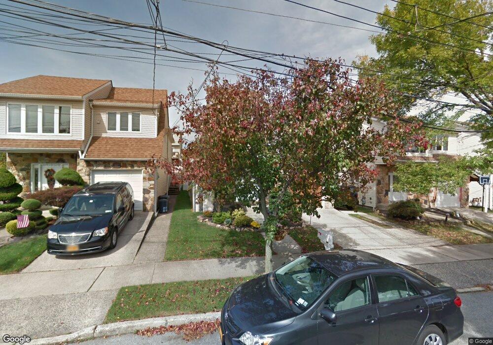
863 Sinclair Ave Staten Island, NY 10309
Woodrow NeighborhoodEstimated Value: $831,061 - $1,067,000
Studio
--
Bath
2,736
Sq Ft
$357/Sq Ft
Est. Value
About This Home
This home is located at 863 Sinclair Ave, Staten Island, NY 10309 and is currently estimated at $977,265, approximately $357 per square foot. 863 Sinclair Ave is a home located in Richmond County with nearby schools including P.S. 36 - J.C. Drumgoole, I.S. 075 Frank D. Paulo, and Tottenville High School.
Ownership History
Date
Name
Owned For
Owner Type
Purchase Details
Closed on
Dec 15, 1999
Sold by
Agostini Dalilah
Bought by
Ruddy John and Ruddy Jacqueline
Current Estimated Value
Home Financials for this Owner
Home Financials are based on the most recent Mortgage that was taken out on this home.
Original Mortgage
$260,000
Interest Rate
7.12%
Purchase Details
Closed on
Jan 2, 1996
Sold by
Agostini George and Agostini Dalilah
Bought by
Agostini Dalilah
Create a Home Valuation Report for This Property
The Home Valuation Report is an in-depth analysis detailing your home's value as well as a comparison with similar homes in the area
Home Values in the Area
Average Home Value in this Area
Purchase History
| Date | Buyer | Sale Price | Title Company |
|---|---|---|---|
| Ruddy John | $330,000 | Commonwealth Land Title Ins | |
| Agostini Dalilah | $117,500 | -- |
Source: Public Records
Mortgage History
| Date | Status | Borrower | Loan Amount |
|---|---|---|---|
| Previous Owner | Ruddy John | $260,000 |
Source: Public Records
Tax History
| Year | Tax Paid | Tax Assessment Tax Assessment Total Assessment is a certain percentage of the fair market value that is determined by local assessors to be the total taxable value of land and additions on the property. | Land | Improvement |
|---|---|---|---|---|
| 2025 | $9,284 | $54,660 | $9,789 | $44,871 |
| 2024 | $9,284 | $47,640 | $10,595 | $37,045 |
| 2023 | $9,388 | $46,224 | $9,075 | $37,149 |
| 2022 | $8,821 | $56,100 | $10,920 | $45,180 |
| 2021 | $8,773 | $51,600 | $10,920 | $40,680 |
| 2020 | $8,643 | $47,280 | $10,920 | $36,360 |
| 2019 | $8,058 | $46,680 | $10,920 | $35,760 |
| 2018 | $7,852 | $38,520 | $10,249 | $28,271 |
| 2017 | $7,507 | $36,824 | $10,672 | $26,152 |
| 2016 | $6,945 | $34,740 | $10,920 | $23,820 |
| 2015 | $6,160 | $34,026 | $8,591 | $25,435 |
| 2014 | $6,160 | $32,100 | $9,120 | $22,980 |
Source: Public Records
Map
Nearby Homes
- 875 Sheldon Ave
- 799 Stafford Ave
- 104 Wieland Ave
- 850 Rensselaer Ave
- 106 Wieland Ave
- 108 Wieland Ave
- 907 Rathbun Ave
- 909 Rathbun Ave
- 911 Rathbun Ave
- 985 Rensselaer Ave
- 45 Lenevar Ave
- 990 Sheldon Ave
- 980 Rensselaer Ave
- 629 Marcy Ave
- 859 Lamont Ave
- 735 Sheldon Ave
- 710 Rathbun Ave
- 840 Ionia Ave
- 239 Vernon Ave
- 946 Edgegrove Ave
- 859 Sinclair Ave
- 855 Sinclair Ave
- 873 Sinclair Ave Unit 2
- 873 Sinclair Ave Unit 1
- 873 Sinclair Ave
- 806 Stafford Ave
- 810 Stafford Ave
- 804 Stafford Ave
- 851 Sinclair Ave
- 875 Sinclair Ave
- 877 Sinclair Ave Unit 2f
- 877 Sinclair Ave
- 800 Stafford Ave
- 814 Stafford Ave
- 816 Stafford Ave
- 798 Stafford Ave
- 847 Sinclair Ave
- 820 Stafford Ave
- 881 Sinclair Ave
- 794 Stafford Ave
Your Personal Tour Guide
Ask me questions while you tour the home.