8630 Highway 10 Tahlequah, OK 74464
Estimated Value: $272,515 - $547,000
3
Beds
2
Baths
2,832
Sq Ft
$147/Sq Ft
Est. Value
About This Home
This home is located at 8630 Highway 10, Tahlequah, OK 74464 and is currently estimated at $416,505, approximately $147 per square foot. 8630 Highway 10 is a home located in Cherokee County with nearby schools including Lowrey School.
Ownership History
Date
Name
Owned For
Owner Type
Purchase Details
Closed on
Dec 13, 2021
Sold by
Charlie Soap
Bought by
Kiehl Soap Joint Revocable Trust
Current Estimated Value
Purchase Details
Closed on
Nov 28, 2018
Sold by
Kiehl Kristina
Bought by
Soap Charlie
Purchase Details
Closed on
Feb 2, 2016
Sold by
Kiehl Kristina
Bought by
Kiehl Kristina and Soap Charlie
Purchase Details
Closed on
May 1, 2002
Sold by
Kaylah Renee Allcorn
Bought by
Renco Trust
Purchase Details
Closed on
Nov 14, 2001
Sold by
Dru F Allcorn
Bought by
Kaylah Renee Allcorn
Create a Home Valuation Report for This Property
The Home Valuation Report is an in-depth analysis detailing your home's value as well as a comparison with similar homes in the area
Home Values in the Area
Average Home Value in this Area
Purchase History
| Date | Buyer | Sale Price | Title Company |
|---|---|---|---|
| Kiehl Soap Joint Revocable Trust | -- | None Listed On Document | |
| Soap Charlie | -- | None Available | |
| Kiehl Kristina | -- | None Available | |
| Renco Trust | -- | -- | |
| Kaylah Renee Allcorn | -- | -- |
Source: Public Records
Tax History Compared to Growth
Tax History
| Year | Tax Paid | Tax Assessment Tax Assessment Total Assessment is a certain percentage of the fair market value that is determined by local assessors to be the total taxable value of land and additions on the property. | Land | Improvement |
|---|---|---|---|---|
| 2025 | $564 | $7,670 | $864 | $6,806 |
| 2024 | $564 | $7,304 | $822 | $6,482 |
| 2023 | $564 | $6,957 | $774 | $6,183 |
| 2022 | $520 | $6,626 | $762 | $5,864 |
| 2021 | $493 | $6,310 | $725 | $5,585 |
| 2020 | $430 | $6,010 | $691 | $5,319 |
| 2019 | $456 | $5,723 | $658 | $5,065 |
| 2018 | $437 | $5,452 | $627 | $4,825 |
| 2017 | $420 | $5,191 | $460 | $4,731 |
| 2016 | $402 | $4,944 | $438 | $4,506 |
| 2015 | $312 | $4,709 | $361 | $4,348 |
| 2014 | $312 | $4,485 | $278 | $4,207 |
Source: Public Records
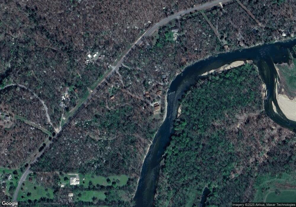
Map
Nearby Homes
- 22449 E 664 Rd
- 8119 N 544 Rd
- 00000 E 660 Rd
- 8195 Highway 82a
- 18079 E 680 Rd
- 4422 Highway 82a
- 0 N 510 Rd Unit 2543283
- 0 N 510 Rd Unit 2543284
- 0 N 510 Rd Unit 2543190
- 0 N 510 Rd Unit 2543294
- 0 N 510 Rd Unit 2543293
- 0 N 510 Rd Unit 2546232
- 0 N 510 Rd Unit 2543297
- 11457 N 510 Rd
- 12562 N Webster Rd
- 17844 E 688 Rd
- 105 Summit Ridge Dr
- 206 Alder Way
- 202 Alder Way
- 0 Alder Way
- 8700 N Hwy 10
- 8622 Highway 10
- 8647 N Highway 10
- 8647 N Hwy 10
- 8574 N Highway 10
- 8574 N Highway 10
- 8794 Highway 10
- 8796 N Highway 10
- 8796 Highway 10
- 8796 Oklahoma 10
- 8552 N Highway 10
- 8552 N Highway 10
- 8957 Highway 10
- 8951 N Highway 10
- 8948 N Highway 10
- 8375 Highway 10
- 9055 N Highway 10
- 8657 N Highway 10
- 9105 N Highway 10
- 9105 N Highway 10