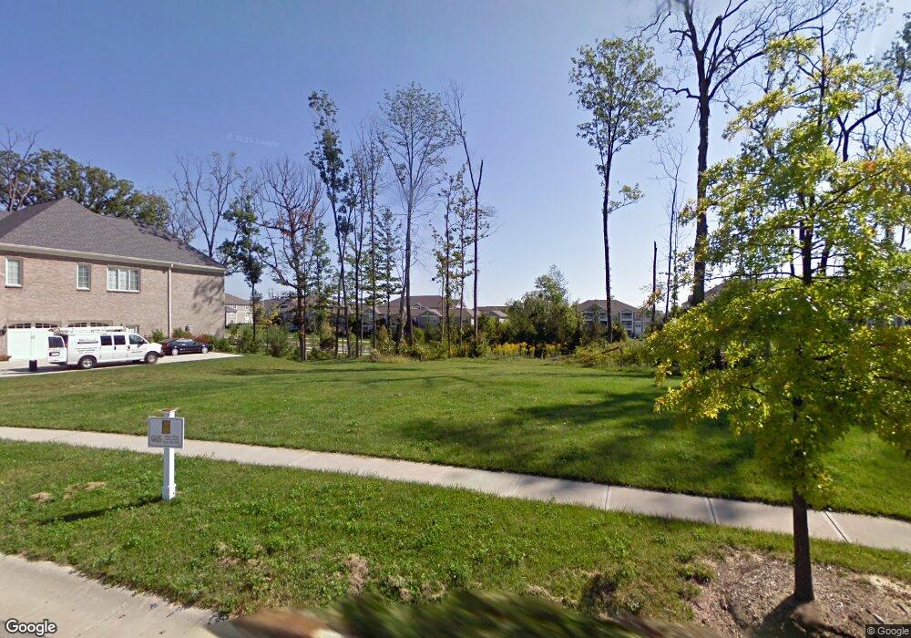
8630 Woodland Point Mason, OH 45040
Deerfield Township NeighborhoodEstimated Value: $1,222,000 - $1,979,000
4
Beds
5
Baths
4,438
Sq Ft
$343/Sq Ft
Est. Value
About This Home
This home is located at 8630 Woodland Point, Mason, OH 45040 and is currently estimated at $1,520,857, approximately $342 per square foot. 8630 Woodland Point is a home located in Warren County with nearby schools including Mason Intermediate Elementary School, Mason Middle School, and William Mason High School.
Ownership History
Date
Name
Owned For
Owner Type
Purchase Details
Closed on
Oct 9, 2015
Sold by
Cincinnati Lot Transfer Llc
Bought by
Asgher Shoaib and Asgher Hina
Current Estimated Value
Purchase Details
Closed on
Feb 27, 2009
Sold by
Hensley Custom Bldg Group Of Long Cv Llc
Bought by
American State Advisory Group Corp
Purchase Details
Closed on
Dec 11, 2006
Sold by
Long Cove Llc
Bought by
Hensley Custom Bldg Group Long Cove Llc
Create a Home Valuation Report for This Property
The Home Valuation Report is an in-depth analysis detailing your home's value as well as a comparison with similar homes in the area
Home Values in the Area
Average Home Value in this Area
Purchase History
| Date | Buyer | Sale Price | Title Company |
|---|---|---|---|
| Asgher Shoaib | -- | Attorney | |
| Cincinnati Lot Transfer Llc | -- | Attorney | |
| American State Advisory Group Corp | -- | None Available | |
| Hensley Custom Bldg Group Long Cove Llc | $174,466 | None Available |
Source: Public Records
Tax History Compared to Growth
Tax History
| Year | Tax Paid | Tax Assessment Tax Assessment Total Assessment is a certain percentage of the fair market value that is determined by local assessors to be the total taxable value of land and additions on the property. | Land | Improvement |
|---|---|---|---|---|
| 2024 | $18,496 | $423,620 | $56,000 | $367,620 |
| 2023 | $17,493 | $330,288 | $57,680 | $272,608 |
| 2022 | $17,166 | $330,288 | $57,680 | $272,608 |
| 2021 | $16,319 | $330,288 | $57,680 | $272,608 |
| 2020 | $18,742 | $320,667 | $56,000 | $264,667 |
| 2019 | $17,403 | $320,667 | $56,000 | $264,667 |
| 2018 | $17,410 | $320,667 | $56,000 | $264,667 |
| 2017 | $17,604 | $298,046 | $46,921 | $251,125 |
| 2016 | $2,944 | $46,921 | $46,921 | $0 |
| 2015 | $2,846 | $46,921 | $46,921 | $0 |
| 2014 | $2,935 | $44,690 | $44,690 | $0 |
| 2013 | $2,941 | $56,000 | $56,000 | $0 |
Source: Public Records
Map
Nearby Homes
- 5339 Mapledale Way
- 5369 N Shore Place
- 8421 Cameron Ct
- 5398 Harbourwatch Way
- 5532 Winding Cape Way
- 8659 Coveview Ct
- 5661 Baywatch Way
- 5626 Baywatch Way
- 9147 Elizabeth Ln Unit 9147
- 9204 Beacon St
- 7693 Misty Springs Ct
- 7725 Livingston Dr
- 7648 Waterfront Way
- 7660 Waterfront Way
- 7692 Waterfront Way
- 7858 Yellowwood Dr
- 7600 Waterfront Way
- 4765 Mallard Creek Dr
- 5819 Deer Run Dr
- 4447 Hyacinth Dr
- 8630 Woodland Point Unit POINTE
- 8634 Woodland Point Unit 196
- 8626 Woodland Point
- 8634 Woodland Pointe
- 197 Woodland Pointe
- 195 Woodland Pointe
- 193 Woodland Pointe
- 192 Woodland Pointe
- 190 Woodland Pointe
- 8638 Woodland Pointe
- 8607 Woodland Point
- 8610 Woodland Point Unit POINTE
- 8610 Woodland Point Unit 191
- 44 Hartfield Ln
- 15 Sycamore View Dr
- 8606 Woodland Pointe Point
- 8639 Woodland Point
- 8618 Woodland Point
- 8642 Woodland Point
- 191 Woodland Pointe
