8632 Burnside Dr Apex, NC 27539
Middle Creek NeighborhoodEstimated Value: $448,000 - $545,000
4
Beds
3
Baths
2,185
Sq Ft
$223/Sq Ft
Est. Value
About This Home
This home is located at 8632 Burnside Dr, Apex, NC 27539 and is currently estimated at $487,880, approximately $223 per square foot. 8632 Burnside Dr is a home located in Wake County with nearby schools including West Lake Elementary School, West Lake Middle, and Middle Creek High.
Ownership History
Date
Name
Owned For
Owner Type
Purchase Details
Closed on
Aug 21, 2016
Sold by
Mckenny Faye J and Mckenny Vernon G
Bought by
Phillips James M and Phillips Sandy W
Current Estimated Value
Home Financials for this Owner
Home Financials are based on the most recent Mortgage that was taken out on this home.
Original Mortgage
$189,000
Outstanding Balance
$150,458
Interest Rate
3.41%
Mortgage Type
New Conventional
Estimated Equity
$337,422
Purchase Details
Closed on
Jun 14, 2002
Sold by
Cendant Mobility Financial Corp
Bought by
Mckenny Vernon G and Mckenny Faye J
Purchase Details
Closed on
Apr 12, 2002
Sold by
Roberts David Jeffrey and Roberts Cynthia Glover
Bought by
Cendant Mobility Financial Corp
Create a Home Valuation Report for This Property
The Home Valuation Report is an in-depth analysis detailing your home's value as well as a comparison with similar homes in the area
Home Values in the Area
Average Home Value in this Area
Purchase History
| Date | Buyer | Sale Price | Title Company |
|---|---|---|---|
| Phillips James M | $239,000 | None Available | |
| Mckenny Vernon G | $188,000 | -- | |
| Cendant Mobility Financial Corp | $188,000 | -- |
Source: Public Records
Mortgage History
| Date | Status | Borrower | Loan Amount |
|---|---|---|---|
| Open | Phillips James M | $189,000 |
Source: Public Records
Tax History
| Year | Tax Paid | Tax Assessment Tax Assessment Total Assessment is a certain percentage of the fair market value that is determined by local assessors to be the total taxable value of land and additions on the property. | Land | Improvement |
|---|---|---|---|---|
| 2025 | $2,448 | $379,641 | $108,000 | $271,641 |
| 2024 | $2,378 | $379,641 | $108,000 | $271,641 |
Source: Public Records
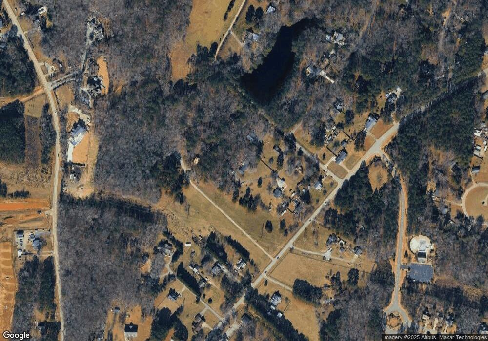
Map
Nearby Homes
- 4908 Dr
- 5024 Overeasy Dr
- 5004 Rustler Ct
- 5008 Rustler Ct
- 4912 Overeasy Dr
- 5012 Rustler Ct
- 4324 Brighton Ridge Dr
- 5032 Overeasy Dr
- 5037 Overeasy Dr
- 5033 Overeasy Dr
- 8801 Valley Hill Ct
- 5036 Overeasy Dr
- 5028 Overeasy Dr
- 4404 New Brighton Dr
- 2827 Brighton Forest Dr
- 2600 New Oxford Dr
- 2512 Thurrock Dr
- 2824 Oakley Woods Ln
- 2817 Oakley Woods Ln
- 4301 New Brighton Dr
- 8628 Burnside Dr
- 8624 Burnside Dr
- 4708 Johnson Pond Rd
- 8636 Burnside Dr
- 8620 Burnside Dr
- 8616 Burnside Dr
- 8640 Burnside Dr
- 4704 Johnson Pond Rd
- 0 Burnside Dr
- 8644 Burnside Dr
- 4710 Johnson Pond Rd
- 8560 Applecross Cir
- 8547 Applecross Cir
- 8629 Burnside Dr
- 4716 Johnson Pond Rd
- 4800 Johnson Pond Rd
- 8549 Applecross Cir
- 4709 Johnson Pond Rd
- 8556 Applecross Cir
- 4705 Johnson Pond Rd
Your Personal Tour Guide
Ask me questions while you tour the home.