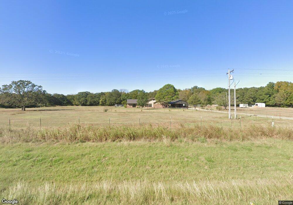
8633 Us Highway 177 Ardmore, OK 73401
Estimated Value: $278,000 - $445,000
2
Beds
3
Baths
2,592
Sq Ft
$137/Sq Ft
Est. Value
About This Home
This home is located at 8633 Us Highway 177, Ardmore, OK 73401 and is currently estimated at $355,504, approximately $137 per square foot. 8633 Us Highway 177 is a home located in Carter County with nearby schools including Dickson Elementary School, Dickson Upper Elementary School, and Dickson Middle School.
Ownership History
Date
Name
Owned For
Owner Type
Purchase Details
Closed on
May 1, 2014
Sold by
Rrevocable Trust Of James Dennis Maher
Bought by
Weldon Darrell W and Weldon Tanya E
Current Estimated Value
Home Financials for this Owner
Home Financials are based on the most recent Mortgage that was taken out on this home.
Original Mortgage
$166,920
Outstanding Balance
$126,086
Interest Rate
4.25%
Mortgage Type
FHA
Estimated Equity
$229,418
Purchase Details
Closed on
May 24, 2001
Sold by
Boucher Robert L
Bought by
Maher James Dennis and Maher Am
Create a Home Valuation Report for This Property
The Home Valuation Report is an in-depth analysis detailing your home's value as well as a comparison with similar homes in the area
Purchase History
| Date | Buyer | Sale Price | Title Company |
|---|---|---|---|
| Weldon Darrell W | $170,000 | Stewart Abstract & Title | |
| Maher James Dennis | $160,000 | -- |
Source: Public Records
Mortgage History
| Date | Status | Borrower | Loan Amount |
|---|---|---|---|
| Open | Weldon Darrell W | $166,920 |
Source: Public Records
Tax History
| Year | Tax Paid | Tax Assessment Tax Assessment Total Assessment is a certain percentage of the fair market value that is determined by local assessors to be the total taxable value of land and additions on the property. | Land | Improvement |
|---|---|---|---|---|
| 2025 | $2,298 | $23,458 | $2,040 | $21,418 |
| 2024 | $2,298 | $22,776 | $2,040 | $20,736 |
| 2023 | $2,218 | $22,112 | $2,040 | $20,072 |
| 2022 | $2,017 | $21,468 | $2,040 | $19,428 |
| 2021 | $2,071 | $21,468 | $2,040 | $19,428 |
| 2020 | $2,040 | $21,468 | $2,040 | $19,428 |
| 2019 | $1,969 | $21,407 | $2,040 | $19,367 |
| 2018 | $1,989 | $21,334 | $2,040 | $19,294 |
| 2017 | $1,966 | $20,713 | $2,040 | $18,673 |
| 2016 | $1,871 | $20,108 | $2,040 | $18,068 |
| 2015 | $1,903 | $20,400 | $1,440 | $18,960 |
| 2014 | $1,431 | $16,759 | $536 | $16,223 |
Source: Public Records
Map
Nearby Homes
- 4539 Pleasant Rd
- 441 Rambler Rd
- 1000 Ponderosa Rd
- 203 Fernwood Rd
- 2304 Pleasant Rd
- 1905 Grandview Rd
- Two 0.74 Acre (Both Equal 1 48 Acre Parcel Total)
- Two 1.39
- 0.68 Acre Parcel
- 1544 Grandview Rd
- 1114 Comet Rd
- 1400 Saybrook Rd
- 13 Titan Dr
- 2 Titan Dr
- 1 Titan Dr
- 1506 Saybrook Rd
- 7 Ponderosa Rd
- 974 Grandview Rd
- 6 Grandview Rd
- 3 Grandview Rd
Your Personal Tour Guide
Ask me questions while you tour the home.