8634 E 700 N Union City, IN 47390
Estimated Value: $67,285 - $172,000
3
Beds
1
Bath
1,772
Sq Ft
$66/Sq Ft
Est. Value
About This Home
This home is located at 8634 E 700 N, Union City, IN 47390 and is currently estimated at $117,571, approximately $66 per square foot. 8634 E 700 N is a home located in Randolph County with nearby schools including North Side Elementary School and Union City Community Jr/Sr High School.
Ownership History
Date
Name
Owned For
Owner Type
Purchase Details
Closed on
Sep 17, 2021
Sold by
Runkle Jeffrey D
Bought by
The Kerns Family Limited Partnership
Current Estimated Value
Purchase Details
Closed on
Jan 30, 2018
Sold by
Runkle Marita L
Bought by
Runkle Jeffrey D
Purchase Details
Closed on
Oct 15, 2010
Sold by
Farmer Allison and Ullery Allison
Bought by
Runkle Jeffrey Duane and Runkle Marita
Home Financials for this Owner
Home Financials are based on the most recent Mortgage that was taken out on this home.
Original Mortgage
$44,000
Interest Rate
4.36%
Mortgage Type
New Conventional
Purchase Details
Closed on
Oct 24, 2005
Sold by
Smedley David
Bought by
Farmer Allison
Home Financials for this Owner
Home Financials are based on the most recent Mortgage that was taken out on this home.
Original Mortgage
$60,000
Interest Rate
5.89%
Mortgage Type
New Conventional
Create a Home Valuation Report for This Property
The Home Valuation Report is an in-depth analysis detailing your home's value as well as a comparison with similar homes in the area
Purchase History
| Date | Buyer | Sale Price | Title Company |
|---|---|---|---|
| The Kerns Family Limited Partnership | $45,000 | None Available | |
| Runkle Jeffrey D | -- | None Available | |
| Runkle Jeffrey Duane | -- | None Available | |
| Farmer Allison | -- | None Available |
Source: Public Records
Mortgage History
| Date | Status | Borrower | Loan Amount |
|---|---|---|---|
| Previous Owner | Runkle Jeffrey Duane | $44,000 | |
| Previous Owner | Farmer Allison | $60,000 |
Source: Public Records
Tax History
| Year | Tax Paid | Tax Assessment Tax Assessment Total Assessment is a certain percentage of the fair market value that is determined by local assessors to be the total taxable value of land and additions on the property. | Land | Improvement |
|---|---|---|---|---|
| 2024 | $1,053 | $61,700 | $20,000 | $41,700 |
| 2023 | $893 | $50,900 | $20,000 | $30,900 |
| 2022 | $908 | $50,400 | $20,000 | $30,400 |
| 2021 | $742 | $82,000 | $15,900 | $66,100 |
| 2020 | $1,337 | $76,000 | $15,900 | $60,100 |
| 2019 | $1,287 | $74,400 | $15,900 | $58,500 |
| 2018 | $1,226 | $74,400 | $15,900 | $58,500 |
| 2017 | $1,086 | $70,900 | $15,900 | $55,000 |
| 2016 | $1,081 | $71,000 | $15,900 | $55,100 |
| 2014 | $734 | $49,700 | $15,200 | $34,500 |
| 2013 | $734 | $48,500 | $15,200 | $33,300 |
Source: Public Records
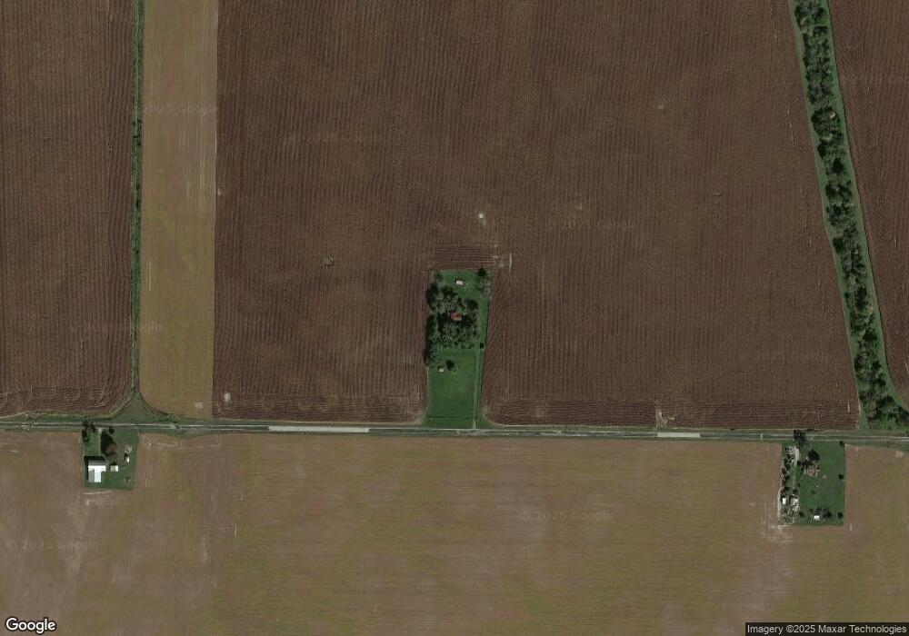
Map
Nearby Homes
- 591 N Walnut St
- 504 Leahey St
- 502 Leahey St
- LOT 9 Governor P Isaac Add
- LOT 18 Governor Isaac P Gray Add
- LOT 19 & 20 Governor Isaac P Gray Add
- 198 North St
- 227 North St
- 623 N Union St
- 623 N Union
- 612 N Howard St
- 305 E North St
- 424 W Hickory St
- 1210 W Hickory St
- 224 N Howard St
- 504 W Pearl St
- 1103 W Oak St
- 223 S Market St
- 800 W Chestnut St
- 227 South St
- 8427 E 700 N
- 8835 E 700 N
- 8533 E 750 N
- 7272 N State Line Rd
- 8204 E 700 N
- 11923 Oh In State Line Rd N
- 12225 Oh In State Line Rd N
- 11795 Oh In State Line Rd N
- 7373 N 800 E
- 8099 E 750 N
- 8099 E 750 N
- 6885 N 800 E
- 11733 Oh In State Line Rd N
- 6888 N 800 E
- 11723 Ohio Ind State Line Rd
- 11723 Oh In State Line Rd N
- 11711 Oh In State Line Rd N
- 177 Brock Cosmos Rd
- 11705 Oh In State Line Rd N
- 11685 Ohio-Indiana State Line Rd
Your Personal Tour Guide
Ask me questions while you tour the home.