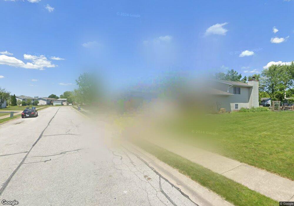
8635 Sherman St Crown Point, IN 46307
Estimated Value: $354,000 - $392,000
3
Beds
2
Baths
2,528
Sq Ft
$145/Sq Ft
Est. Value
About This Home
This home is located at 8635 Sherman St, Crown Point, IN 46307 and is currently estimated at $365,916, approximately $144 per square foot. 8635 Sherman St is a home located in Lake County with nearby schools including Kolling Elementary School, Hal E Clark Middle School, and Lake Central High School.
Ownership History
Date
Name
Owned For
Owner Type
Purchase Details
Closed on
May 16, 2006
Sold by
Extin Thomas M and Extin Donelle L
Bought by
Extin Donelle L
Current Estimated Value
Home Financials for this Owner
Home Financials are based on the most recent Mortgage that was taken out on this home.
Original Mortgage
$172,000
Interest Rate
5.75%
Mortgage Type
Fannie Mae Freddie Mac
Create a Home Valuation Report for This Property
The Home Valuation Report is an in-depth analysis detailing your home's value as well as a comparison with similar homes in the area
Home Values in the Area
Average Home Value in this Area
Purchase History
| Date | Buyer | Sale Price | Title Company |
|---|---|---|---|
| Extin Donelle L | -- | Community Title Company |
Source: Public Records
Mortgage History
| Date | Status | Borrower | Loan Amount |
|---|---|---|---|
| Closed | Extin Donelle L | $172,000 |
Source: Public Records
Tax History Compared to Growth
Tax History
| Year | Tax Paid | Tax Assessment Tax Assessment Total Assessment is a certain percentage of the fair market value that is determined by local assessors to be the total taxable value of land and additions on the property. | Land | Improvement |
|---|---|---|---|---|
| 2024 | $4,728 | $296,300 | $58,900 | $237,400 |
| 2023 | $2,052 | $286,300 | $58,900 | $227,400 |
| 2022 | $2,106 | $263,300 | $46,300 | $217,000 |
| 2021 | $1,876 | $245,500 | $46,300 | $199,200 |
| 2020 | $1,804 | $232,900 | $45,400 | $187,500 |
| 2019 | $1,950 | $224,800 | $42,500 | $182,300 |
| 2018 | $1,867 | $215,700 | $42,500 | $173,200 |
| 2017 | $1,700 | $210,500 | $42,500 | $168,000 |
| 2016 | $1,563 | $200,100 | $42,500 | $157,600 |
| 2014 | $1,424 | $198,400 | $42,500 | $155,900 |
| 2013 | $1,373 | $192,500 | $42,500 | $150,000 |
Source: Public Records
Map
Nearby Homes
- 6440 W 89th Ave
- 6076 Wexford Way
- 6501 W 89th Ave
- 8521 Morse Place
- 8903 Edison St
- 8849 Calhoun Place
- 2921 Morningside Dr
- 2914 Morningside Dr
- 7403 W 85th Ave
- 7605 W 86th Ave
- 2720 Painted Leaf Ct
- 2756 Autumn Dr
- 8355 Blaine Place
- 5547 Maggie Mae Ct
- 6308 W 91st Ave
- 1813 Redwood Ct
- 8748 Durbin Ln
- 5544 Maggie Mae Ct
- 1881 Orchard Ct
- 6640 W 89th Ave
- 8647 Sherman St
- 6497 W 86th Ave
- 6489 W 86th Ave
- 8659 Sherman St
- 6469 W 86th Ave
- 8603 Wheeler Place
- 8583 Wheeler Place
- 8634 Sherman St
- 8615 Wheeler Place
- 8646 Sherman St
- 6519 W 86th Ave
- 8667 Sherman St
- 8627 Wheeler Place
- 8658 Sherman St
- 6429 W 86th Ave
- 6498 W 86th Ave
- 6490 W 86th Ave
- 6470 W 86th Ave
- 8638 Wheeler Place
- 6539 W 86th Ave