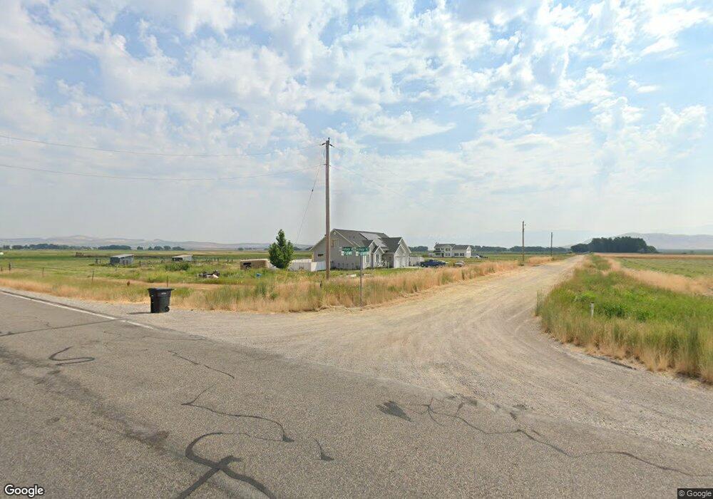
8637 W 9500 N Clarkston, UT 84305
Estimated Value: $455,000 - $762,000
5
Beds
3
Baths
1,857
Sq Ft
$309/Sq Ft
Est. Value
About This Home
This home is located at 8637 W 9500 N, Clarkston, UT 84305 and is currently estimated at $573,808, approximately $308 per square foot. 8637 W 9500 N is a home located in Cache County with nearby schools including Lewiston School, White Pine Middle School, and North Cache Middle School.
Ownership History
Date
Name
Owned For
Owner Type
Purchase Details
Closed on
Feb 22, 2019
Sold by
Buttars Stephan Jay
Bought by
Buttars Stephan Jay and Mattson Loralee
Current Estimated Value
Purchase Details
Closed on
Aug 17, 2016
Sold by
Buttars Stephan Jay and Buttars Amanda
Bought by
Buttars Stephan Jay
Purchase Details
Closed on
Apr 9, 2010
Sold by
Ritch W Meyers Inc
Bought by
Buttars Stephen Jay and Buttars Amanda
Home Financials for this Owner
Home Financials are based on the most recent Mortgage that was taken out on this home.
Original Mortgage
$184,065
Interest Rate
4.87%
Mortgage Type
FHA
Purchase Details
Closed on
Jun 2, 2009
Sold by
Cox Douglas L
Bought by
Ritch W Meyer Inc and Rsg Investments Llc
Purchase Details
Closed on
Apr 30, 2008
Sold by
Cox Douglas L and Loosli Dixie Dahle
Bought by
Cox Douglas L
Purchase Details
Closed on
Mar 29, 2007
Sold by
Cox Douglas L
Bought by
Cox Douglas L and Loosli Dixie Dahle
Home Financials for this Owner
Home Financials are based on the most recent Mortgage that was taken out on this home.
Original Mortgage
$233,600
Interest Rate
7%
Mortgage Type
Adjustable Rate Mortgage/ARM
Purchase Details
Closed on
Mar 19, 2007
Sold by
Cox Douglas L
Bought by
Cox Douglas L and Loosli Dixie Dahle
Home Financials for this Owner
Home Financials are based on the most recent Mortgage that was taken out on this home.
Original Mortgage
$233,600
Interest Rate
7%
Mortgage Type
Adjustable Rate Mortgage/ARM
Purchase Details
Closed on
Jul 18, 2005
Sold by
Cox Douglas L
Bought by
Cox Douglas L and Loosli Dixie Dhale
Home Financials for this Owner
Home Financials are based on the most recent Mortgage that was taken out on this home.
Original Mortgage
$190,000
Interest Rate
1%
Mortgage Type
New Conventional
Purchase Details
Closed on
Jun 2, 2005
Sold by
Loosli Dixie Dahle
Bought by
Cox Douglas L
Home Financials for this Owner
Home Financials are based on the most recent Mortgage that was taken out on this home.
Original Mortgage
$190,000
Interest Rate
1%
Mortgage Type
New Conventional
Purchase Details
Closed on
Oct 1, 2001
Sold by
Loosle Dixie and Loosle Dixie A
Bought by
Loosli Dixie Dahle
Create a Home Valuation Report for This Property
The Home Valuation Report is an in-depth analysis detailing your home's value as well as a comparison with similar homes in the area
Home Values in the Area
Average Home Value in this Area
Purchase History
| Date | Buyer | Sale Price | Title Company |
|---|---|---|---|
| Buttars Stephan Jay | -- | Northern Title Company | |
| Buttars Stephan Jay | -- | None Available | |
| Buttars Stephen Jay | -- | None Available | |
| Ritch W Meyer Inc | -- | None Available | |
| Cox Douglas L | -- | Meridian Title Company | |
| Cox Douglas L | -- | Accommodation | |
| Cox Douglas L | -- | Meridian Title Company | |
| Cox Douglas L | -- | Meridian Title Company | |
| Cox Douglas L | -- | Hickman Land Title Company | |
| Cox Douglas L | -- | Pinnacle Title | |
| Loosli Dixie Dahle | -- | Hickman Land Title Company |
Source: Public Records
Mortgage History
| Date | Status | Borrower | Loan Amount |
|---|---|---|---|
| Previous Owner | Buttars Stephen Jay | $184,065 | |
| Previous Owner | Cox Douglas L | $233,600 | |
| Previous Owner | Cox Douglas L | $190,000 |
Source: Public Records
Tax History Compared to Growth
Tax History
| Year | Tax Paid | Tax Assessment Tax Assessment Total Assessment is a certain percentage of the fair market value that is determined by local assessors to be the total taxable value of land and additions on the property. | Land | Improvement |
|---|---|---|---|---|
| 2025 | $1,908 | $311,835 | $0 | $0 |
| 2024 | $1,960 | $296,410 | $0 | $0 |
| 2023 | $2,037 | $288,165 | $0 | $0 |
| 2022 | $2,131 | $288,165 | $0 | $0 |
| 2021 | $1,660 | $313,205 | $81,050 | $232,155 |
| 2020 | $1,524 | $266,879 | $81,050 | $185,829 |
| 2019 | $1,612 | $266,878 | $81,050 | $185,828 |
| 2018 | $1,523 | $242,640 | $81,050 | $161,590 |
| 2017 | $1,384 | $131,770 | $0 | $0 |
| 2016 | $1,401 | $131,770 | $0 | $0 |
| 2015 | $1,383 | $130,395 | $0 | $0 |
| 2014 | $1,340 | $130,395 | $0 | $0 |
| 2013 | -- | $130,395 | $0 | $0 |
Source: Public Records
Map
Nearby Homes
- 102 E 200 S
- 177 W 100 S
- 13900 Dirty Head Rd
- 7300 W 8600 N
- 6350 W 9000 N
- 15 S 400 W
- 180 N 300 W
- 144 N 300 W Unit 13
- 141 N 300 W Unit 12
- 165 N 300 W Unit 11
- 172 N 300 W Unit 14
- 9000 N 6400 W
- 145 S 400 W
- 115 N 100 W Unit 23
- 312 W 200 N Unit 10
- 222 W 200 N Unit 18
- 165 W 200 N
- 136 W 200 N Unit 21
- 244 W 200 N Unit 17
- 260 W 200 N Unit 16