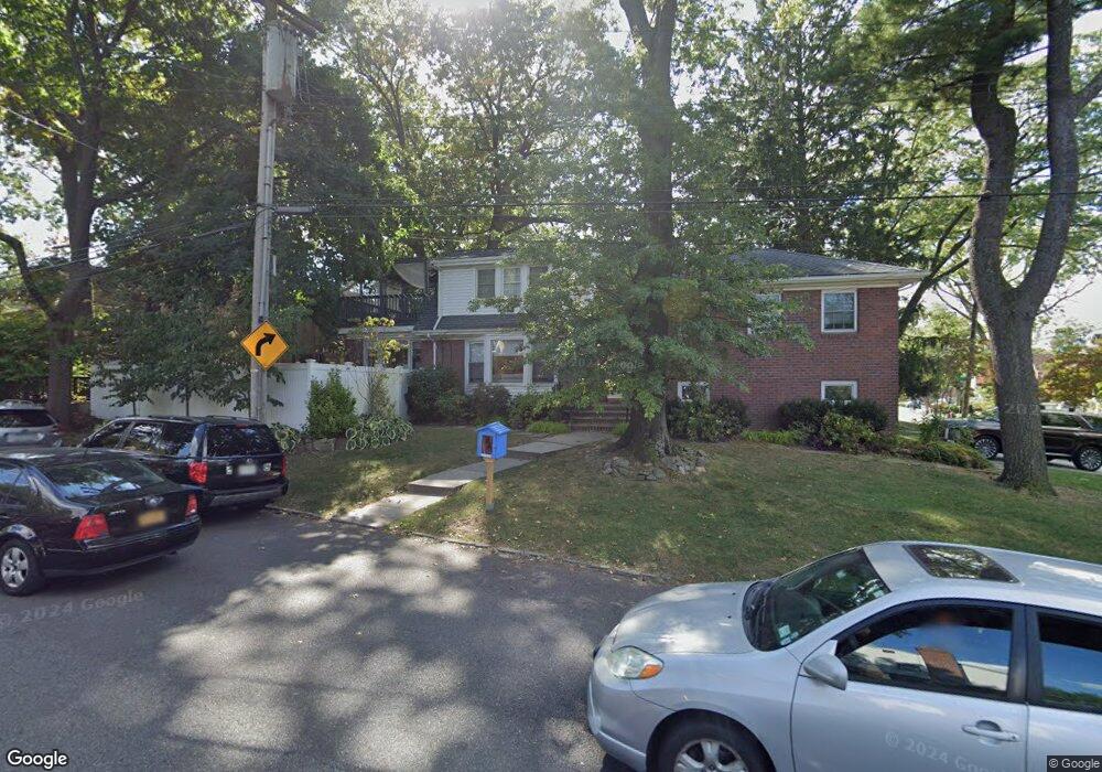
8638 Dunton St Hollis, NY 11423
Holliswood NeighborhoodEstimated Value: $1,267,336 - $1,609,000
--
Bed
--
Bath
2,026
Sq Ft
$717/Sq Ft
Est. Value
About This Home
This home is located at 8638 Dunton St, Hollis, NY 11423 and is currently estimated at $1,452,834, approximately $717 per square foot. 8638 Dunton St is a home located in Queens County with nearby schools including The Bellaire School, Jean Nuzzi Intermediate School, and Incarnation Catholic Academy.
Ownership History
Date
Name
Owned For
Owner Type
Purchase Details
Closed on
Aug 13, 2010
Sold by
Silberman Jim and Silberman Rita
Bought by
Klein Jay and Klein Rachel
Current Estimated Value
Home Financials for this Owner
Home Financials are based on the most recent Mortgage that was taken out on this home.
Original Mortgage
$591,600
Outstanding Balance
$392,880
Interest Rate
4.63%
Mortgage Type
Purchase Money Mortgage
Estimated Equity
$1,059,954
Create a Home Valuation Report for This Property
The Home Valuation Report is an in-depth analysis detailing your home's value as well as a comparison with similar homes in the area
Home Values in the Area
Average Home Value in this Area
Purchase History
| Date | Buyer | Sale Price | Title Company |
|---|---|---|---|
| Klein Jay | $740,000 | -- |
Source: Public Records
Mortgage History
| Date | Status | Borrower | Loan Amount |
|---|---|---|---|
| Open | Klein Jay | $591,600 |
Source: Public Records
Tax History Compared to Growth
Tax History
| Year | Tax Paid | Tax Assessment Tax Assessment Total Assessment is a certain percentage of the fair market value that is determined by local assessors to be the total taxable value of land and additions on the property. | Land | Improvement |
|---|---|---|---|---|
| 2025 | $12,035 | $59,927 | $16,481 | $43,446 |
| 2024 | $12,035 | $59,918 | $19,746 | $40,172 |
| 2023 | $11,754 | $58,523 | $16,471 | $42,052 |
| 2022 | $11,201 | $62,520 | $20,940 | $41,580 |
| 2021 | $11,140 | $58,320 | $20,940 | $37,380 |
| 2020 | $10,571 | $59,040 | $20,940 | $38,100 |
| 2019 | $10,445 | $56,400 | $20,940 | $35,460 |
| 2018 | $9,644 | $48,769 | $16,802 | $31,967 |
| 2017 | $9,232 | $46,758 | $17,105 | $29,653 |
| 2016 | $8,509 | $46,758 | $17,105 | $29,653 |
| 2015 | $5,100 | $41,616 | $22,936 | $18,680 |
| 2014 | $5,100 | $41,610 | $19,498 | $22,112 |
Source: Public Records
Map
Nearby Homes
- 8649 Dunton St
- 86-70 Francis Lewis Blvd Unit A-44
- 86-70 Francis Lewis Blvd Unit A55
- 86-70 Francis Lewis Blvd Unit A-13
- 87-10 204th St Unit B-28
- 87-10 204th St Unit A-62
- 87-30 204th St Unit B48
- 87-30 204th St Unit A-78
- 87-30 204th St Unit B55
- 198-16 Mclaughlin Ave
- 8730 204th St Unit A61
- 8719 204th St Unit A41
- 87-15 204th St Unit B57
- 87-50 204 St Unit B46
- 87-50 204 St Unit A72
- 87-50 204th St Unit A66
- 87-50 204 St Unit B74
- 198-31 Pompeii Ave
- 8601 Marengo St
- 19922 Keno Ave
- 19922 Epsom Course
- 8446 Dunton St
- 19918 Epsom Course
- 19918 Epsom Course
- 8646 Dunton St
- 86-41 Dunton St
- 8641 Dunton St
- 19914 Epsom Course
- 8645 Dunton St
- 19929 Romeo Ct
- 19919 Romeo Ct
- 19915 Romeo Ct
- 19906 Epsom Course
- 19906 Epsom Course
- 86-53 Dunton St
- 8634 Francis Lewis Blvd
- 20016 Epsom Course
- 8634 Sutro St
- 8653 Dunton St
- 19911 Romeo Ct