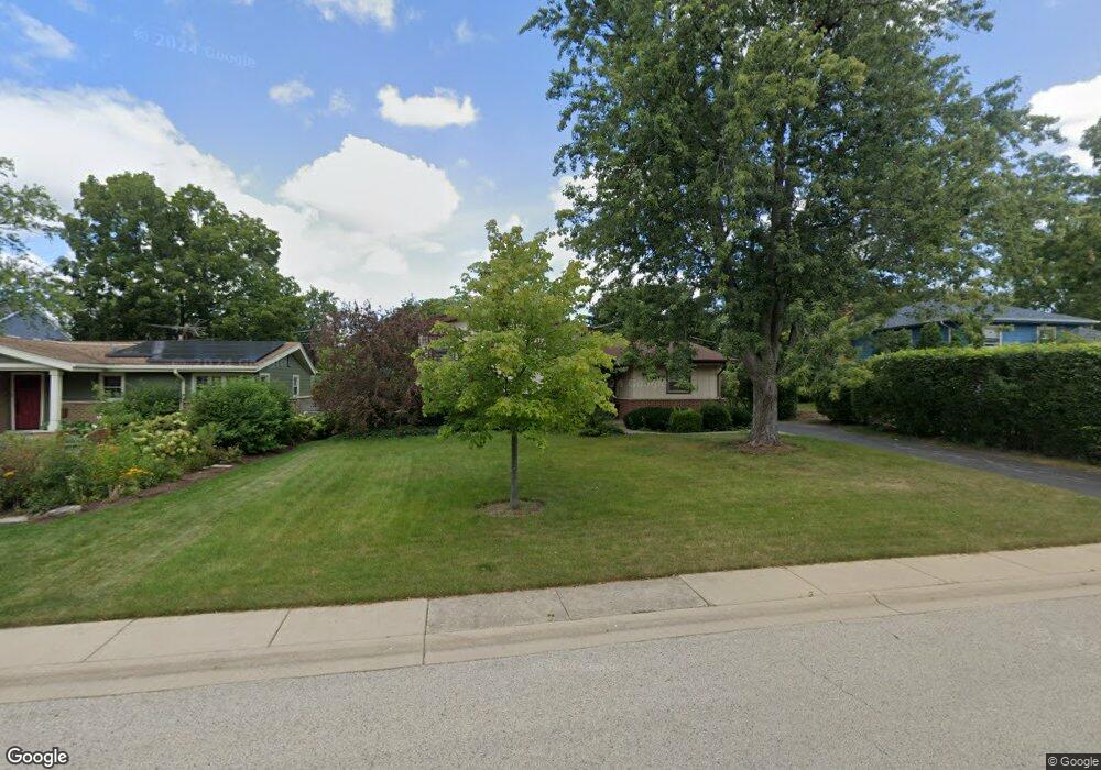
864 Brookside Ln Deerfield, IL 60015
Estimated Value: $498,000 - $533,000
About This Home
This home is located at 864 Brookside Ln, Deerfield, IL 60015 and is currently estimated at $513,354, approximately $422 per square foot. 864 Brookside Ln is a home located in Lake County with nearby schools including Kipling Elementary School, Alan B Shepard Middle School, and Deerfield High School.
Ownership History
We collect this data history from publicly available records. To have your information removed, we recommend requesting removal directly through your county’s website.
Purchase Details
Purchase Details
Home Values in the Area
Average Home Value in this Area
Purchase History
We collect this data history from publicly available records. To have your information removed, we recommend requesting removal directly through your county’s website.
| Date | Buyer | Sale Price | Title Company |
|---|---|---|---|
| -- | Accommodation | ||
| -- | None Available |
Tax History
We collect this data history from publicly available records. To have your information removed, we recommend requesting removal directly through your county’s website.
| Year | Tax Paid | Tax Assessment Tax Assessment Total Assessment is a certain percentage of the fair market value that is determined by local assessors to be the total taxable value of land and additions on the property. | Land | Improvement |
|---|---|---|---|---|
| 2025 | $9,926 | $129,563 | $45,482 | $84,081 |
| 2024 | $9,661 | $123,581 | $43,382 | $80,199 |
| 2023 | $9,923 | $118,599 | $41,633 | $76,966 |
| 2022 | $9,923 | $115,685 | $44,717 | $70,968 |
| 2021 | $9,337 | $111,536 | $43,113 | $68,423 |
| 2020 | $8,982 | $111,771 | $43,204 | $68,567 |
| 2019 | $8,783 | $111,582 | $43,131 | $68,451 |
| 2018 | $8,757 | $115,590 | $45,715 | $69,875 |
| 2017 | $8,686 | $115,221 | $45,569 | $69,652 |
| 2016 | $4,216 | $110,864 | $43,846 | $67,018 |
| 2015 | $8,207 | $104,166 | $41,197 | $62,969 |
| 2014 | $7,910 | $99,585 | $41,492 | $58,093 |
| 2012 | $7,828 | $98,707 | $41,126 | $57,581 |
Map
- 914 Central Ave
- 610 Robert York Ave Unit 202
- 714 Chestnut St
- 671 Central Ave
- 465 Princeton Ln
- 432 Kelburn Rd Unit 121
- 617 Waukegan Rd
- 412 Kelburn Rd Unit 115
- 402 Kelburn Rd Unit 323
- 728 Price Ln
- 495 Milford Rd
- 382 Kelburn Rd Unit 221
- 1150 Osterman Ave Unit C
- 1060 Deerfield Rd
- 409 Willow Ave
- 676 Deerpath Dr
- 737 Deerpath Dr
- 1220 Anthony Ln
- 757 Kipling Place
- 208 Pine St
Ask me questions while you tour the home.