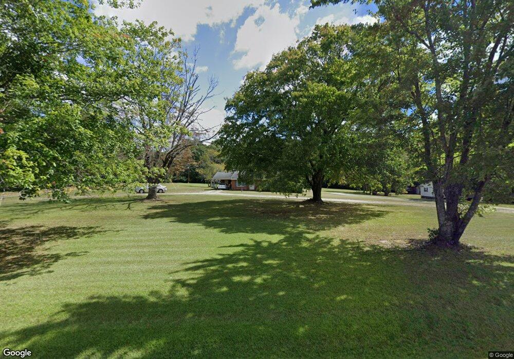
864 Moulton Rd Louisburg, NC 27549
Estimated Value: $242,000 - $344,000
3
Beds
3
Baths
1,584
Sq Ft
$178/Sq Ft
Est. Value
About This Home
This home is located at 864 Moulton Rd, Louisburg, NC 27549 and is currently estimated at $282,230, approximately $178 per square foot. 864 Moulton Rd is a home located in Franklin County with nearby schools including Louisburg Elementary School, Terrell Lane Middle School, and Louisburg High School.
Ownership History
Date
Name
Owned For
Owner Type
Purchase Details
Closed on
Jan 31, 2006
Sold by
Hudson Larry H and Hudson Janice P
Bought by
Barefoot Sharon M and Barefoot James Donald
Current Estimated Value
Home Financials for this Owner
Home Financials are based on the most recent Mortgage that was taken out on this home.
Original Mortgage
$12,264
Outstanding Balance
$6,759
Interest Rate
6.04%
Mortgage Type
Purchase Money Mortgage
Estimated Equity
$275,471
Create a Home Valuation Report for This Property
The Home Valuation Report is an in-depth analysis detailing your home's value as well as a comparison with similar homes in the area
Home Values in the Area
Average Home Value in this Area
Purchase History
| Date | Buyer | Sale Price | Title Company |
|---|---|---|---|
| Barefoot Sharon M | -- | None Available | |
| Hudson Larry H | $50,000 | None Available |
Source: Public Records
Mortgage History
| Date | Status | Borrower | Loan Amount |
|---|---|---|---|
| Open | Barefoot Sharon M | $12,264 |
Source: Public Records
Tax History Compared to Growth
Tax History
| Year | Tax Paid | Tax Assessment Tax Assessment Total Assessment is a certain percentage of the fair market value that is determined by local assessors to be the total taxable value of land and additions on the property. | Land | Improvement |
|---|---|---|---|---|
| 2025 | $1,356 | $206,750 | $51,980 | $154,770 |
| 2024 | $1,356 | $206,750 | $51,980 | $154,770 |
| 2023 | $1,228 | $126,720 | $16,060 | $110,660 |
| 2022 | $1,218 | $126,720 | $16,060 | $110,660 |
| 2021 | $1,231 | $126,720 | $16,060 | $110,660 |
| 2020 | $1,225 | $126,720 | $16,060 | $110,660 |
| 2019 | $1,212 | $126,720 | $16,060 | $110,660 |
| 2018 | $1,210 | $126,720 | $16,060 | $110,660 |
| 2017 | $981 | $92,120 | $14,600 | $77,520 |
| 2016 | $1,013 | $92,120 | $14,600 | $77,520 |
| 2015 | $1,008 | $92,120 | $14,600 | $77,520 |
| 2014 | $935 | $92,120 | $14,600 | $77,520 |
Source: Public Records
Map
Nearby Homes
- 0 Zinnia Ct Unit 10129898
- 376 T K Allen Rd
- 06 Tillery Dr
- 08 Tillery Dr
- 11 Tillery Dr
- 592 Perdues Rd
- 09 Tillery Dr
- 0 Beasley Rd Unit 10130664
- 4224 Us 401 Hwy N
- 76 Sutton Rd
- 0 Breedlove Rd Unit 10076336
- 642 Breedlove Rd
- 35 Jonesville Ln
- 109 Drew St
- 615 Woodland Trail
- 307 Wilson-Fuller Rd
- 7.69 Acres N Carolina 561
- 23.20 Acre N Carolina 561
- 10.26 Acre N Carolina 561
- 0 Sutton Rd
- 908 Moulton Rd
- 867 Moulton Rd
- 15 Crimson Rock Ln
- 813 Moulton Rd
- 813 Moulton Rd
- 0 Moulton Rd
- 910 Moulton Rd
- 822 Moulton Rd
- 764 Moulton Rd
- 49 Malcolm Neal Path
- 721 Moulton Rd
- 1032 Moulton Rd
- 1028 Moulton Rd
- 717 Moulton Rd
- 694 Moulton Rd
- 820 Moulton Rd
- 689 Moulton Rd
- 677 Moulton Rd
- 1119 Moulton Rd
- 1119 Moulton Rd