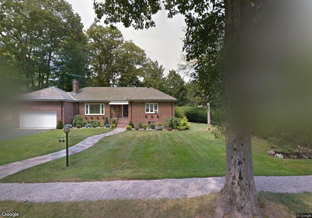
864 Newton St Chestnut Hill, MA 02467
South Brookline NeighborhoodEstimated Value: $1,820,000 - $3,243,000
5
Beds
6
Baths
3,358
Sq Ft
$692/Sq Ft
Est. Value
About This Home
This home is located at 864 Newton St, Chestnut Hill, MA 02467 and is currently estimated at $2,323,723, approximately $691 per square foot. 864 Newton St is a home located in Norfolk County with nearby schools including Baker School, Mount Alvernia Academy, and Brimmer & May School.
Ownership History
Date
Name
Owned For
Owner Type
Purchase Details
Closed on
Dec 4, 2001
Sold by
Brookline Green Llc
Bought by
Finkielsztein Eduardo and Finkielsztein Karen
Current Estimated Value
Home Financials for this Owner
Home Financials are based on the most recent Mortgage that was taken out on this home.
Original Mortgage
$600,000
Outstanding Balance
$236,018
Interest Rate
6.66%
Mortgage Type
Purchase Money Mortgage
Estimated Equity
$2,087,705
Create a Home Valuation Report for This Property
The Home Valuation Report is an in-depth analysis detailing your home's value as well as a comparison with similar homes in the area
Home Values in the Area
Average Home Value in this Area
Purchase History
| Date | Buyer | Sale Price | Title Company |
|---|---|---|---|
| Finkielsztein Eduardo | $1,270,000 | -- |
Source: Public Records
Mortgage History
| Date | Status | Borrower | Loan Amount |
|---|---|---|---|
| Open | Finkielsztein Eduardo | $600,000 |
Source: Public Records
Tax History Compared to Growth
Tax History
| Year | Tax Paid | Tax Assessment Tax Assessment Total Assessment is a certain percentage of the fair market value that is determined by local assessors to be the total taxable value of land and additions on the property. | Land | Improvement |
|---|---|---|---|---|
| 2025 | $23,181 | $2,348,600 | $0 | $2,348,600 |
| 2024 | $22,495 | $2,302,500 | $0 | $2,302,500 |
| 2023 | $23,604 | $2,367,500 | $0 | $2,367,500 |
| 2022 | $23,423 | $2,298,600 | $0 | $2,298,600 |
| 2021 | $22,991 | $2,346,000 | $0 | $2,346,000 |
| 2020 | $21,951 | $2,322,900 | $0 | $2,322,900 |
| 2019 | $20,728 | $2,212,200 | $0 | $2,212,200 |
| 2018 | $21,597 | $2,283,000 | $0 | $2,283,000 |
| 2017 | $20,885 | $2,113,900 | $0 | $2,113,900 |
| 2016 | $20,024 | $1,921,700 | $0 | $1,921,700 |
| 2015 | $18,658 | $1,747,000 | $0 | $1,747,000 |
| 2014 | $18,237 | $1,601,100 | $0 | $1,601,100 |
Source: Public Records
Map
Nearby Homes
- 109 Harwich Rd
- 14 Rolling Ln
- 70 Pond Brook Rd
- 44 Broadlawn Park Unit 22
- 64 Bryon Rd Unit 1
- 57 Broadlawn Park Unit 4B
- 21 Westgate Rd Unit 6
- 42 Bryon Rd Unit 6
- 23 Westgate Rd Unit 6
- 1206 Lagrange St Unit 1206
- 1206 Lagrange St
- 72 Wallis Rd
- 63 Drumlin Rd
- 1125 W Roxbury Pkwy
- 80 Louise Rd Unit 82
- 138 Woodland Rd
- 56 Cynthia Rd
- 5 Heathwood Ln
- 809-811 Heath St Unit 811
- 799 Heath St Unit 2