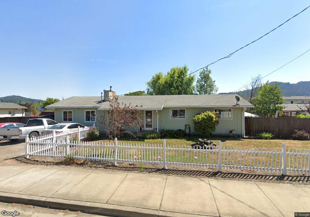
864 S Comstock Ave Sutherlin, OR 97479
Estimated Value: $261,000 - $336,000
3
Beds
1
Bath
1,104
Sq Ft
$272/Sq Ft
Est. Value
About This Home
This home is located at 864 S Comstock Ave, Sutherlin, OR 97479 and is currently estimated at $300,216, approximately $271 per square foot. 864 S Comstock Ave is a home located in Douglas County with nearby schools including East Sutherlin Primary School, West Sutherlin Intermediate School, and Sutherlin Middle School.
Create a Home Valuation Report for This Property
The Home Valuation Report is an in-depth analysis detailing your home's value as well as a comparison with similar homes in the area
Home Values in the Area
Average Home Value in this Area
Tax History Compared to Growth
Tax History
| Year | Tax Paid | Tax Assessment Tax Assessment Total Assessment is a certain percentage of the fair market value that is determined by local assessors to be the total taxable value of land and additions on the property. | Land | Improvement |
|---|---|---|---|---|
| 2025 | $2,212 | $178,683 | -- | -- |
| 2024 | $2,163 | $173,479 | -- | -- |
| 2023 | $2,101 | $168,427 | $0 | $0 |
| 2022 | $2,041 | $163,522 | $0 | $0 |
| 2021 | $1,982 | $158,760 | $0 | $0 |
| 2020 | $1,924 | $154,136 | $0 | $0 |
| 2019 | $1,868 | $149,647 | $0 | $0 |
| 2018 | $1,814 | $145,289 | $0 | $0 |
| 2017 | $1,855 | $141,058 | $0 | $0 |
| 2016 | $1,801 | $136,950 | $0 | $0 |
| 2015 | $1,753 | $132,962 | $0 | $0 |
| 2014 | $1,702 | $129,090 | $0 | $0 |
| 2013 | -- | $125,331 | $0 | $0 |
Source: Public Records
Map
Nearby Homes
- 142 S Comstock Ave
- 181 SW Hutchins St
- 1688 W Central Ave
- 1878 Trails End Ln
- 165 Robinson St
- 1907 W Duke Rd
- 226 Miller St
- 220 Miller St
- 401 N Comstock Ave
- 324 Dakota St
- 135 Elkton St
- 126 Coles Valley St
- 154 Coles Valley St
- 149 Coles Valley St
- 1660 Scardi Blvd
- 1716 Scardi Blvd Unit 174
- 788 Schoon Mountain Rd
- 351 Ashwood St
- 702 Divot Loop
- 427 S State St
- 852 S Comstock Ave
- 876 S Comstock Ave
- 863 Landing St
- 859 Landing St
- 849 Landing St
- 840 S Comstock Ave
- 875 S Comstock Ave
- 863 S Comstock Ave
- 840 S Comstock Rd
- 904 S Comstock Ave
- 841 Landing St
- 1402 Bebeau Ln
- 905 Landing St
- 924 S Comstock Ave
- 1413 Bebeau Ln
- 813 Landing St
- 866 Landing St
- 872 Landing St
- 850 Landing St
- 878 Landing St