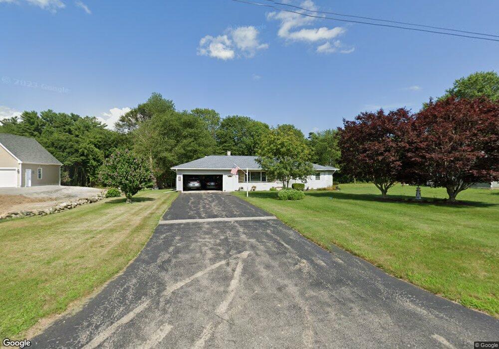
864 Sanford Rd Westport, MA 02790
North Westport NeighborhoodEstimated Value: $455,345 - $537,000
2
Beds
--
Bath
1,074
Sq Ft
$450/Sq Ft
Est. Value
About This Home
This home is located at 864 Sanford Rd, Westport, MA 02790 and is currently estimated at $482,836, approximately $449 per square foot. 864 Sanford Rd is a home located in Bristol County with nearby schools including Alice A. Macomber Primary School, Westport Elementary School, and Westport Middle-High School.
Create a Home Valuation Report for This Property
The Home Valuation Report is an in-depth analysis detailing your home's value as well as a comparison with similar homes in the area
Home Values in the Area
Average Home Value in this Area
Tax History Compared to Growth
Tax History
| Year | Tax Paid | Tax Assessment Tax Assessment Total Assessment is a certain percentage of the fair market value that is determined by local assessors to be the total taxable value of land and additions on the property. | Land | Improvement |
|---|---|---|---|---|
| 2025 | $2,908 | $390,400 | $171,700 | $218,700 |
| 2024 | $2,846 | $368,200 | $152,400 | $215,800 |
| 2023 | $2,816 | $345,100 | $138,900 | $206,200 |
| 2022 | $2,266 | $314,400 | $138,900 | $175,500 |
| 2021 | $2,266 | $262,900 | $114,800 | $148,100 |
| 2020 | $2,177 | $258,300 | $110,200 | $148,100 |
| 2019 | $2,132 | $257,800 | $110,200 | $147,600 |
| 2018 | $2,074 | $253,900 | $111,200 | $142,700 |
| 2017 | $1,973 | $247,500 | $107,600 | $139,900 |
| 2016 | $1,831 | $231,500 | $104,100 | $127,400 |
| 2015 | $1,745 | $220,100 | $106,400 | $113,700 |
Source: Public Records
Map
Nearby Homes
- 868 Sanford Rd
- 872 Sanford Rd
- 859 Sanford Rd
- 859 Sanford Rd Unit 2 Rear
- 849 Sanford Rd
- 874 Sanford Rd
- 840 Sanford Rd
- 873 Sanford Rd
- 837 Sanford Rd
- 878 Sanford Rd
- 836 Sanford Rd
- 880 Sanford Rd
- 829 Sanford Rd
- 883 Sanford Rd
- 830 Sanford Rd
- 890 Sanford Rd
- 903 Sanford Rd
- 821 Sanford Rd
- Lot 3 Brightwood Path
- 896 Sanford Rd