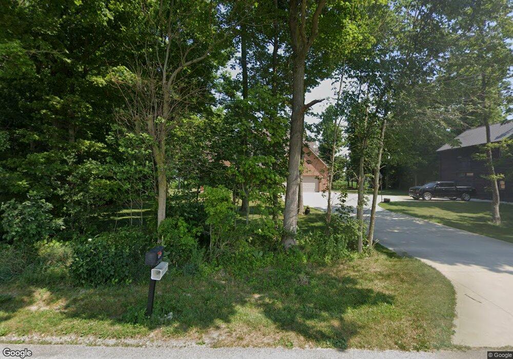
8644 Ray Rd Arcanum, OH 45304
Estimated Value: $471,000 - $649,000
3
Beds
3
Baths
2,840
Sq Ft
$190/Sq Ft
Est. Value
About This Home
This home is located at 8644 Ray Rd, Arcanum, OH 45304 and is currently estimated at $540,058, approximately $190 per square foot. 8644 Ray Rd is a home located in Darke County with nearby schools including Franklin Monroe Elementary School and Franklin Monroe High School.
Ownership History
Date
Name
Owned For
Owner Type
Purchase Details
Closed on
Aug 19, 2016
Sold by
Staton Roger C
Bought by
Gehron Ver D and Gehron Rachel A
Current Estimated Value
Home Financials for this Owner
Home Financials are based on the most recent Mortgage that was taken out on this home.
Original Mortgage
$347,000
Interest Rate
3.42%
Mortgage Type
VA
Purchase Details
Closed on
Jun 16, 2014
Sold by
Staton Margo E
Bought by
Staton Roger C
Create a Home Valuation Report for This Property
The Home Valuation Report is an in-depth analysis detailing your home's value as well as a comparison with similar homes in the area
Home Values in the Area
Average Home Value in this Area
Purchase History
| Date | Buyer | Sale Price | Title Company |
|---|---|---|---|
| Gehron Ver D | $347,000 | Chicago Title Company Llc | |
| Staton Roger C | -- | Attorney |
Source: Public Records
Mortgage History
| Date | Status | Borrower | Loan Amount |
|---|---|---|---|
| Previous Owner | Gehron Ver D | $347,000 |
Source: Public Records
Tax History Compared to Growth
Tax History
| Year | Tax Paid | Tax Assessment Tax Assessment Total Assessment is a certain percentage of the fair market value that is determined by local assessors to be the total taxable value of land and additions on the property. | Land | Improvement |
|---|---|---|---|---|
| 2024 | $5,069 | $152,590 | $14,900 | $137,690 |
| 2023 | $5,077 | $152,590 | $14,900 | $137,690 |
| 2022 | $5,061 | $133,090 | $12,990 | $120,100 |
| 2021 | $5,107 | $133,090 | $12,990 | $120,100 |
| 2020 | $4,890 | $133,090 | $12,990 | $120,100 |
| 2019 | $4,000 | $112,640 | $12,560 | $100,080 |
| 2018 | $4,042 | $112,640 | $12,560 | $100,080 |
| 2017 | $2,830 | $112,640 | $12,560 | $100,080 |
| 2016 | $2,852 | $84,250 | $11,400 | $72,850 |
| 2015 | $2,852 | $84,250 | $11,400 | $72,850 |
| 2014 | $2,871 | $84,250 | $11,400 | $72,850 |
| 2013 | $3,080 | $83,970 | $11,120 | $72,850 |
Source: Public Records
Map
Nearby Homes
- 8784 Grubbs Rex Rd
- 1486 Ohio 49
- 2012 Ohio 49
- 107 Merrie Ln
- 200 N Jefferson St
- 7163 Georgetown Verona Rd
- 11863 Hall Rd
- 10351 Number Nine Rd
- 610 Pearl St
- 620 Pearl St
- 0 Ohio 722 Unit 10051560
- 0 Ohio 722 Unit 10 Acres 1040185
- 0 Ohio 722 Unit 938536
- 0 Ohio 722
- 140 State Route 503
- 6806 Darke-Preble County Line Rd
- 693 Friday Rd
- 9517 Verona Rd
- 0 Friday Rd
- 6977 Alternate State Route 49
- 1065 Verona Pitsburg Rd
- 952 Verona-Pitsburg Rd
- 8535 Graw Rd
- 8527 Graw Rd
- 8853 Graw Rd
- 8516 Graw Rd
- 1386 Verona Pitsburg Rd
- 1386 Verona-Pitsburg Rd
- 916 Schnorf Jones Rd
- 1445 Verona Pitsburg Rd
- 935 Schnorf Jones Rd
- 8938 Graw Rd
- 1178 Schnorf Jones Rd
- 864 Schnorf Jones Rd
- 859 Schnorf Jones Rd
- 8954 Graw Rd
- 8667 Grubbs Rex Rd
- 795 Schnorf Jones Rd
- 795 Schnorf Jones Rd Unit JONES
- 1363 State Route 49