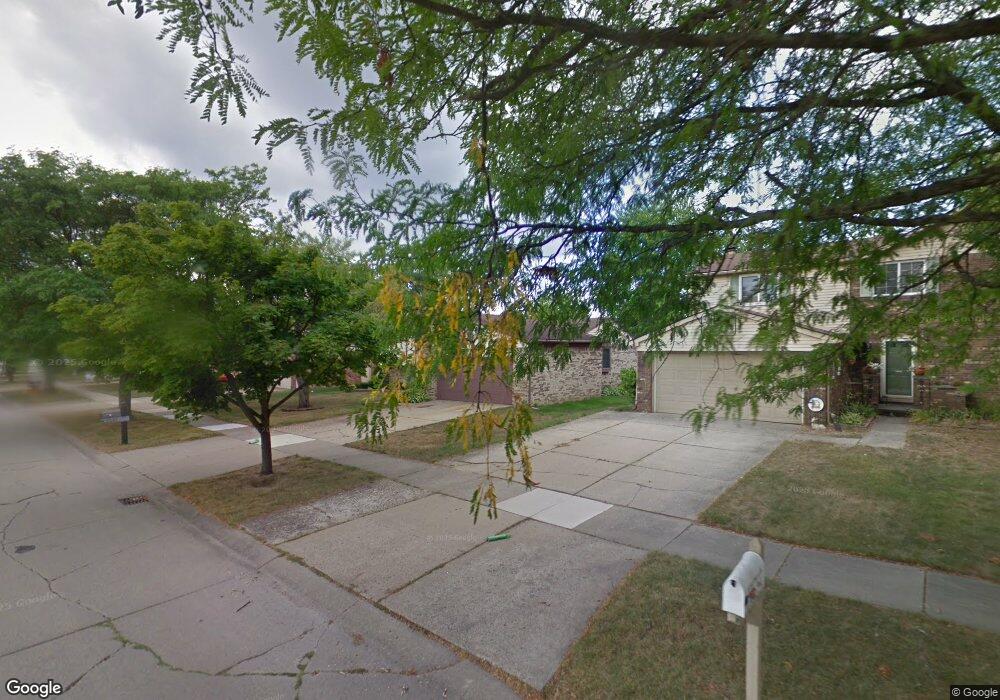
8645 Mannington Rd Canton, MI 48187
Estimated Value: $393,071 - $436,000
Studio
3
Baths
1,891
Sq Ft
$215/Sq Ft
Est. Value
About This Home
This home is located at 8645 Mannington Rd, Canton, MI 48187 and is currently estimated at $407,018, approximately $215 per square foot. 8645 Mannington Rd is a home located in Wayne County with nearby schools including Canton High School, Salem High School, and East Middle School.
Ownership History
Date
Name
Owned For
Owner Type
Purchase Details
Closed on
Oct 30, 1998
Sold by
Oldford James D
Bought by
Oldford James D
Current Estimated Value
Purchase Details
Closed on
Sep 6, 1994
Sold by
Mendoza Samuel
Bought by
Oldford James D and Oldford Ruth
Home Financials for this Owner
Home Financials are based on the most recent Mortgage that was taken out on this home.
Original Mortgage
$108,900
Interest Rate
5%
Mortgage Type
New Conventional
Create a Home Valuation Report for This Property
The Home Valuation Report is an in-depth analysis detailing your home's value as well as a comparison with similar homes in the area
Home Values in the Area
Average Home Value in this Area
Purchase History
| Date | Buyer | Sale Price | Title Company |
|---|---|---|---|
| Oldford James D | $171,000 | -- | |
| Oldford James D | $138,900 | -- |
Source: Public Records
Mortgage History
| Date | Status | Borrower | Loan Amount |
|---|---|---|---|
| Previous Owner | Oldford James D | $108,900 |
Source: Public Records
Tax History
| Year | Tax Paid | Tax Assessment Tax Assessment Total Assessment is a certain percentage of the fair market value that is determined by local assessors to be the total taxable value of land and additions on the property. | Land | Improvement |
|---|---|---|---|---|
| 2025 | $1,832 | $176,600 | $0 | $0 |
| 2024 | $1,779 | $160,300 | $0 | $0 |
| 2023 | $1,696 | $146,400 | $0 | $0 |
| 2022 | $3,746 | $126,700 | $0 | $0 |
| 2021 | $3,644 | $120,700 | $0 | $0 |
| 2020 | $3,692 | $120,800 | $0 | $0 |
| 2019 | $3,638 | $112,250 | $0 | $0 |
| 2018 | $1,442 | $113,290 | $0 | $0 |
| 2017 | $3,862 | $110,800 | $0 | $0 |
| 2016 | $3,336 | $110,900 | $0 | $0 |
| 2015 | $7,922 | $101,090 | $0 | $0 |
| 2013 | $7,675 | $81,980 | $0 | $0 |
| 2010 | -- | $82,450 | $39,000 | $43,450 |
Source: Public Records
Map
Nearby Homes
- 8830 Northern Ave
- 8815 Marlowe Ave
- 43529 Oakbrook Rd
- 9011 Elmhurst Ave
- 9048 Brookline Ave
- 0 Joy Rd Unit Parcel 3
- 0 Joy Rd Unit Parcel 2
- 0 Joy Rd Unit Parcel B
- 0 Joy Rd Unit Parcel A
- 9021 Elmhurst Ave
- 8887 Morrison Ave
- 44805 Joy Rd
- 44570 Tillotson Dr
- 43086 Versailles Rd
- 9453 Brookline Ave
- 7925 N Sheldon Rd
- 990 Ross St
- 9195 N Canton Center Rd
- 45325 Stonehedge Dr
- 44571 Clare Blvd
- 8663 Mannington Rd
- 8629 Mannington Rd
- 8580 Westchester Ln
- 8598 Westchester Ln
- 8679 Mannington Rd
- 8617 Mannington Rd
- 8560 Westchester Ln
- 8616 Westchester Ln
- 43850 Ascot St
- 8595 Mannington Rd
- 8544 Westchester Ln
- 8622 Mannington Rd
- 8705 Mannington Rd
- 8650 Westchester Ln
- 8740 Westchester Ln
- 8694 Mannington Rd
- 43820 Ascot St
- 8598 Mannington Rd
- 8571 Mannington Rd
- 8526 Westchester Ln
Your Personal Tour Guide
Ask me questions while you tour the home.