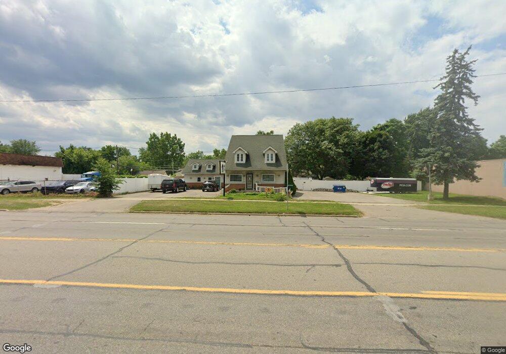
8645 N Middlebelt Rd Westland, MI 48185
Estimated Value: $61,000 - $371,000
--
Bed
1
Bath
840
Sq Ft
$246/Sq Ft
Est. Value
About This Home
This home is located at 8645 N Middlebelt Rd, Westland, MI 48185 and is currently estimated at $207,000, approximately $246 per square foot. 8645 N Middlebelt Rd is a home located in Wayne County with nearby schools including Cleveland Elementary School, Emerson Middle School, and Cooper Upper Elementary School.
Ownership History
Date
Name
Owned For
Owner Type
Purchase Details
Closed on
Aug 19, 2021
Sold by
Annlil Properties Llc
Bought by
Viviano Laurie
Current Estimated Value
Purchase Details
Closed on
Jun 16, 2009
Sold by
Lin Properties Llc
Bought by
Ann Lil Properties Llc
Purchase Details
Closed on
Jul 1, 2003
Sold by
Wilson Eugene F and Wilson Shelley Ann Rohn
Bought by
Lin Properties Llc
Home Financials for this Owner
Home Financials are based on the most recent Mortgage that was taken out on this home.
Original Mortgage
$615,000
Interest Rate
5.47%
Mortgage Type
Purchase Money Mortgage
Create a Home Valuation Report for This Property
The Home Valuation Report is an in-depth analysis detailing your home's value as well as a comparison with similar homes in the area
Home Values in the Area
Average Home Value in this Area
Purchase History
| Date | Buyer | Sale Price | Title Company |
|---|---|---|---|
| Viviano Laurie | $270,000 | Embassy Title Agency Inc | |
| Ann Lil Properties Llc | -- | Minnesota Title Agency | |
| Lin Properties Llc | $300,000 | Lawyers Title Insurance Co |
Source: Public Records
Mortgage History
| Date | Status | Borrower | Loan Amount |
|---|---|---|---|
| Previous Owner | Lin Properties Llc | $615,000 |
Source: Public Records
Tax History Compared to Growth
Tax History
| Year | Tax Paid | Tax Assessment Tax Assessment Total Assessment is a certain percentage of the fair market value that is determined by local assessors to be the total taxable value of land and additions on the property. | Land | Improvement |
|---|---|---|---|---|
| 2025 | $573 | $12,600 | $0 | $0 |
| 2024 | $573 | $12,600 | $0 | $0 |
| 2023 | $547 | $11,700 | $0 | $0 |
| 2022 | $769 | $10,400 | $0 | $0 |
| 2021 | $430 | $9,000 | $0 | $0 |
| 2020 | $423 | $8,100 | $0 | $0 |
| 2019 | $400 | $7,200 | $0 | $0 |
| 2018 | $286 | $7,200 | $0 | $0 |
| 2017 | $201 | $7,200 | $0 | $0 |
| 2016 | $386 | $7,200 | $0 | $0 |
| 2015 | $567 | $5,760 | $0 | $0 |
| 2013 | $558 | $5,580 | $0 | $0 |
| 2012 | $516 | $5,580 | $0 | $0 |
Source: Public Records
Map
Nearby Homes
- 8618 Beatrice
- 8938 Hugh St
- 8411 Hugh St
- 8483 Beatrice
- 29000 Joy Rd
- 8309 Hugh St
- 9066 Newport Way Unit 11
- 9081 Louise St
- 29156 Manchester St
- 8139 Bristol St Unit 170
- 29248 Manchester St
- 29047 Manchester St Unit 83
- 28926 Ann Arbor Trail
- 29069 Grandon Ave
- 8037 Beatrice
- 8177 Gary Ave
- 0000 N Middlebelt Rd
- 8157 Gary Ave
- 30055 Grandon St
- 8148 Randy Dr
- 8645 N Middlebelt Rd
- 8645 N Middlebelt Rd
- 8648 Fremont St
- 8640 Fremont St
- 8710 Fremont St
- 8732 Fremont St
- 8632 Fremont St
- 8624 Fremont St
- 29445 Joy Rd
- 8620 Fremont St
- 8701 Fremont St
- 8649 Fremont St
- 8711 Fremont St
- 8629 Fremont St
- 8733 Fremont St
- 8653 Lanewood St
- 8757 Fremont St
- 8619 Fremont St
- 8612 Fremont St
- 8701 Lanewood St