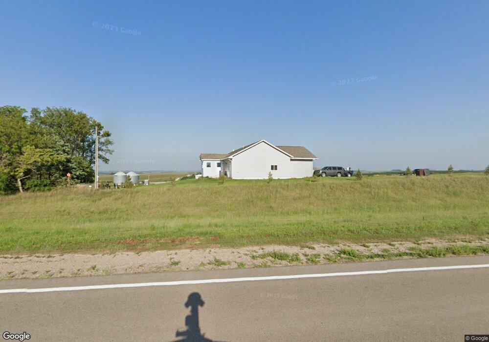
86486 Highway 15 Laurel, NE 68745
Estimated Value: $371,580
5
Beds
4
Baths
1,722
Sq Ft
$216/Sq Ft
Est. Value
About This Home
This home is located at 86486 Highway 15, Laurel, NE 68745 and is currently estimated at $371,580, approximately $215 per square foot. 86486 Highway 15 is a home with nearby schools including Laurel-Concord-Coleridge Elementary School, Laurel-Concord-Coleridge Middle School, and Laurel-Concord-Coleridge High School.
Create a Home Valuation Report for This Property
The Home Valuation Report is an in-depth analysis detailing your home's value as well as a comparison with similar homes in the area
Home Values in the Area
Average Home Value in this Area
Tax History Compared to Growth
Tax History
| Year | Tax Paid | Tax Assessment Tax Assessment Total Assessment is a certain percentage of the fair market value that is determined by local assessors to be the total taxable value of land and additions on the property. | Land | Improvement |
|---|---|---|---|---|
| 2024 | $2,622 | $301,150 | $27,000 | $274,150 |
| 2023 | $3,445 | $296,150 | $22,000 | $274,150 |
| 2022 | $3,384 | $267,835 | $22,000 | $245,835 |
| 2021 | $2,977 | $233,870 | $21,000 | $212,870 |
| 2020 | $2,606 | $228,870 | $16,000 | $212,870 |
| 2019 | $2,548 | $228,870 | $16,000 | $212,870 |
| 2018 | $2,202 | $206,875 | $16,000 | $190,875 |
| 2017 | $2,114 | $206,425 | $15,550 | $190,875 |
| 2016 | $112 | $12,050 | $12,050 | $0 |
| 2015 | $20 | $1,920 | $1,920 | $0 |
Source: Public Records
Map
Nearby Homes
- 0 577 Ave at 864 Rd Unit NOC6327682
- 812 Oak St
- 702 Cedar Ave
- 701 Elm St
- 000 870 Rd
- Jensen Farm Highway 20
- 86904 569th Ave
- 86904 569 Ave
- 1100 Angel Ave
- 422 Lincoln St
- 408 Logan St
- 220 W 4th St
- 418 S Clark St
- 87360 State Highway 15
- 87360 State Hwy 15
- 708 2nd St
- 511 W 4th St
- 302 Johnson St
- 110 E 7th St
- 1402 Main St