8649 Roundup Dr Show Low, AZ 85901
Estimated Value: $378,000
3
Beds
2
Baths
1,344
Sq Ft
$281/Sq Ft
Est. Value
About This Home
This home is located at 8649 Roundup Dr, Show Low, AZ 85901 and is currently estimated at $378,000, approximately $281 per square foot. 8649 Roundup Dr is a home located in Navajo County with nearby schools including Whipple Ranch Elementary School, Show Low High School, and Show Low Junior High School.
Ownership History
Date
Name
Owned For
Owner Type
Purchase Details
Closed on
Mar 14, 2024
Sold by
Schmid Properties Trust
Bought by
Roundup Properties Llc
Current Estimated Value
Purchase Details
Closed on
Sep 11, 2018
Sold by
Johnson Bradley
Bought by
Schmid Lawrence and Schmid Properties Trust
Purchase Details
Closed on
May 19, 2011
Sold by
Fannie Mae
Bought by
Johnson Bradley
Purchase Details
Closed on
Feb 17, 2011
Sold by
Deay Judy and Deay David
Bought by
Federal National Mortgage Association
Purchase Details
Closed on
Jul 25, 2007
Sold by
Deay David E and Deay Davie E
Bought by
Deay David E and Deay Judy
Home Financials for this Owner
Home Financials are based on the most recent Mortgage that was taken out on this home.
Original Mortgage
$78,000
Interest Rate
6.74%
Mortgage Type
New Conventional
Create a Home Valuation Report for This Property
The Home Valuation Report is an in-depth analysis detailing your home's value as well as a comparison with similar homes in the area
Purchase History
| Date | Buyer | Sale Price | Title Company |
|---|---|---|---|
| Roundup Properties Llc | -- | None Listed On Document | |
| Schmid Lawrence | $57,500 | Lawyers Title Of Arizona Inc | |
| Johnson Bradley | $35,200 | Old Republic Title Agency | |
| Federal National Mortgage Association | $76,355 | None Available | |
| Deay David E | -- | Landamerica Transnation Titl |
Source: Public Records
Mortgage History
| Date | Status | Borrower | Loan Amount |
|---|---|---|---|
| Previous Owner | Deay David E | $78,000 |
Source: Public Records
Tax History
| Year | Tax Paid | Tax Assessment Tax Assessment Total Assessment is a certain percentage of the fair market value that is determined by local assessors to be the total taxable value of land and additions on the property. | Land | Improvement |
|---|---|---|---|---|
| 2026 | $1,313 | -- | -- | -- |
| 2025 | $362 | $35,052 | $6,071 | $28,981 |
| 2024 | $362 | $31,772 | $5,175 | $26,597 |
| 2023 | $362 | $3,505 | $3,000 | $505 |
| 2022 | $343 | $0 | $0 | $0 |
| 2021 | $343 | $0 | $0 | $0 |
| 2020 | $322 | $0 | $0 | $0 |
| 2019 | $387 | $0 | $0 | $0 |
| 2018 | $554 | $0 | $0 | $0 |
| 2017 | $545 | $0 | $0 | $0 |
| 2016 | $471 | $0 | $0 | $0 |
| 2015 | $461 | $4,683 | $2,400 | $2,283 |
Source: Public Records
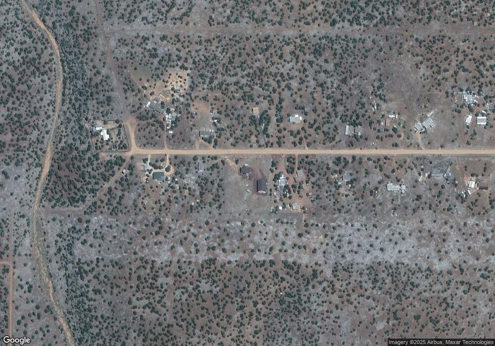
Map
Nearby Homes
- 8594 Bobcat Dr
- 8594 Bobcat Dr Unit 1
- 1282 Brook Trout Dr
- 8767 Andrea Place
- 8795 Luana Dr
- 8795 Luana Dr Unit 125
- 8795 Luana Drive Unit: 125
- 8850 Happy Trail
- 8578 Turkey Dr Unit Show Low AZ 85901
- 8525 Quail Run Dr
- 1595 Bourdon Ranch Rd
- 8518 Red Fox Ln
- 8579 Antelope Dr
- 0 Silver Lake Blvd 16 32 Acres
- TBD Silver Lake Blvd 16 32 Acres -- Unit L & N
- 8624 Silver Creek Dr
- 8575 Silver Creek Drive Unit: 109
- 1769 Thorn Place
- 8716 Cox Dr
- 8650 Carr Cir Unit 306
- 8585 Roundup Dr
- 8642 Roundup Dr
- 8642 Roundup Dr
- 8654 Roundup Dr
- 8666 Roundup Dr
- 8698 Roundup Dr
- 8673 Roundup Dr
- 8678 Roundup Dr
- 8630 Roundup Dr
- 8685 Roundup Dr
- 8690 Roundup Dr
- 8697 Roundup Dr
- 8702 Roundup Dr
- 8594 Kaibab Ln
- 8733 Roundup Dr
- 8583 Bobcat Dr
- 8738 Roundup Dr
- 8577 Bobcat Dr
- 8745 Roundup Dr
- 1473 Silver Lake Blvd
Your Personal Tour Guide
Ask me questions while you tour the home.