Estimated Value: $50,797 - $75,000
2
Beds
1
Bath
580
Sq Ft
$109/Sq Ft
Est. Value
About This Home
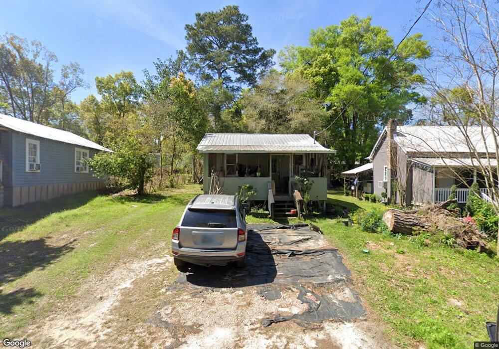
This home is located at 865 12th St NE, Cairo, GA 39828 and is currently estimated at $63,449, approximately $109 per square foot. 865 12th St NE is a home located in Grady County with nearby schools including Cairo High School.
Ownership History
Date
Name
Owned For
Owner Type
Purchase Details
Closed on
Apr 4, 2012
Sold by
Heaberlin Rodger
Bought by
Dickenson Steve
Current Estimated Value
Purchase Details
Closed on
Apr 11, 2007
Sold by
Dykes Robert
Bought by
Heaberlin Rodger
Home Financials for this Owner
Home Financials are based on the most recent Mortgage that was taken out on this home.
Original Mortgage
$17,182
Interest Rate
6.1%
Mortgage Type
New Conventional
Purchase Details
Closed on
Jul 18, 2003
Sold by
Lowe Fred A
Bought by
Sholar Robbie
Purchase Details
Closed on
Jan 6, 1978
Sold by
Lowe Fred A
Bought by
Lowe Fred A
Create a Home Valuation Report for This Property
The Home Valuation Report is an in-depth analysis detailing your home's value as well as a comparison with similar homes in the area
Purchase History
| Date | Buyer | Sale Price | Title Company |
|---|---|---|---|
| Dickenson Steve | $2,000 | -- | |
| Heaberlin Rodger | $16,500 | -- | |
| Sholar Robbie | -- | -- | |
| Lowe Fred A | -- | -- |
Source: Public Records
Mortgage History
| Date | Status | Borrower | Loan Amount |
|---|---|---|---|
| Previous Owner | Heaberlin Rodger | $17,182 |
Source: Public Records
Tax History
| Year | Tax Paid | Tax Assessment Tax Assessment Total Assessment is a certain percentage of the fair market value that is determined by local assessors to be the total taxable value of land and additions on the property. | Land | Improvement |
|---|---|---|---|---|
| 2025 | $379 | $12,598 | $960 | $11,638 |
| 2024 | $379 | $11,392 | $960 | $10,432 |
| 2023 | $412 | $11,144 | $656 | $10,488 |
| 2022 | $429 | $11,144 | $656 | $10,488 |
| 2021 | $430 | $11,144 | $656 | $10,488 |
| 2020 | $431 | $11,144 | $656 | $10,488 |
| 2019 | $431 | $11,144 | $656 | $10,488 |
| 2018 | $410 | $11,144 | $656 | $10,488 |
| 2017 | $394 | $11,144 | $656 | $10,488 |
| 2016 | $330 | $9,130 | $656 | $8,474 |
| 2015 | $327 | $9,130 | $656 | $8,474 |
| 2014 | $348 | $9,700 | $656 | $9,044 |
| 2013 | -- | $5,028 | $656 | $4,372 |
Source: Public Records
Map
Nearby Homes
- 853 12th St NE
- 875 12th St NE
- 852 11th St NE
- 1238 Tired Creek Blvd
- 1190 Tired Creek Blvd
- 1177 8th Ave NE
- 1105 8th Ave NE
- 802 8th Ave NE
- 843 11th St NE
- 1102 8th Ave NE
- 1089 8th Ave NE
- 1193 Tired Creek Blvd
- 1291 Tired Creek Blvd
- 0 Tired Creek Rd
- 851 11th St NE
- 1098 Park Blvd
- 1103 Park Blvd
- 1019 8th Ave NE
- 1001 13th St NE
- 1185 Park Blvd
Your Personal Tour Guide
Ask me questions while you tour the home.