865 Alexander St Brockway, PA 15824
Estimated Value: $117,000 - $154,000
--
Bed
--
Bath
992
Sq Ft
$133/Sq Ft
Est. Value
About This Home
This home is located at 865 Alexander St, Brockway, PA 15824 and is currently estimated at $131,955, approximately $133 per square foot. 865 Alexander St is a home located in Jefferson County with nearby schools including Brockway Area Elementary School, Brockway Area Junior/Senior High School, and Hillside School.
Ownership History
Date
Name
Owned For
Owner Type
Purchase Details
Closed on
Jul 18, 2011
Sold by
Esposito Francis J and Esposito John H
Bought by
Esposito Francis J and Esposito Thomas Edward
Current Estimated Value
Purchase Details
Closed on
Jan 6, 2010
Sold by
Benson Gerald
Bought by
Esposito Patricia J
Purchase Details
Closed on
May 14, 2008
Sold by
Esposito Francis J
Bought by
Esposito Francis J and Esposito Thomas Edward
Create a Home Valuation Report for This Property
The Home Valuation Report is an in-depth analysis detailing your home's value as well as a comparison with similar homes in the area
Home Values in the Area
Average Home Value in this Area
Purchase History
| Date | Buyer | Sale Price | Title Company |
|---|---|---|---|
| Esposito Francis J | -- | None Available | |
| Esposito Patricia J | -- | None Available | |
| Esposito Francis J | $50,000 | None Available |
Source: Public Records
Tax History Compared to Growth
Tax History
| Year | Tax Paid | Tax Assessment Tax Assessment Total Assessment is a certain percentage of the fair market value that is determined by local assessors to be the total taxable value of land and additions on the property. | Land | Improvement |
|---|---|---|---|---|
| 2025 | $1,931 | $40,770 | $4,470 | $36,300 |
| 2024 | $2,203 | $40,770 | $4,470 | $36,300 |
| 2023 | $1,890 | $40,770 | $4,470 | $36,300 |
| 2022 | $1,890 | $40,770 | $4,470 | $36,300 |
| 2021 | $1,890 | $40,770 | $4,470 | $36,300 |
| 2020 | $1,890 | $40,770 | $4,470 | $36,300 |
| 2019 | $1,823 | $40,770 | $4,470 | $36,300 |
| 2018 | $1,744 | $40,770 | $4,470 | $36,300 |
| 2017 | $1,722 | $40,770 | $4,470 | $36,300 |
| 2016 | $1,554 | $40,770 | $4,470 | $36,300 |
| 2015 | -- | $40,770 | $4,470 | $36,300 |
| 2012 | -- | $40,770 | $4,470 | $36,300 |
Source: Public Records
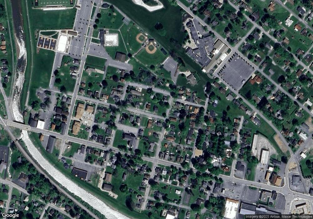
Map
Nearby Homes
- 1074 10th Ave
- 1549 Main St
- 924 Elm St
- 0 U S 219
- 970 Baghdad Rd
- 19 Salandra Ln
- 7956 U S 219
- 425 Zuccolotto Ln
- 1083 Rattlesnake Rd
- 101 Howard Rd
- 5850 U S 219
- 5546 Stevenson Hill Rd
- 390 Galliot Ct
- 636 Cap Haitien Rd
- 0 Cap Haitien Rd Unit SEC 17 LOT 14
- 3585 Shawmut Rd
- Section 14 Lot 24 Port-Au-prince Rd
- 14 Port-Au-prince Rd
- 13 Cap Haitien Rd
- 0 Coal Glen Rd