865 E Davis Rd Howell, MI 48843
Estimated Value: $401,321 - $451,000
Studio
--
Bath
1,934
Sq Ft
$220/Sq Ft
Est. Value
About This Home
This home is located at 865 E Davis Rd, Howell, MI 48843 and is currently estimated at $425,330, approximately $219 per square foot. 865 E Davis Rd is a home located in Livingston County with nearby schools including Parker Middle School and Howell High School.
Ownership History
Date
Name
Owned For
Owner Type
Purchase Details
Closed on
Feb 27, 2020
Sold by
Johnson Katherine E
Bought by
Johnson Beler J and Johnson Katherine E
Current Estimated Value
Purchase Details
Closed on
Feb 16, 2012
Sold by
Elwell Katherine and Elwell Marlene
Bought by
Elwell Katherine
Purchase Details
Closed on
Aug 16, 2011
Sold by
Elwell Katherine
Bought by
Elwell Katherine and Elwell Marlene
Purchase Details
Closed on
Sep 29, 1995
Sold by
Roose James J
Bought by
Smith Kevin
Home Financials for this Owner
Home Financials are based on the most recent Mortgage that was taken out on this home.
Original Mortgage
$142,400
Interest Rate
8%
Mortgage Type
New Conventional
Create a Home Valuation Report for This Property
The Home Valuation Report is an in-depth analysis detailing your home's value as well as a comparison with similar homes in the area
Home Values in the Area
Average Home Value in this Area
Purchase History
| Date | Buyer | Sale Price | Title Company |
|---|---|---|---|
| Johnson Beler J | -- | None Listed On Document | |
| Elwell Katherine | -- | -- | |
| Elwell Katherine | -- | -- | |
| Smith Kevin | $149,900 | -- |
Source: Public Records
Mortgage History
| Date | Status | Borrower | Loan Amount |
|---|---|---|---|
| Previous Owner | Smith Kevin | $142,400 |
Source: Public Records
Tax History
| Year | Tax Paid | Tax Assessment Tax Assessment Total Assessment is a certain percentage of the fair market value that is determined by local assessors to be the total taxable value of land and additions on the property. | Land | Improvement |
|---|---|---|---|---|
| 2025 | $1,684 | $177,800 | $0 | $0 |
| 2024 | $1,636 | $148,800 | $0 | $0 |
| 2023 | $1,428 | $129,800 | $0 | $0 |
| 2022 | $1,913 | $121,800 | $0 | $0 |
| 2021 | $1,865 | $121,800 | $0 | $0 |
| 2020 | $1,902 | $120,100 | $0 | $0 |
| 2019 | $1,873 | $115,700 | $0 | $0 |
| 2018 | $1,850 | $105,200 | $0 | $0 |
| 2017 | $1,826 | $112,300 | $0 | $0 |
| 2016 | $1,816 | $105,800 | $0 | $0 |
| 2014 | $1,621 | $85,300 | $0 | $0 |
| 2012 | $1,621 | $73,300 | $0 | $0 |
Source: Public Records
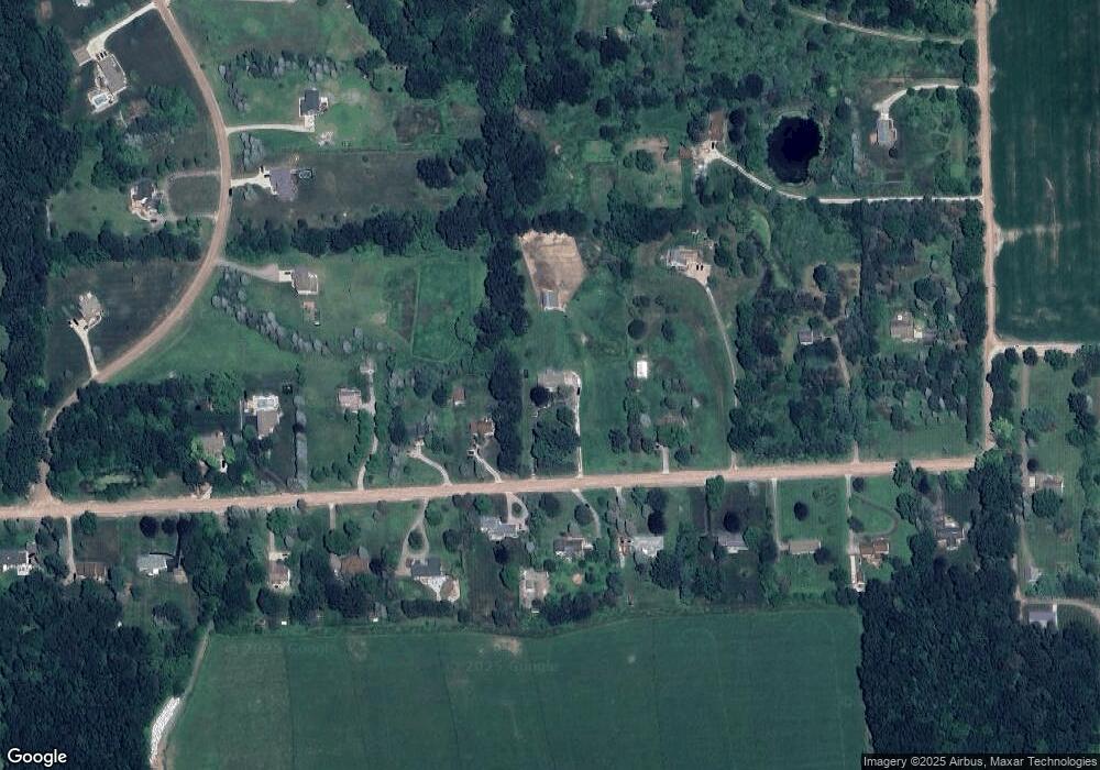
Map
Nearby Homes
- 0000 Crooked Lake Rd
- 3530 Kipling Cir
- 513 Round Rock Dr
- MOH 78 Round Rock Dr
- LOT 73 Round Rock
- 340 Mcdowell Dr
- 331 Mcdowell Dr
- 652 Round Rock Dr
- 2315 Gilder Dr
- The Dunes Plan at Marion Oaks - The Links
- The Arcadia Plan at Marion Oaks - The Links
- The Bear Plan at Marion Oaks - The Links
- 2298 Gilder Dr
- 2324 Gilder Dr
- 2288 Gilder Dr
- 2323 Gilder Dr
- 659 Round Rock Dr
- 676 Round Rock Dr
- 677 Round Rock Dr
- 601 Birkdale Dr (Moh 45)
- 957 E Davis Rd
- 843 E Davis Rd
- 1039 E Davis Rd
- 2883 Harvest Dr
- 2871 Harvest Dr
- 827 E Davis Rd
- 825 E Davis Rd
- 2877 Harvest Dr
- 840 E Davis Rd
- 2900 Fisk Rd
- 2817 Harvest Dr
- 950 E Davis Rd
- 990 E Davis Rd
- 2882 Fisk Rd
- 820 E Davis Rd
- 1049 E Davis Rd
- 1038 E Davis Rd
- 723 E Davis Rd
- 800 E Davis Rd
- 1088 E Davis Rd
Your Personal Tour Guide
Ask me questions while you tour the home.