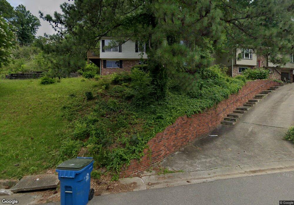
865 Forrest Dr Homewood, AL 35209
Estimated Value: $831,000 - $909,000
3
Beds
1
Bath
2,474
Sq Ft
$352/Sq Ft
Est. Value
About This Home
This home is located at 865 Forrest Dr, Homewood, AL 35209 and is currently estimated at $869,766, approximately $351 per square foot. 865 Forrest Dr is a home located in Jefferson County with nearby schools including Edgewood Elementary School, Homewood Middle School, and Homewood High School.
Ownership History
Date
Name
Owned For
Owner Type
Purchase Details
Closed on
Jan 8, 2014
Sold by
Forbus Brett H
Bought by
Williams G Coke and Williams Kelly Kitchens
Current Estimated Value
Home Financials for this Owner
Home Financials are based on the most recent Mortgage that was taken out on this home.
Original Mortgage
$204,000
Interest Rate
4.48%
Mortgage Type
New Conventional
Purchase Details
Closed on
Sep 30, 2009
Sold by
Forbus Brett H
Bought by
Forbus Brett H and Coke Williams G
Home Financials for this Owner
Home Financials are based on the most recent Mortgage that was taken out on this home.
Original Mortgage
$220,400
Interest Rate
5.25%
Mortgage Type
New Conventional
Purchase Details
Closed on
Jun 24, 2009
Sold by
Dobbs Mell James
Bought by
Forbus Brett H
Create a Home Valuation Report for This Property
The Home Valuation Report is an in-depth analysis detailing your home's value as well as a comparison with similar homes in the area
Home Values in the Area
Average Home Value in this Area
Purchase History
| Date | Buyer | Sale Price | Title Company |
|---|---|---|---|
| Williams G Coke | -- | -- | |
| Forbus Brett H | $500 | None Available | |
| Forbus Brett H | $212,000 | None Available |
Source: Public Records
Mortgage History
| Date | Status | Borrower | Loan Amount |
|---|---|---|---|
| Previous Owner | Williams G Coke | $204,000 | |
| Previous Owner | Forbus Brett H | $220,400 |
Source: Public Records
Tax History Compared to Growth
Tax History
| Year | Tax Paid | Tax Assessment Tax Assessment Total Assessment is a certain percentage of the fair market value that is determined by local assessors to be the total taxable value of land and additions on the property. | Land | Improvement |
|---|---|---|---|---|
| 2024 | $4,932 | $66,700 | -- | -- |
| 2022 | $4,800 | $64,930 | $33,500 | $31,430 |
| 2021 | $4,203 | $56,980 | $33,500 | $23,480 |
| 2020 | $4,005 | $54,330 | $33,500 | $20,830 |
| 2019 | $3,862 | $52,440 | $0 | $0 |
| 2018 | $3,620 | $49,220 | $0 | $0 |
| 2017 | $3,517 | $47,840 | $0 | $0 |
| 2016 | $3,133 | $42,720 | $0 | $0 |
| 2015 | $3,133 | $42,720 | $0 | $0 |
| 2014 | $1,697 | $34,360 | $0 | $0 |
| 2013 | $1,697 | $23,500 | $0 | $0 |
Source: Public Records
Map
Nearby Homes
- 112 Crest Dr
- 115 Crest Dr
- 590 Forrest Dr S
- 802 Wingate Cir
- 413 Berry Ave
- 825 Sylvia Dr
- 803 Acton Ave
- 100 Acton Ave
- 1307 Roseland Dr
- 328 Redfern St
- 213 Edgeview Ave Unit 10A
- 844 Acton Ave
- 211 Saint Charles St
- 831 Columbiana Rd
- 74 Parkway Dr
- 1040 Broadway Park Unit 323
- 1040 Broadway Park Unit 306
- 1640 Ridge Rd
- 401 Woodvale Ln
- 1513 Oxmoor Rd
- 865 Forrest Dr
- 869 Forrest Dr
- 869 Forest Dr
- 857 Forrest Dr
- 853 Forrest Dr
- 529 Broadway St
- 862 Forest Dr
- 527 Broadway St
- 531 Broadway St
- 873 Forrest Dr
- 862 Forrest Dr
- 849 Forrest Dr
- 525 Broadway St
- 862 Forrest Dr
- 533 Broadway St
- 523 Broadway St
- 858 Forrest Dr
- 535 Broadway St
- 845 Forrest Dr
- 521 Broadway St