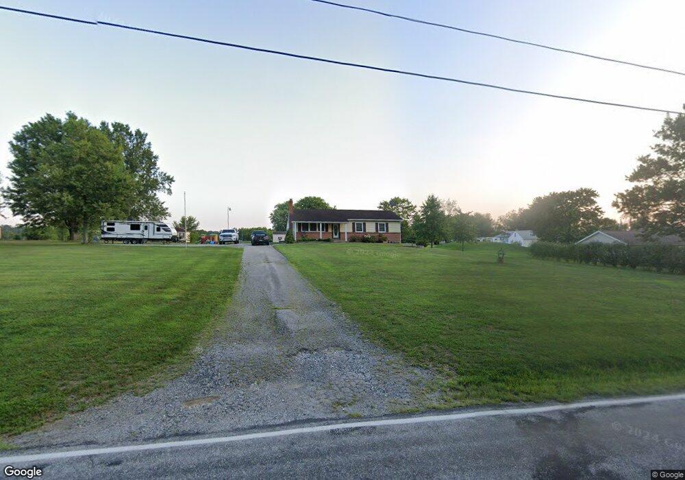
865 Georgetown Rd Unit 1 Littlestown, PA 17340
Estimated Value: $293,804 - $363,000
3
Beds
2
Baths
1,232
Sq Ft
$266/Sq Ft
Est. Value
About This Home
This home is located at 865 Georgetown Rd Unit 1, Littlestown, PA 17340 and is currently estimated at $327,951, approximately $266 per square foot. 865 Georgetown Rd Unit 1 is a home located in Adams County with nearby schools including Rolling Acres El School, Maple Avenue Middle School, and Littlestown Senior High School.
Ownership History
Date
Name
Owned For
Owner Type
Purchase Details
Closed on
Apr 12, 2002
Bought by
Simmons David D and Simmons Barbara J
Current Estimated Value
Create a Home Valuation Report for This Property
The Home Valuation Report is an in-depth analysis detailing your home's value as well as a comparison with similar homes in the area
Home Values in the Area
Average Home Value in this Area
Purchase History
| Date | Buyer | Sale Price | Title Company |
|---|---|---|---|
| Simmons David D | $129,900 | -- |
Source: Public Records
Tax History
| Year | Tax Paid | Tax Assessment Tax Assessment Total Assessment is a certain percentage of the fair market value that is determined by local assessors to be the total taxable value of land and additions on the property. | Land | Improvement |
|---|---|---|---|---|
| 2025 | $3,835 | $202,600 | $61,100 | $141,500 |
| 2024 | $3,686 | $202,600 | $61,100 | $141,500 |
| 2023 | $3,593 | $202,600 | $61,100 | $141,500 |
| 2022 | $3,567 | $202,600 | $61,100 | $141,500 |
| 2021 | $3,440 | $202,600 | $61,100 | $141,500 |
| 2020 | $3,390 | $202,600 | $61,100 | $141,500 |
| 2019 | $3,318 | $202,600 | $61,100 | $141,500 |
| 2018 | $3,219 | $202,600 | $61,100 | $141,500 |
| 2017 | $3,118 | $202,600 | $61,100 | $141,500 |
| 2016 | -- | $202,600 | $61,100 | $141,500 |
| 2015 | -- | $202,600 | $61,100 | $141,500 |
| 2014 | -- | $202,600 | $61,100 | $141,500 |
Source: Public Records
Map
Nearby Homes
- 15 Yorktowne Ct Unit 97
- 11 Yorktowne Ct Unit 96
- 14 Revere Ct Unit 71
- 6120 Baltimore Pike
- 2100 Blacks School House Rd
- 484 S Columbus Ave Unit 19
- 161 Cemetery St
- 230 M St
- 22 Cemetery St
- 144 W King St
- 141 W King St
- 117 Charles St
- 115 Charles St
- 1024 Frederick Pike Unit 6
- 1002 Frederick Pike Unit 4
- 149 W Myrtle St
- 72 Patrick Ave
- 720 W Myrtle St Unit 14
- 102 N Queen St
- 20 Stedtle Ave
- 845 Georgetown Rd Unit 3
- 850 Georgetown Rd
- 890 Georgetown Rd Unit 2
- 825 Georgetown Rd
- 841 Georgetown Rd
- 919 Georgetown Rd
- 791 Georgetown Rd
- 820 Georgetown Rd Unit 1
- 839 Georgetown Rd
- 772 Georgetown Rd
- 765 Georgetown Rd
- 737 Georgetown Rd
- 5120 Haines Ln
- 810 Georgetown Rd Unit 2
- 721 Georgetown Rd
- 5128 Haines Ln
- 5144 Haines Ln
- 5130 Haines Ln
- 5136 Haines Ln
- 716 Georgetown Rd
Your Personal Tour Guide
Ask me questions while you tour the home.