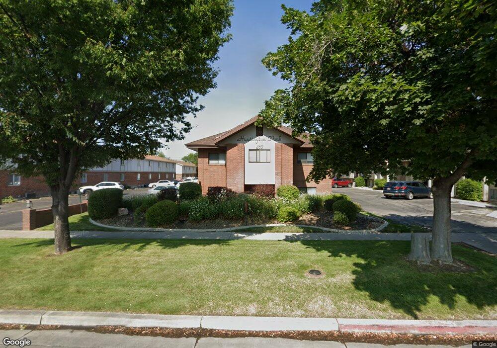
865 N 500 W Unit 9 Provo, UT 84604
Rivergrove NeighborhoodEstimated Value: $272,345 - $352,000
3
Beds
2
Baths
991
Sq Ft
$301/Sq Ft
Est. Value
About This Home
This home is located at 865 N 500 W Unit 9, Provo, UT 84604 and is currently estimated at $298,586, approximately $301 per square foot. 865 N 500 W Unit 9 is a home located in Utah County with nearby schools including Timpanogos Elementary School, Dixon Middle School, and Provo High School.
Ownership History
Date
Name
Owned For
Owner Type
Purchase Details
Closed on
Jan 26, 2016
Sold by
Dunning Dunning T and Dunning Katherine M
Bought by
Aidurn Llc
Current Estimated Value
Purchase Details
Closed on
Sep 30, 2015
Sold by
Kwong Gloria
Bought by
Dunning T Mark and Dunning Katherine M
Home Financials for this Owner
Home Financials are based on the most recent Mortgage that was taken out on this home.
Original Mortgage
$104,850
Interest Rate
3.85%
Mortgage Type
New Conventional
Purchase Details
Closed on
Aug 14, 2007
Sold by
Favero Sean and Favero Alys
Bought by
Kwong Gloria
Purchase Details
Closed on
May 10, 2004
Sold by
Sedlak Carl M and Sedlak Gwen S
Bought by
Favero Sean and Favero Alys
Home Financials for this Owner
Home Financials are based on the most recent Mortgage that was taken out on this home.
Original Mortgage
$95,600
Interest Rate
3.87%
Mortgage Type
Purchase Money Mortgage
Create a Home Valuation Report for This Property
The Home Valuation Report is an in-depth analysis detailing your home's value as well as a comparison with similar homes in the area
Home Values in the Area
Average Home Value in this Area
Purchase History
| Date | Buyer | Sale Price | Title Company |
|---|---|---|---|
| Aidurn Llc | -- | None Available | |
| Dunning T Mark | -- | Morgan Title & Escrow Inc | |
| Kwong Gloria | -- | Provo Land Title Company | |
| Favero Sean | -- | First American Title Insuran |
Source: Public Records
Mortgage History
| Date | Status | Borrower | Loan Amount |
|---|---|---|---|
| Previous Owner | Dunning T Mark | $104,850 | |
| Previous Owner | Favero Sean | $95,600 |
Source: Public Records
Tax History Compared to Growth
Tax History
| Year | Tax Paid | Tax Assessment Tax Assessment Total Assessment is a certain percentage of the fair market value that is determined by local assessors to be the total taxable value of land and additions on the property. | Land | Improvement |
|---|---|---|---|---|
| 2025 | $1,379 | $139,370 | $28,200 | $225,200 |
| 2024 | $1,379 | $135,740 | $0 | $0 |
| 2023 | $1,357 | $131,670 | $0 | $0 |
| 2022 | $1,458 | $142,670 | $0 | $0 |
| 2021 | $1,226 | $209,200 | $25,100 | $184,100 |
| 2020 | $1,209 | $193,400 | $23,200 | $170,200 |
| 2019 | $1,052 | $175,000 | $22,800 | $152,200 |
| 2018 | $920 | $155,300 | $17,900 | $137,400 |
| 2017 | $921 | $85,415 | $0 | $0 |
| 2016 | $859 | $74,250 | $0 | $0 |
| 2015 | $730 | $63,800 | $0 | $0 |
| 2014 | $701 | $63,800 | $0 | $0 |
Source: Public Records
Map
Nearby Homes
- 865 N 500 W Unit 15
- 865 N 500 W Unit 14
- 865 N 500 W Unit 13
- 865 N 500 W Unit 12
- 865 N 500 W
- 865 N 500 W
- 865 N 500 W
- 865 N 500 W
- 865 N 500 W
- 865 N 500 W Unit 5
- 865 N 500 W
- 865 N 500 W
- 865 N 500 W
- 865 N 500 W Unit 1
- 865 N 500 W Unit 16
- 865 N 500 W Unit 10
- 865 N 500 W Unit 11
- 865 N 500 W Unit 7
- 865 N 500 W Unit 8
- 865 N 500 W Unit 2