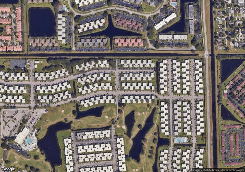
865 Normandy S Unit 8650 Delray Beach, FL 33484
Kings Point NeighborhoodEstimated Value: $98,000 - $216,000
2
Beds
2
Baths
883
Sq Ft
$151/Sq Ft
Est. Value
About This Home
This home is located at 865 Normandy S Unit 8650, Delray Beach, FL 33484 and is currently estimated at $133,164, approximately $150 per square foot. 865 Normandy S Unit 8650 is a home located in Palm Beach County with nearby schools including Orchard View Elementary School, Spanish River Community High School, and Carver Middle School.
Ownership History
Date
Name
Owned For
Owner Type
Purchase Details
Closed on
Aug 26, 2024
Sold by
Amrani Emanuel and Itzcowitz Eden
Bought by
Amrani Emanuel and Itzcowitz Eden
Current Estimated Value
Purchase Details
Closed on
Jul 5, 2011
Sold by
Fortier Rachel and Amrani Emanuel
Bought by
Amrani Emanuel
Purchase Details
Closed on
Nov 11, 2009
Sold by
Schwimmer Beverly and Estate Of Jean Weiss
Bought by
Amrani Joan
Purchase Details
Closed on
Nov 10, 2009
Sold by
Weiss Richard B and Moss Phyllis
Bought by
Amrani Joan
Purchase Details
Closed on
Aug 4, 2000
Sold by
Kriegel Gisele M
Bought by
Weiss Jean
Create a Home Valuation Report for This Property
The Home Valuation Report is an in-depth analysis detailing your home's value as well as a comparison with similar homes in the area
Home Values in the Area
Average Home Value in this Area
Purchase History
| Date | Buyer | Sale Price | Title Company |
|---|---|---|---|
| Amrani Emanuel | -- | None Listed On Document | |
| Amrani Emanuel | $15,500 | Seacrest Title Company | |
| Amrani Joan | $31,000 | Seacrest Title Company | |
| Amrani Joan | -- | Seacrest Title Company | |
| Weiss Jean | $36,500 | -- |
Source: Public Records
Tax History Compared to Growth
Tax History
| Year | Tax Paid | Tax Assessment Tax Assessment Total Assessment is a certain percentage of the fair market value that is determined by local assessors to be the total taxable value of land and additions on the property. | Land | Improvement |
|---|---|---|---|---|
| 2024 | $283 | $33,624 | -- | -- |
| 2023 | $268 | $32,645 | $0 | $0 |
| 2022 | $259 | $31,694 | $0 | $0 |
| 2021 | $237 | $30,771 | $0 | $0 |
| 2020 | $229 | $30,346 | $0 | $0 |
| 2019 | $230 | $29,664 | $0 | $0 |
| 2018 | $247 | $29,111 | $0 | $0 |
| 2017 | $233 | $28,512 | $0 | $0 |
| 2016 | $231 | $27,926 | $0 | $0 |
| 2015 | $254 | $27,732 | $0 | $0 |
| 2014 | $277 | $27,512 | $0 | $0 |
Source: Public Records
Map
Nearby Homes
- 880 Normandy S
- 883 Normandy S Unit 8830
- 944 Normandy Trail Unit T
- 938 Normandy T Unit 9380
- 545 Normandy L Unit 545
- 298 Burgundy G
- 296 Burgundy G
- 501 Normandy K
- 502 Normandy K Unit 5020
- 521 Normandy K
- 508 Normandy K
- 864 Normandy Trail Unit R
- 303 Burgundy G
- 862 Normandy R
- 310 Burgundy G
- 341 Burgundy H Unit H
- 970 Normandy U
- 610 Burgundy M
- 578 Burgundy M Unit M
- 576 Burgundy L
- 889 Normandy S Unit 8890
- 866 Normandy S Unit 8660
- 890 Normandy S Unit 8900
- 891 Normandy S
- 867 Normandy S
- 892 Normandy S
- 869 Normandy S
- 893 Normandy S Unit 8930
- 576 Normandy L Unit 576
- 576 Normandy L Unit 5760
- 575 Normandy L
- 870 Normandy S Unit 8700
- 572 Normandy L
- 894 Normandy S Unit 894
- 894 Normandy S Unit S
- 894 Normandy S
- 552 Normandy L Unit 5520
- 551 Normandy L Unit 551
- 551 Normandy L Unit 5510
- 551 Normandy L
