865 Smith Rd Ball Ground, GA 30107
Estimated Value: $883,190 - $1,164,000
5
Beds
4
Baths
4,075
Sq Ft
$243/Sq Ft
Est. Value
About This Home
This home is located at 865 Smith Rd, Ball Ground, GA 30107 and is currently estimated at $991,548, approximately $243 per square foot. 865 Smith Rd is a home located in Cherokee County with nearby schools including Clayton Elementary School, Teasley Middle School, and Cherokee High School.
Ownership History
Date
Name
Owned For
Owner Type
Purchase Details
Closed on
Jun 22, 2012
Sold by
Browne Barbara
Bought by
Browne Patrick
Current Estimated Value
Purchase Details
Closed on
Oct 27, 2004
Sold by
White Richard D and White Pamela
Bought by
Browne Patrick T and Browne Barbara
Home Financials for this Owner
Home Financials are based on the most recent Mortgage that was taken out on this home.
Original Mortgage
$320,000
Interest Rate
4%
Mortgage Type
New Conventional
Create a Home Valuation Report for This Property
The Home Valuation Report is an in-depth analysis detailing your home's value as well as a comparison with similar homes in the area
Home Values in the Area
Average Home Value in this Area
Purchase History
| Date | Buyer | Sale Price | Title Company |
|---|---|---|---|
| Browne Patrick | $445,000 | -- | |
| Browne Patrick T | $445,000 | -- |
Source: Public Records
Mortgage History
| Date | Status | Borrower | Loan Amount |
|---|---|---|---|
| Previous Owner | Browne Patrick T | $320,000 |
Source: Public Records
Tax History
| Year | Tax Paid | Tax Assessment Tax Assessment Total Assessment is a certain percentage of the fair market value that is determined by local assessors to be the total taxable value of land and additions on the property. | Land | Improvement |
|---|---|---|---|---|
| 2025 | $7,359 | $312,596 | $100,440 | $212,156 |
| 2024 | $6,774 | $284,408 | $71,760 | $212,648 |
| 2023 | $5,375 | $238,576 | $60,520 | $178,056 |
| 2022 | $5,595 | $225,308 | $51,560 | $173,748 |
| 2021 | $5,291 | $192,396 | $44,840 | $147,556 |
| 2020 | $4,907 | $175,648 | $44,840 | $130,808 |
| 2019 | $4,955 | $177,360 | $44,840 | $132,520 |
| 2018 | $4,812 | $170,600 | $44,840 | $125,760 |
| 2017 | $4,912 | $431,900 | $44,840 | $127,920 |
| 2016 | $4,700 | $409,400 | $44,840 | $118,920 |
| 2015 | $4,168 | $360,200 | $28,640 | $115,440 |
| 2014 | $3,997 | $345,000 | $27,400 | $110,600 |
Source: Public Records
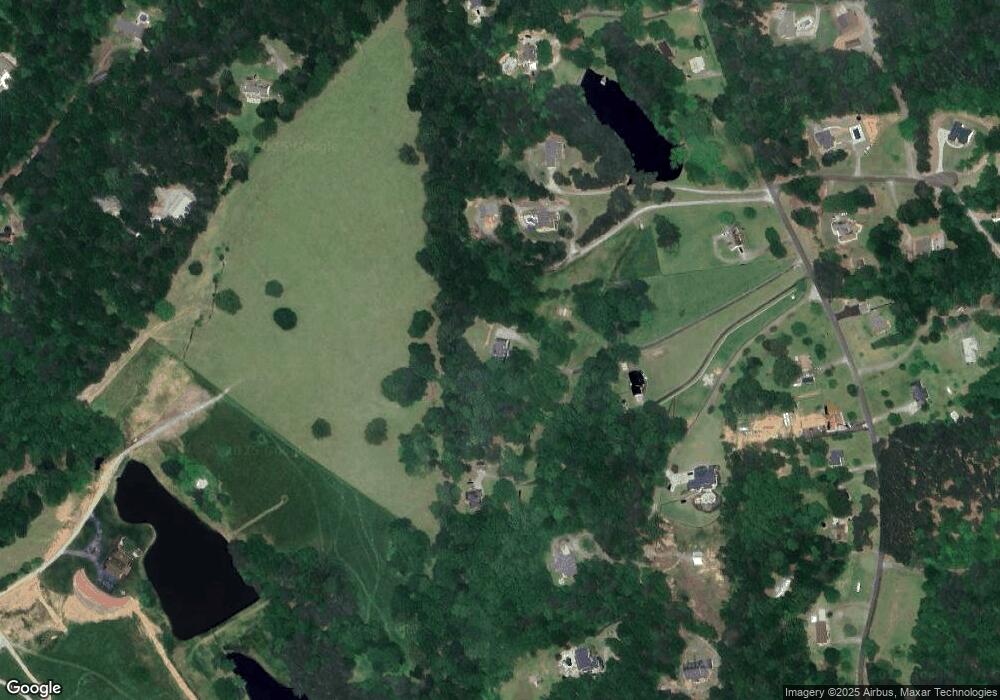
Map
Nearby Homes
- 608 Red Leaf Way
- 602 Red Leaf Way
- 3869 Lower Burris Rd
- 526 Black Horse Cir
- 520 Black Horse Cir
- 1000 Spring Creek Dr
- 236 Augusta Walk
- 129 Rex Ave
- 616 Breedlove Rd
- 339 Worley Rd
- 0000 Bridle Ridge Ln
- 830 Commerce Trail
- 146 Rolling Hills Place
- 123 Rolling Hills Place
- 2023 Fate Conn Rd
- 1675 Hornage Rd
- 425 Chadwick Place
- 932 Sardis Rd
- 873 Long Rd
- 649 Dixon Rd
Your Personal Tour Guide
Ask me questions while you tour the home.