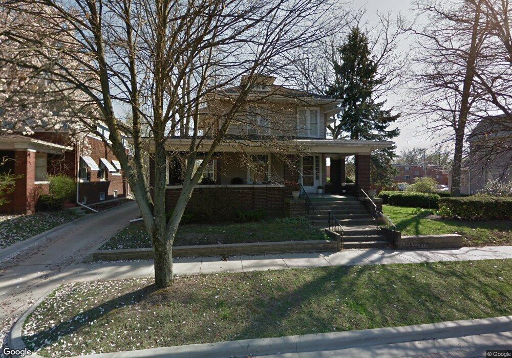
865 W Main St Decatur, IL 62522
Near West NeighborhoodEstimated Value: $61,000 - $138,000
--
Bed
1
Bath
1,186
Sq Ft
$90/Sq Ft
Est. Value
About This Home
This home is located at 865 W Main St, Decatur, IL 62522 and is currently estimated at $106,804, approximately $90 per square foot. 865 W Main St is a home located in Macon County with nearby schools including Dennis Lab School, St. Patrick School, and Teen Challenge-Home For Girls.
Ownership History
Date
Name
Owned For
Owner Type
Purchase Details
Closed on
May 26, 2011
Sold by
Scheiter Deborah K
Bought by
Scheiter Deborah K and Horn Bruce R
Current Estimated Value
Purchase Details
Closed on
Dec 23, 2008
Sold by
Alward Bradford T
Bought by
Scheiter Deborah K
Home Financials for this Owner
Home Financials are based on the most recent Mortgage that was taken out on this home.
Original Mortgage
$32,000
Interest Rate
5.96%
Mortgage Type
New Conventional
Create a Home Valuation Report for This Property
The Home Valuation Report is an in-depth analysis detailing your home's value as well as a comparison with similar homes in the area
Home Values in the Area
Average Home Value in this Area
Purchase History
| Date | Buyer | Sale Price | Title Company |
|---|---|---|---|
| Scheiter Deborah K | -- | None Available | |
| Scheiter Deborah K | $40,000 | None Available |
Source: Public Records
Mortgage History
| Date | Status | Borrower | Loan Amount |
|---|---|---|---|
| Previous Owner | Scheiter Deborah K | $32,000 |
Source: Public Records
Tax History Compared to Growth
Tax History
| Year | Tax Paid | Tax Assessment Tax Assessment Total Assessment is a certain percentage of the fair market value that is determined by local assessors to be the total taxable value of land and additions on the property. | Land | Improvement |
|---|---|---|---|---|
| 2024 | $2,097 | $32,662 | $3,352 | $29,310 |
| 2023 | $1,410 | $31,505 | $3,233 | $28,272 |
| 2022 | $1,449 | $27,675 | $2,840 | $24,835 |
| 2021 | $1,458 | $26,397 | $3,204 | $23,193 |
| 2020 | $1,507 | $25,171 | $3,055 | $22,116 |
| 2019 | $1,507 | $25,171 | $3,055 | $22,116 |
| 2018 | $1,498 | $25,254 | $3,065 | $22,189 |
| 2017 | $2,087 | $25,928 | $3,147 | $22,781 |
| 2016 | $2,134 | $26,192 | $3,179 | $23,013 |
| 2015 | $2,017 | $25,729 | $3,123 | $22,606 |
| 2014 | $1,867 | $25,474 | $3,092 | $22,382 |
| 2013 | $1,950 | $26,431 | $3,208 | $23,223 |
Source: Public Records
Map
Nearby Homes
- 899 W Main St
- 1005 W Main St
- 717 W Prairie Ave Unit 2
- 657 W Wood St
- 254 N Pine St
- 612 W Macon St
- 958 W William St
- 609 W William St
- 441 S Seigel St
- 617 W Decatur St
- 450 W Macon St
- 452 W Prairie Ave
- 628 W Forest Ave
- 442 W Prairie Ave
- 440 W Macon St
- 437 Powers Ln
- 233 N Edward St
- 422 W William St
- 366 W Prairie Ave
- 320 W Main St