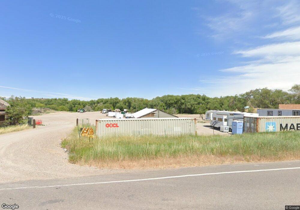
8650 N Kraft Rd Pocatello, ID 83204
Northwest Pocatello NeighborhoodEstimated Value: $272,000 - $487,000
4
Beds
1
Bath
1,244
Sq Ft
$290/Sq Ft
Est. Value
About This Home
This home is located at 8650 N Kraft Rd, Pocatello, ID 83204 and is currently estimated at $360,156, approximately $289 per square foot. 8650 N Kraft Rd is a home located in Bannock County with nearby schools including Jefferson Elementary School, Irving Middle School, and Pocatello High School.
Ownership History
Date
Name
Owned For
Owner Type
Purchase Details
Closed on
Mar 27, 2023
Sold by
Davis Charlene Bernice
Bought by
Rs Jobber Inc
Current Estimated Value
Home Financials for this Owner
Home Financials are based on the most recent Mortgage that was taken out on this home.
Original Mortgage
$149,000
Outstanding Balance
$144,482
Interest Rate
6.12%
Mortgage Type
Credit Line Revolving
Estimated Equity
$215,674
Create a Home Valuation Report for This Property
The Home Valuation Report is an in-depth analysis detailing your home's value as well as a comparison with similar homes in the area
Home Values in the Area
Average Home Value in this Area
Purchase History
| Date | Buyer | Sale Price | Title Company |
|---|---|---|---|
| Rs Jobber Inc | -- | Amerititle |
Source: Public Records
Mortgage History
| Date | Status | Borrower | Loan Amount |
|---|---|---|---|
| Open | Rs Jobber Inc | $149,000 |
Source: Public Records
Tax History Compared to Growth
Tax History
| Year | Tax Paid | Tax Assessment Tax Assessment Total Assessment is a certain percentage of the fair market value that is determined by local assessors to be the total taxable value of land and additions on the property. | Land | Improvement |
|---|---|---|---|---|
| 2024 | $1,870 | $258,399 | $177,065 | $81,334 |
| 2023 | $2,033 | $294,245 | $147,744 | $146,501 |
| 2022 | $2,033 | $213,944 | $102,150 | $111,794 |
| 2021 | $2,111 | $213,944 | $102,150 | $111,794 |
| 2020 | $1,887 | $181,669 | $92,864 | $88,805 |
| 2019 | $1,202 | $121,572 | $53,105 | $68,467 |
| 2018 | $1,008 | $129,550 | $75,765 | $53,785 |
| 2017 | $1,004 | $129,550 | $75,765 | $53,785 |
| 2016 | $1,006 | $129,550 | $75,765 | $53,785 |
| 2015 | $1,058 | $0 | $0 | $0 |
| 2012 | -- | $135,577 | $75,765 | $59,812 |
Source: Public Records
Map
Nearby Homes
- 1277 W Alameda Rd
- 1220 Gathe Dr
- 1373 N Gathe Rd
- 980 Jones Dr
- 1388 Ridge St
- 1275 Gathe Dr
- 1267 Gathe Dr
- 3540 Hawthorne Rd
- 1254 Zener St
- 715 Dahl Ave
- 57 Chestnut Ln
- 765 Cherry St
- 848 Bryan Rd
- 757 Hemlock St
- TBD Trail Creek Area
- 760 W Alameda Rd
- 734 Cherry St
- 3715 Sandpiper Dr
- 3414 Pole Line Rd
- 2097 Magellan Loop
- 8653 N Kraft Rd
- 8665 N Kraft Rd
- 8647 N Kraft Rd
- 8681 N Kraft Rd
- 8699 N Kraft Rd
- 8715 N Kraft Rd
- 8728 N Kraft Rd
- 8611 N Kraft Rd
- 8597 N Kraft Rd
- 8723 N Kraft Rd
- 8589 N Kraft Rd
- 8734 N Kraft Rd
- 8733 N Kraft Rd
- 8575 N Kraft Rd
- 8757 N Kraft Rd
- 8758 N Kraft Rd
- 8772 N Kraft Rd
- 8434 N Facer Mountain View Dr
- 8728 N Facer Mountain View Dr
- 130 Hoffman Ave