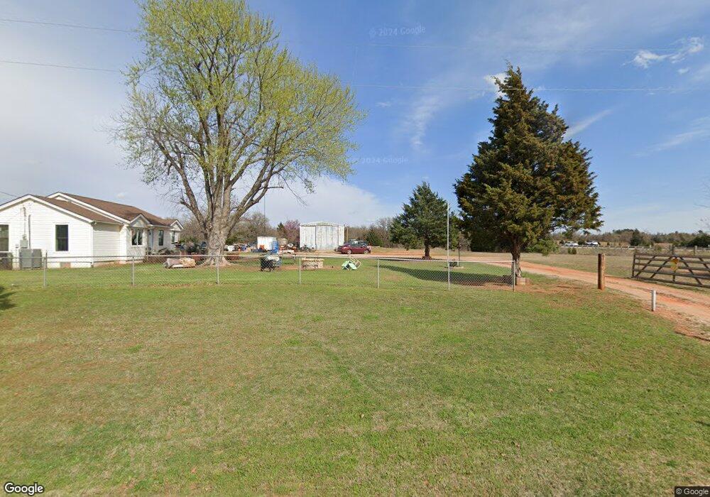
8650 S Pott Rd McLoud, OK 74851
Estimated Value: $170,000 - $212,285
3
Beds
1
Bath
1,606
Sq Ft
$121/Sq Ft
Est. Value
About This Home
This home is located at 8650 S Pott Rd, McLoud, OK 74851 and is currently estimated at $193,571, approximately $120 per square foot. 8650 S Pott Rd is a home with nearby schools including Virginia Smith Elementary School, Russell Babb Elementary School, and Clara Reynolds Elementary School.
Ownership History
Date
Name
Owned For
Owner Type
Purchase Details
Closed on
Sep 2, 2011
Sold by
Walker Carolyn Sue
Bought by
Simmons John
Current Estimated Value
Home Financials for this Owner
Home Financials are based on the most recent Mortgage that was taken out on this home.
Original Mortgage
$74,463
Outstanding Balance
$51,621
Interest Rate
4.75%
Mortgage Type
FHA
Estimated Equity
$141,950
Create a Home Valuation Report for This Property
The Home Valuation Report is an in-depth analysis detailing your home's value as well as a comparison with similar homes in the area
Home Values in the Area
Average Home Value in this Area
Purchase History
| Date | Buyer | Sale Price | Title Company |
|---|---|---|---|
| Simmons John | $76,500 | None Available |
Source: Public Records
Mortgage History
| Date | Status | Borrower | Loan Amount |
|---|---|---|---|
| Open | Simmons John | $74,463 |
Source: Public Records
Tax History Compared to Growth
Tax History
| Year | Tax Paid | Tax Assessment Tax Assessment Total Assessment is a certain percentage of the fair market value that is determined by local assessors to be the total taxable value of land and additions on the property. | Land | Improvement |
|---|---|---|---|---|
| 2025 | $1,093 | $10,423 | $5,349 | $5,074 |
| 2024 | $922 | $9,928 | $5,095 | $4,833 |
| 2023 | $922 | $9,455 | $2,500 | $6,955 |
| 2022 | $937 | $9,455 | $2,500 | $6,955 |
| 2021 | $938 | $9,455 | $2,500 | $6,955 |
| 2020 | $976 | $9,624 | $2,500 | $7,124 |
| 2019 | $974 | $9,624 | $2,500 | $7,124 |
| 2018 | $1,003 | $9,751 | $2,500 | $7,251 |
| 2017 | $995 | $9,834 | $2,500 | $7,334 |
| 2016 | $983 | $9,591 | $2,358 | $7,233 |
| 2015 | $781 | $9,135 | $2,424 | $6,711 |
| 2014 | $781 | $8,700 | $2,348 | $6,352 |
Source: Public Records
Map
Nearby Homes
- 57 Country Creek Dr
- 45 Deer Run Rd
- 3850 Fishmarket Rd
- 9100 Conners Way
- 118 Connolly Dr
- 9500 Megans Way
- 21128 SE 89th St
- 21608 SE 95th St
- 9517 Megans Way
- 29 Walker Ln
- 0 SE 97th Place
- 114 Timber Lake Dr
- 0 E 1140 Rd Unit 1176402
- 0 E 1140 Rd Unit 1135043
- 9025 Hollow Rd
- 10701 Eastway
- 29049 Oilfield Trash Rd
- 9920 Cottonwood Dr
- 0 Halifax St
- 20508 SE 95th St
- 42 Country Creek Dr
- 28 Country Creek Dr
- 29 Country Creek Dr
- 6 Country Creek Dr
- 32 Country Creek Dr
- 8070 S Pottawatomie Rd
- 34 Country Creek Dr
- 39 Country Creek Dr
- 38 Country Creek Dr
- 31 Country Creek Dr
- 7900 S Pottawatomie Rd
- 37 Country Creek Dr
- 45 Country Creek Dr
- 7700 S Pottawatomie Rd
- 27 Country Creek Dr
- 20 Antler Blvd
- 12759 S Pott Co Rd
- 46 Country Creek Dr
- 20 Country Creek Dr
- 51 Country Creek Dr