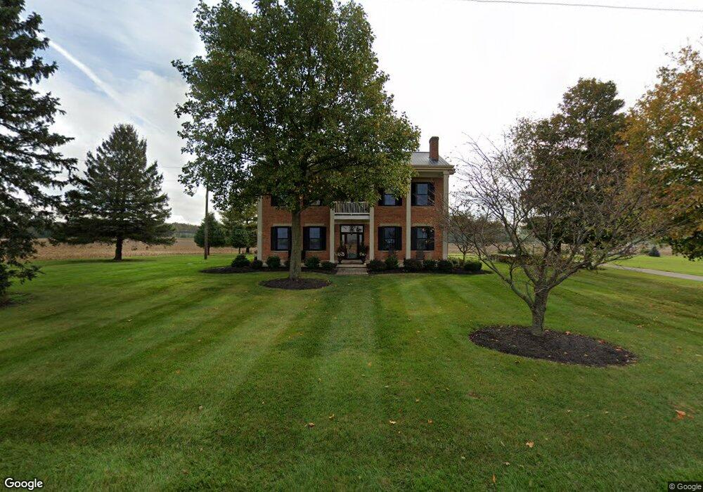
8651 Mcclain Rd West Liberty, OH 43357
Estimated Value: $539,000 - $750,000
4
Beds
4
Baths
4,064
Sq Ft
$151/Sq Ft
Est. Value
About This Home
This home is located at 8651 Mcclain Rd, West Liberty, OH 43357 and is currently estimated at $613,563, approximately $150 per square foot. 8651 Mcclain Rd is a home located in Champaign County with nearby schools including West Liberty-Salem Elementary School and West Liberty-Salem Middle/High School.
Ownership History
Date
Name
Owned For
Owner Type
Purchase Details
Closed on
Oct 1, 2019
Sold by
Taylor Kelly J and Taylor Robin Michelle
Bought by
Taylor Kelly J and Taylor Robin Michelle
Current Estimated Value
Purchase Details
Closed on
Apr 12, 2007
Sold by
Crago Connie D and Taylor Connie
Bought by
Taylor Kelly J
Purchase Details
Closed on
Apr 5, 2004
Sold by
Mcclain Richard E and Mcclain Barbara R
Bought by
Taylor Kelly J and Taylor Connie
Home Financials for this Owner
Home Financials are based on the most recent Mortgage that was taken out on this home.
Original Mortgage
$223,700
Interest Rate
5.65%
Mortgage Type
Purchase Money Mortgage
Purchase Details
Closed on
Jan 19, 2004
Sold by
Zilles Leland C and Zilles Joyce A
Bought by
Mcclain Richard E and Mcclain Barbara R
Purchase Details
Closed on
Jan 15, 2004
Sold by
Zilles Leland C and Zilles Earl Raymond
Bought by
Zilles Leland C and Zilles Joyce A
Create a Home Valuation Report for This Property
The Home Valuation Report is an in-depth analysis detailing your home's value as well as a comparison with similar homes in the area
Home Values in the Area
Average Home Value in this Area
Purchase History
| Date | Buyer | Sale Price | Title Company |
|---|---|---|---|
| Taylor Kelly J | -- | Union County Title Ltd | |
| Taylor Kelly J | -- | Attorney | |
| Taylor Kelly J | $279,650 | -- | |
| Mcclain Richard E | $450,000 | -- | |
| Zilles Leland C | -- | -- | |
| Zilles Leland C | -- | -- |
Source: Public Records
Mortgage History
| Date | Status | Borrower | Loan Amount |
|---|---|---|---|
| Previous Owner | Taylor Kelly J | $223,700 |
Source: Public Records
Tax History Compared to Growth
Tax History
| Year | Tax Paid | Tax Assessment Tax Assessment Total Assessment is a certain percentage of the fair market value that is determined by local assessors to be the total taxable value of land and additions on the property. | Land | Improvement |
|---|---|---|---|---|
| 2024 | $5,270 | $139,250 | $13,810 | $125,440 |
| 2023 | $5,270 | $131,730 | $13,810 | $117,920 |
| 2022 | $4,998 | $131,730 | $13,810 | $117,920 |
| 2021 | $4,274 | $105,390 | $11,050 | $94,340 |
| 2020 | $4,274 | $105,390 | $11,050 | $94,340 |
| 2019 | $4,223 | $105,390 | $11,050 | $94,340 |
| 2018 | $3,110 | $78,750 | $10,350 | $68,400 |
| 2017 | $3,065 | $78,750 | $10,350 | $68,400 |
| 2016 | $2,972 | $78,750 | $10,350 | $68,400 |
| 2015 | $2,682 | $75,490 | $10,350 | $65,140 |
| 2014 | $2,685 | $75,490 | $10,350 | $65,140 |
| 2013 | $2,660 | $75,490 | $10,350 | $65,140 |
Source: Public Records
Map
Nearby Homes
- 7885 N Ludlow Rd
- 116 E Newell St
- 215 N Detroit St
- 308 Reynolds St
- 414 N Detroit St
- 512 W Columbus St
- 619 W Baird St
- Lot 1 County Road 1
- 0 County Road 189
- . Co Rd 189
- 5714 Hickory Dr
- 5197 County Road 1
- 4416 N US Highway 68
- 129 Tanglewood Dr
- 10590 County Road 41
- 4164 County Road 1
- 6404 Township Road 55
- 0 N Ludlow Rd
- Lot 2 N Ludlow Rd
- 1010 W Herr Rd
- 8493 Mcclain Rd
- 1236 Ohio 507
- 768 State Route 507
- 1249 State Route 507
- 1236 State Route 507
- 1228 State Route 507
- 8435 Liberty Trace Ln
- Lot#9 Spli Liberty Trace Ln
- Lot #3 Liberty Trace Ln
- 1338 State Route 507
- 10501 Township Road 47
- 8233 Mcclain Rd
- 1373 State Route 507
- 8636 Liberty Trace Ln
- 8133 Mcclain Rd
- 3148 State Route 245 E
- 8695 Liberty Trace Ln
- 8599 Liberty Trace Ln
- 1448 State Route 507
- 8910 Ludlow Rd