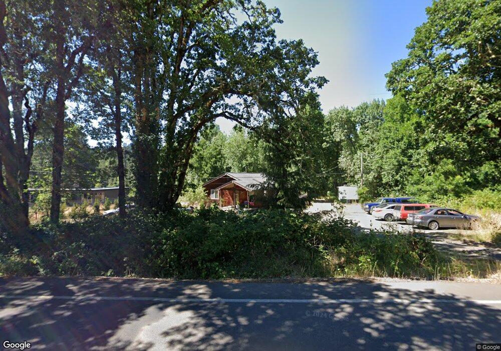
86518 Lorane Hwy Eugene, OR 97405
Estimated Value: $402,721 - $689,000
3
Beds
1
Bath
1,128
Sq Ft
$450/Sq Ft
Est. Value
About This Home
This home is located at 86518 Lorane Hwy, Eugene, OR 97405 and is currently estimated at $507,430, approximately $449 per square foot. 86518 Lorane Hwy is a home located in Lane County with nearby schools including Adams Elementary School, Arts And Technology Academy At Jefferson, and Churchill High School.
Ownership History
Date
Name
Owned For
Owner Type
Purchase Details
Closed on
Jun 30, 2015
Sold by
Downey Scott J
Bought by
Klump Ronald F and Klump Sandra L
Current Estimated Value
Purchase Details
Closed on
Oct 6, 1999
Sold by
Drury Joseph F and Kent Drury Roxanne M
Bought by
Downey Scott J
Home Financials for this Owner
Home Financials are based on the most recent Mortgage that was taken out on this home.
Original Mortgage
$92,080
Interest Rate
2.95%
Create a Home Valuation Report for This Property
The Home Valuation Report is an in-depth analysis detailing your home's value as well as a comparison with similar homes in the area
Purchase History
| Date | Buyer | Sale Price | Title Company |
|---|---|---|---|
| Klump Ronald F | $262,700 | Fidelity Natl Title Co Of Or | |
| Downey Scott J | $115,100 | Key Title Company |
Source: Public Records
Mortgage History
| Date | Status | Borrower | Loan Amount |
|---|---|---|---|
| Previous Owner | Downey Scott J | $92,080 |
Source: Public Records
Tax History
| Year | Tax Paid | Tax Assessment Tax Assessment Total Assessment is a certain percentage of the fair market value that is determined by local assessors to be the total taxable value of land and additions on the property. | Land | Improvement |
|---|---|---|---|---|
| 2025 | $2,313 | $168,868 | -- | -- |
| 2024 | $2,298 | $163,950 | -- | -- |
| 2023 | $2,298 | $159,175 | $0 | $0 |
| 2022 | $2,160 | $154,539 | $0 | $0 |
| 2021 | $1,989 | $150,038 | $0 | $0 |
| 2020 | $2,020 | $145,668 | $0 | $0 |
| 2019 | $1,946 | $141,426 | $0 | $0 |
| 2018 | $1,798 | $133,308 | $0 | $0 |
| 2017 | $1,729 | $133,308 | $0 | $0 |
| 2016 | $1,682 | $129,425 | $0 | $0 |
| 2015 | $1,643 | $125,655 | $0 | $0 |
| 2014 | $1,616 | $121,995 | $0 | $0 |
Source: Public Records
Map
Nearby Homes
- 0 Lorane Hwy Unit 1-3-5-A
- 86134 Lorane Hwy
- 2191 Lorane Hwy
- 2030 W 34th Ave
- 2565 Braewood Ln
- 0 Brighton Ave Unit 446 19051229
- 0 W 40th Ave Unit 3 545854116
- 0 W 40th Ave Unit 3 639571582
- 3828 Ashford Dr
- 3467 Timberbrook Way
- 3825 Brighton Ave
- 3320 Videra Dr
- 2870 Hawkins Ln
- 2090 Graham Dr
- 4344 Blanton Rd
- 3368 Bentley Ave
- 0 Mountain Ash Blvd Unit 410068044
- 0 Aerie Park Place Unit 563784902
- 0 Aerie Park Place Unit 625628092
- 0 Aerie Park Place Unit 595870203
- 86514 Lorane Hwy
- 86524 Lorane Hwy
- 86506 Lorane Hwy
- 86497 Lorane Hwy
- 86507 Lorane Hwy
- 86548 Lorane Hwy
- 86498 Lorane Hwy
- 86501 Needham Rd
- 30745 Blanton Rd
- 86541 Lorane Hwy
- 86501 Lorane Hwy
- 30763 Blanton Rd
- 86581 Lorane Hwy
- 86486 Lorane Hwy
- 86459 Needham Rd
- 30779 Blanton Rd
- 86489 Lorane Hwy
- 86491 Lorane Hwy
- 86436 Needham Rd
- 86480 Lorane Hwy
Your Personal Tour Guide
Ask me questions while you tour the home.