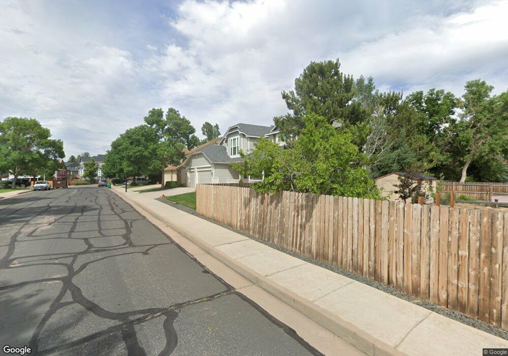
8655 Brockhill Dr Colorado Springs, CO 80920
Briargate NeighborhoodEstimated Value: $642,000 - $688,000
5
Beds
4
Baths
3,337
Sq Ft
$199/Sq Ft
Est. Value
About This Home
This home is located at 8655 Brockhill Dr, Colorado Springs, CO 80920 and is currently estimated at $664,881, approximately $199 per square foot. 8655 Brockhill Dr is a home located in El Paso County with nearby schools including Explorer Elementary School, Timberview Middle School, and Liberty High School.
Ownership History
Date
Name
Owned For
Owner Type
Purchase Details
Closed on
May 31, 2011
Sold by
Schmidt Charles W and Schmidt Roberta L
Bought by
Craft Duanne P and Craft Levka K
Current Estimated Value
Home Financials for this Owner
Home Financials are based on the most recent Mortgage that was taken out on this home.
Original Mortgage
$277,600
Outstanding Balance
$193,336
Interest Rate
4.85%
Mortgage Type
New Conventional
Estimated Equity
$471,545
Purchase Details
Closed on
Apr 19, 1993
Bought by
Craft Levka K
Purchase Details
Closed on
Jan 15, 1993
Bought by
Craft Levka K
Purchase Details
Closed on
Sep 24, 1992
Bought by
Craft Duane P
Create a Home Valuation Report for This Property
The Home Valuation Report is an in-depth analysis detailing your home's value as well as a comparison with similar homes in the area
Home Values in the Area
Average Home Value in this Area
Purchase History
| Date | Buyer | Sale Price | Title Company |
|---|---|---|---|
| Craft Duanne P | $347,000 | Empire Title Co Springs Llc | |
| Craft Levka K | $209,300 | -- | |
| Craft Levka K | $28,000 | -- | |
| Craft Duane P | -- | -- |
Source: Public Records
Mortgage History
| Date | Status | Borrower | Loan Amount |
|---|---|---|---|
| Open | Craft Duanne P | $277,600 |
Source: Public Records
Tax History Compared to Growth
Tax History
| Year | Tax Paid | Tax Assessment Tax Assessment Total Assessment is a certain percentage of the fair market value that is determined by local assessors to be the total taxable value of land and additions on the property. | Land | Improvement |
|---|---|---|---|---|
| 2025 | $2,902 | $47,480 | -- | -- |
| 2024 | $2,888 | $48,800 | $6,700 | $42,100 |
| 2023 | $2,888 | $48,800 | $6,700 | $42,100 |
| 2022 | $2,531 | $35,860 | $5,420 | $30,440 |
| 2021 | $2,800 | $36,900 | $5,580 | $31,320 |
| 2020 | $2,660 | $32,680 | $4,650 | $28,030 |
| 2019 | $2,439 | $30,270 | $4,650 | $25,620 |
| 2018 | $2,137 | $26,090 | $3,600 | $22,490 |
| 2017 | $2,129 | $26,090 | $3,600 | $22,490 |
| 2016 | $2,122 | $25,970 | $3,660 | $22,310 |
| 2015 | $2,118 | $25,970 | $3,660 | $22,310 |
| 2014 | $1,994 | $24,420 | $3,660 | $20,760 |
Source: Public Records
Map
Nearby Homes
- 8112 Old Exchange Dr
- 3746 St Simons Ct
- 3830 Cottage Dr
- 9045 Aldersgate Ct
- 3471 Plantation Grove
- 8735 Quail Glen Dr
- 9075 Bellcove Cir
- 8935 Coberdale Ct
- 8845 Nantucket Ct
- 8213 Caravel Dr
- 3690 Amelia Island St
- 8674 Bellcove Cir
- 3279 Greenmoor Ct
- 4030 Thundercloud Dr
- 4145 Thundercloud Dr
- 3925 Zurich Dr
- 2715 Heathrow Dr
- 3325 Sand Flower Dr
- 8184 Brigantine Dr
- 8118 Ravenel Dr
- 8665 Brockhill Dr
- 8650 Brockhill Dr
- 3410 Brompton Ct
- 8660 Brockhill Dr
- 8675 Brockhill Dr
- 3420 Brompton Ct
- 8640 Brockhill Dr
- 8630 Brockhill Dr
- 8667 Gatewick Dr
- 3430 Brompton Ct
- 3313 Birnamwood Dr
- 3301 Birnamwood Dr
- 8620 Brockhill Dr
- 8659 Gatewick Dr
- 8641 Gatewick Dr
- 3319 Birnamwood Dr
- 8635 Gatewick Dr
- 8625 Gatewick Dr
- 3325 Birnamwood Dr
- 8610 Brockhill Dr