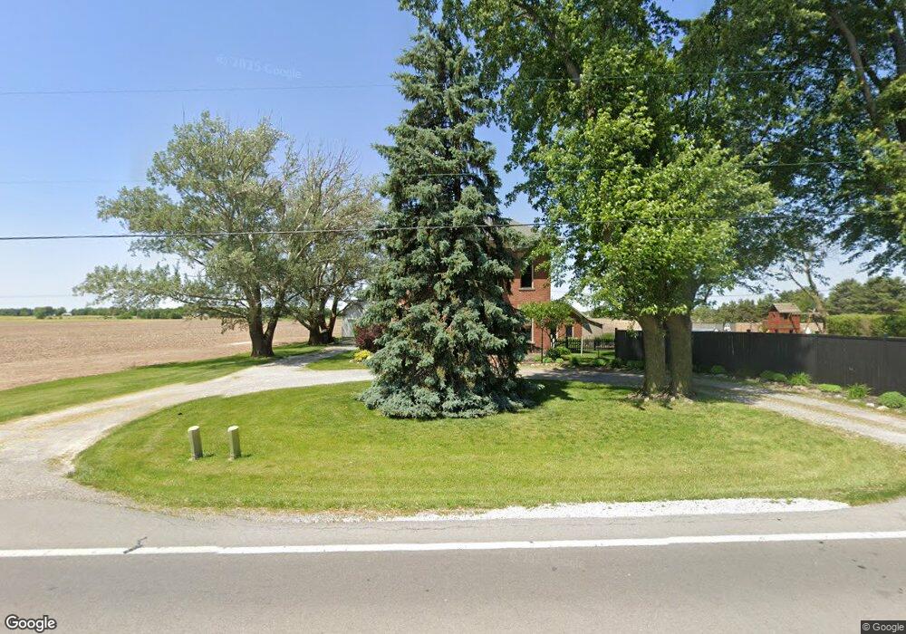
8658 U S 224 Findlay, OH 45840
Estimated Value: $269,000 - $383,000
3
Beds
3
Baths
2,926
Sq Ft
$104/Sq Ft
Est. Value
About This Home
This home is located at 8658 U S 224, Findlay, OH 45840 and is currently estimated at $305,572, approximately $104 per square foot. 8658 U S 224 is a home located in Hancock County with nearby schools including Liberty-Benton Elementary School, Liberty-Benton Middle School, and Liberty-Benton High School.
Ownership History
Date
Name
Owned For
Owner Type
Purchase Details
Closed on
Jun 1, 2017
Sold by
Grossman Roger
Bought by
Haan John R and Haan Janice K
Current Estimated Value
Purchase Details
Closed on
May 8, 2013
Sold by
Haan John T and Haan Deanna M
Bought by
Gossman Roger
Purchase Details
Closed on
Oct 2, 2001
Sold by
Becker Raphael T
Bought by
Haan John T and Haan Deanna M
Home Financials for this Owner
Home Financials are based on the most recent Mortgage that was taken out on this home.
Original Mortgage
$146,300
Interest Rate
6.97%
Mortgage Type
New Conventional
Purchase Details
Closed on
Apr 23, 1990
Bought by
Mallett Jerry J and Mallett Karen L
Create a Home Valuation Report for This Property
The Home Valuation Report is an in-depth analysis detailing your home's value as well as a comparison with similar homes in the area
Home Values in the Area
Average Home Value in this Area
Purchase History
| Date | Buyer | Sale Price | Title Company |
|---|---|---|---|
| Haan John R | -- | None Available | |
| Gossman Roger | $120,000 | Mid American Title Age Inc | |
| Haan John T | $154,000 | -- | |
| Mallett Jerry J | -- | -- |
Source: Public Records
Mortgage History
| Date | Status | Borrower | Loan Amount |
|---|---|---|---|
| Previous Owner | Haan John T | $146,300 |
Source: Public Records
Tax History Compared to Growth
Tax History
| Year | Tax Paid | Tax Assessment Tax Assessment Total Assessment is a certain percentage of the fair market value that is determined by local assessors to be the total taxable value of land and additions on the property. | Land | Improvement |
|---|---|---|---|---|
| 2024 | $2,278 | $59,960 | $7,540 | $52,420 |
| 2023 | $2,226 | $59,960 | $7,540 | $52,420 |
| 2022 | $2,205 | $59,960 | $7,540 | $52,420 |
| 2021 | $1,702 | $40,920 | $6,550 | $34,370 |
| 2020 | $1,716 | $40,920 | $6,550 | $34,370 |
| 2019 | $1,648 | $40,920 | $6,550 | $34,370 |
| 2018 | $1,350 | $36,850 | $5,460 | $31,390 |
| 2017 | $1,393 | $36,850 | $5,460 | $31,390 |
| 2016 | $1,363 | $36,850 | $5,460 | $31,390 |
| 2015 | $1,627 | $43,200 | $5,460 | $37,740 |
| 2014 | $1,642 | $43,200 | $5,460 | $37,740 |
| 2012 | $1,514 | $39,180 | $5,460 | $33,720 |
Source: Public Records
Map
Nearby Homes
- 8922 Township Road 94
- 7780 Township Road 89
- 9960 W Us Route 224
- 0 County Road 140
- 0 County Road 95 Unit 6097574
- 8179 Hazelwood Dr
- 8256 Silverwood Dr
- 9307 W State Route 12
- 0 County Road 223
- 2201 W Main Cross St
- 6535 Silver Lake Dr
- 9220 Colonel Dr
- 2014 W Sandusky St
- 9307 Hiegel Dr
- 9653 Early Dr
- 425 Nevada Ln
- 1405 Cypress Lake
- 0 Rock Candy Rd Unit Lot 159
- 0 Rock Candy Rd Unit Lot 170
- 0 Rock Candy Rd Unit Lot 172 206819
- 8658 W Us Route 224
- 8730 W Us Route 224
- 8701 W Us Route 224
- 8645 Township Road 94
- 8731 Township Road 94
- 8615 Township Road 94
- 9172 W Us Route 224
- 9172 U S R 224
- 9172 U S 224
- 9172 W Us Route 224
- 8083 W Us Route 224
- 8498 Township Road 94
- 7037 County Road 139
- 8083 U S 224
- 9133 Township Road 94
- 8050 W Us Route 224
- 8050 State Route 224
- 7407 Township Road 136
- 9147 Township Road 94
- 8171 Township Road 94