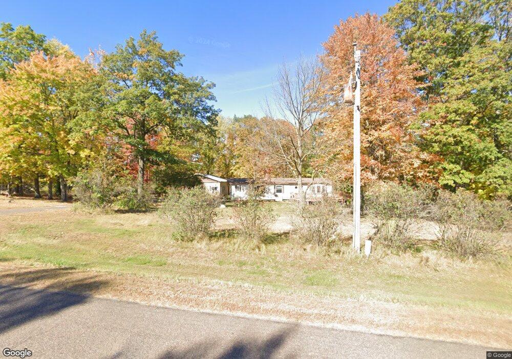
866 10th Ave Barron, WI 54812
Estimated Value: $333,000 - $399,000
3
Beds
2
Baths
1,894
Sq Ft
$193/Sq Ft
Est. Value
About This Home
This home is located at 866 10th Ave, Barron, WI 54812 and is currently estimated at $364,825, approximately $192 per square foot. 866 10th Ave is a home located in Barron County with nearby schools including Barron High School and Hillcrest Mennonite School.
Ownership History
Date
Name
Owned For
Owner Type
Purchase Details
Closed on
Dec 6, 2024
Sold by
Attwood Jeffrey A
Bought by
Mccarthy Ronald
Current Estimated Value
Purchase Details
Closed on
Mar 15, 2024
Sold by
Attwood Jeffrey A
Bought by
Boe Wyatt J
Purchase Details
Closed on
Oct 30, 2020
Sold by
Attwood Abina M
Bought by
Attwood David J
Home Financials for this Owner
Home Financials are based on the most recent Mortgage that was taken out on this home.
Interest Rate
2.81%
Create a Home Valuation Report for This Property
The Home Valuation Report is an in-depth analysis detailing your home's value as well as a comparison with similar homes in the area
Purchase History
| Date | Buyer | Sale Price | Title Company |
|---|---|---|---|
| Mccarthy Ronald | $95,000 | T.M. Title Services, Inc. | |
| Boe Wyatt J | $74,250 | T.M. Title Services, Inc. | |
| Rischette Thomas J | $1,500 | T.M. Title Services, Inc. | |
| Attwood David J | $92,500 | -- | |
| Attwood David J | $92,500 | -- |
Source: Public Records
Mortgage History
| Date | Status | Borrower | Loan Amount |
|---|---|---|---|
| Previous Owner | Attwood David J | -- |
Source: Public Records
Tax History
| Year | Tax Paid | Tax Assessment Tax Assessment Total Assessment is a certain percentage of the fair market value that is determined by local assessors to be the total taxable value of land and additions on the property. | Land | Improvement |
|---|---|---|---|---|
| 2025 | $2,783 | $203,000 | $12,300 | $190,700 |
| 2024 | $3,162 | $248,500 | $57,800 | $190,700 |
| 2023 | $2,878 | $248,500 | $57,800 | $190,700 |
| 2022 | $2,920 | $224,900 | $57,800 | $167,100 |
| 2021 | $2,844 | $157,700 | $39,800 | $117,900 |
| 2020 | $2,873 | $157,700 | $39,800 | $117,900 |
| 2019 | $2,901 | $157,700 | $39,800 | $117,900 |
| 2018 | $2,753 | $157,700 | $39,800 | $117,900 |
| 2017 | $2,810 | $157,700 | $39,800 | $117,900 |
| 2016 | $2,748 | $157,700 | $39,800 | $117,900 |
| 2015 | $2,866 | $157,700 | $39,800 | $117,900 |
| 2014 | $2,620 | $157,700 | $39,800 | $117,900 |
| 2013 | $2,613 | $157,700 | $39,800 | $117,900 |
Source: Public Records
Map
Nearby Homes
- 1112 10 1 2 Ave
- 996 13th St
- TBD 8th St
- 1141 12th Ave
- 00 Highway P ( Clinton)
- 00 Highway P
- 303 Portland Ave W
- 106 Soo Ave W
- 121 Alma St S
- 1388 13 1 2 Ave
- 00 4th St
- 261 Rolling Oaks Dr
- 218 9 1 4 Ave
- 429 W Division Ave
- 16 W Monroe Ave
- 226 W Franklin Ave
- 285 Cityview Dr
- 118 E Monroe Ave
- 37 E Division Ave
- 406 S 5th St
Your Personal Tour Guide
Ask me questions while you tour the home.