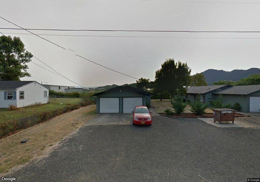
866 Landing St Sutherlin, OR 97479
Estimated Value: $345,000 - $525,000
--
Bed
1
Bath
1,730
Sq Ft
$251/Sq Ft
Est. Value
About This Home
This home is located at 866 Landing St, Sutherlin, OR 97479 and is currently estimated at $435,000, approximately $251 per square foot. 866 Landing St is a home located in Douglas County with nearby schools including East Sutherlin Primary School, West Sutherlin Intermediate School, and Sutherlin Middle School.
Ownership History
Date
Name
Owned For
Owner Type
Purchase Details
Closed on
Sep 28, 2004
Sold by
Rynearson Arlene R
Bought by
Smith Norma L
Current Estimated Value
Purchase Details
Closed on
Jun 15, 2004
Sold by
Brizendine Clara M
Bought by
Lebleu Robert
Purchase Details
Closed on
May 25, 2004
Sold by
Tucker Carol J and Robinson Donald K
Bought by
Tucker First Family Llc
Purchase Details
Closed on
Apr 8, 2004
Sold by
Gene Whitaker Inc
Bought by
Smith Gordon L and Smith Sharla L
Purchase Details
Closed on
Mar 31, 2004
Sold by
Primak Michael and Primak Richard
Bought by
Tanner Craig and Tanner Gina
Create a Home Valuation Report for This Property
The Home Valuation Report is an in-depth analysis detailing your home's value as well as a comparison with similar homes in the area
Home Values in the Area
Average Home Value in this Area
Purchase History
| Date | Buyer | Sale Price | Title Company |
|---|---|---|---|
| Smith Norma L | -- | -- | |
| Lebleu Robert | $67,000 | Douglas County Title Company | |
| Tucker First Family Llc | -- | -- | |
| Smith Gordon L | $20,000 | Amerititle | |
| Tanner Craig | $43,000 | -- |
Source: Public Records
Tax History Compared to Growth
Tax History
| Year | Tax Paid | Tax Assessment Tax Assessment Total Assessment is a certain percentage of the fair market value that is determined by local assessors to be the total taxable value of land and additions on the property. | Land | Improvement |
|---|---|---|---|---|
| 2025 | $1,932 | $156,054 | -- | -- |
| 2024 | $1,889 | $151,509 | -- | -- |
| 2023 | $1,835 | $147,097 | $0 | $0 |
| 2022 | $1,782 | $142,813 | $0 | $0 |
| 2021 | $1,731 | $138,654 | $0 | $0 |
| 2020 | $1,681 | $134,616 | $0 | $0 |
| 2019 | $1,632 | $130,696 | $0 | $0 |
| 2018 | $1,584 | $126,890 | $0 | $0 |
| 2017 | $1,620 | $123,195 | $0 | $0 |
| 2016 | $1,573 | $119,607 | $0 | $0 |
| 2015 | $1,531 | $116,124 | $0 | $0 |
| 2014 | $1,486 | $112,742 | $0 | $0 |
| 2013 | -- | $109,459 | $0 | $0 |
Source: Public Records
Map
Nearby Homes
- 142 S Comstock Ave
- 181 SW Hutchins St
- 1878 Trails End Ln
- 1688 W Central Ave
- 165 Robinson St
- 226 Miller St
- 220 Miller St
- 1907 W Duke Rd
- 401 N Comstock Ave
- 324 Dakota St
- 135 Elkton St
- 126 Coles Valley St
- 154 Coles Valley St
- 149 Coles Valley St
- 1660 Scardi Blvd
- 788 Schoon Mountain Rd
- 1716 Scardi Blvd Unit 174
- 427 S State St
- 409 S State St
- 444 S State St
- 872 Landing St
- 850 Landing St
- 878 Landing St
- 838 Landing St
- 859 Landing St
- 863 Landing St
- 849 Landing St
- 841 Landing St
- 816 Landing St
- 813 Landing St
- 864 S Comstock Ave
- 852 S Comstock Ave
- 804 Landing St
- 840 S Comstock Ave
- 905 Landing St
- 876 S Comstock Ave
- 801 Landing St
- 840 S Comstock Rd
- 904 S Comstock Ave
- 1392 Airway Ave