Estimated Value: $1,008,000 - $1,186,000
5
Beds
3
Baths
3,100
Sq Ft
$352/Sq Ft
Est. Value
About This Home
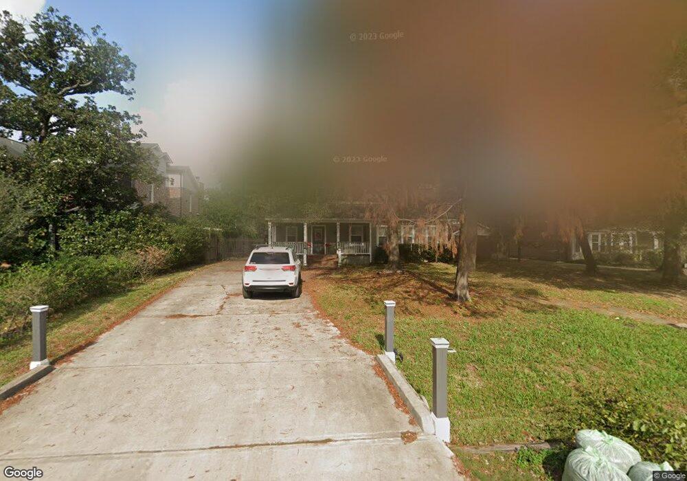
This home is located at 866 W 41, Houston, TX 77018 and is currently estimated at $1,091,882, approximately $352 per square foot. 866 W 41 is a home located in Harris County with nearby schools including Garden Oaks Montessori, Frank Black Middle School, and Waltrip High School.
Ownership History
Date
Name
Owned For
Owner Type
Purchase Details
Closed on
Mar 31, 2022
Sold by
Corn Ronald H and Corn Deanne H
Bought by
Corn Ryan
Current Estimated Value
Purchase Details
Closed on
Apr 22, 2021
Sold by
Munoz Don R and Munoz Brandi R
Bought by
Corn Ronald and Corn Ryan
Home Financials for this Owner
Home Financials are based on the most recent Mortgage that was taken out on this home.
Original Mortgage
$772,000
Interest Rate
2.5%
Mortgage Type
New Conventional
Purchase Details
Closed on
Jan 28, 2016
Sold by
Gray Max Daniel and Gray Joy Whitney
Bought by
Munoz Don R and Munoz Brandi R
Home Financials for this Owner
Home Financials are based on the most recent Mortgage that was taken out on this home.
Original Mortgage
$145,500
Interest Rate
4.05%
Mortgage Type
Stand Alone Second
Create a Home Valuation Report for This Property
The Home Valuation Report is an in-depth analysis detailing your home's value as well as a comparison with similar homes in the area
Home Values in the Area
Average Home Value in this Area
Purchase History
| Date | Buyer | Sale Price | Title Company |
|---|---|---|---|
| Corn Ryan | -- | None Listed On Document | |
| Corn Ronald | -- | Old Republic Natl Ttl Ins Co | |
| Munoz Don R | -- | Attorney |
Source: Public Records
Mortgage History
| Date | Status | Borrower | Loan Amount |
|---|---|---|---|
| Previous Owner | Corn Ronald | $772,000 | |
| Previous Owner | Munoz Don R | $145,500 | |
| Previous Owner | Munoz Don R | $417,000 |
Source: Public Records
Tax History Compared to Growth
Tax History
| Year | Tax Paid | Tax Assessment Tax Assessment Total Assessment is a certain percentage of the fair market value that is determined by local assessors to be the total taxable value of land and additions on the property. | Land | Improvement |
|---|---|---|---|---|
| 2025 | $14,746 | $913,238 | $602,938 | $310,300 |
| 2024 | $14,746 | $805,503 | $493,313 | $312,190 |
| 2023 | $14,746 | $864,997 | $493,313 | $371,684 |
| 2022 | $18,575 | $843,612 | $493,313 | $350,299 |
| 2021 | $14,823 | $635,987 | $416,575 | $219,412 |
| 2020 | $14,819 | $611,970 | $405,613 | $206,357 |
| 2019 | $14,515 | $573,600 | $405,613 | $167,987 |
| 2018 | $10,412 | $526,611 | $405,613 | $120,998 |
| 2017 | $15,369 | $607,800 | $405,613 | $202,187 |
| 2016 | $13,370 | $610,317 | $405,613 | $204,704 |
| 2015 | $8,854 | $595,000 | $328,875 | $266,125 |
| 2014 | $8,854 | $437,000 | $285,025 | $151,975 |
Source: Public Records
Map
Nearby Homes
- 863 W 42nd St
- 834 W 41st St
- 833 Fisher St Unit C
- 814 W 41st St
- 824 Wakefield Dr Unit A
- 909 Fisher St
- 3809 Brinkman St
- 820 Wakefield Dr Unit A
- 806 Fisher St Unit C
- 806 Fisher St Unit B
- 806 Fisher St Unit F
- 903 W 43rd St
- 831 Wakefield Dr Unit A
- 923 Fisher St Unit A
- 925 Fisher St Unit D
- 938 Gardenia Dr
- 814 Azalea St
- 959 Althea Dr
- 963 W 41st St
- 739 Azaleadell Dr