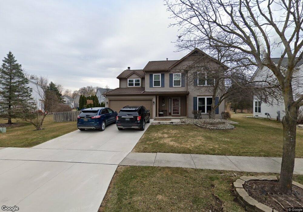
866 Westbrooke Dr South Lyon, MI 48178
Estimated Value: $416,668 - $460,000
4
Beds
3
Baths
2,034
Sq Ft
$217/Sq Ft
Est. Value
About This Home
This home is located at 866 Westbrooke Dr, South Lyon, MI 48178 and is currently estimated at $441,417, approximately $217 per square foot. 866 Westbrooke Dr is a home located in Oakland County with nearby schools including Sayre Elementary School, Millennium Middle School, and South Lyon East High School.
Ownership History
Date
Name
Owned For
Owner Type
Purchase Details
Closed on
Jan 3, 2020
Sold by
Wade Richard K and Wade Nancy A
Bought by
Wade Richard K and Wade Nancy A
Current Estimated Value
Purchase Details
Closed on
Dec 15, 1999
Sold by
Merendino James A
Bought by
Wade Richard K
Home Financials for this Owner
Home Financials are based on the most recent Mortgage that was taken out on this home.
Original Mortgage
$191,200
Outstanding Balance
$59,629
Interest Rate
7.81%
Estimated Equity
$381,788
Purchase Details
Closed on
Aug 6, 1997
Sold by
Silverman Building Co In
Bought by
Merendino James A
Create a Home Valuation Report for This Property
The Home Valuation Report is an in-depth analysis detailing your home's value as well as a comparison with similar homes in the area
Home Values in the Area
Average Home Value in this Area
Purchase History
| Date | Buyer | Sale Price | Title Company |
|---|---|---|---|
| Wade Richard K | -- | None Available | |
| Wade Richard K | $239,000 | -- | |
| Merendino James A | $199,623 | -- |
Source: Public Records
Mortgage History
| Date | Status | Borrower | Loan Amount |
|---|---|---|---|
| Open | Wade Richard K | $191,200 |
Source: Public Records
Tax History Compared to Growth
Tax History
| Year | Tax Paid | Tax Assessment Tax Assessment Total Assessment is a certain percentage of the fair market value that is determined by local assessors to be the total taxable value of land and additions on the property. | Land | Improvement |
|---|---|---|---|---|
| 2024 | $4,434 | $179,170 | $0 | $0 |
| 2023 | $4,161 | $168,840 | $0 | $0 |
| 2022 | $4,050 | $156,450 | $0 | $0 |
| 2021 | $3,854 | $150,330 | $0 | $0 |
| 2020 | $3,732 | $142,710 | $0 | $0 |
| 2019 | $3,817 | $135,040 | $0 | $0 |
| 2018 | $3,717 | $124,470 | $0 | $0 |
| 2017 | $3,734 | $123,640 | $0 | $0 |
| 2016 | $3,703 | $118,090 | $0 | $0 |
| 2015 | -- | $108,330 | $0 | $0 |
| 2014 | -- | $91,700 | $0 | $0 |
| 2011 | -- | $83,430 | $0 | $0 |
Source: Public Records
Map
Nearby Homes
- 942 Westbrooke Dr
- 975 S Parkwood Dr
- 59121 Oasis Center Dr
- 204 Maplewood Ct Unit 4
- 22622 Pine Dr
- 404 Stryker St
- 27487 Pontiac Trail
- 105 Aspen Way Unit 12
- 22150 Donnas Drive St
- 162 Princeton Dr
- 108 Princeton Dr Unit 4
- 115 Wellington Dr
- 59550 10 Mile Rd
- 320 Hampton Ct Unit 33
- 113 W Liberty St
- 429 Cambridge Ave
- 21587 Hasenclever Dr
- 1106 Fountain View Cir Unit 11A
- 58415 10 Mile Rd
- 14 Boat Slip
- 870 Westbrooke Dr
- 862 Westbrooke Dr
- 858 Westbrooke Dr
- 854 Westbrooke Dr
- 854 Westbrooke Dr Dr
- 874 Westbrooke Dr
- 819 Westbrooke Dr
- 815 Westbrooke Dr
- 823 Westbrooke Dr
- 878 Westbrooke Dr
- 850 Westbrooke Dr
- 811 Westbrooke Dr
- 827 Westbrooke Dr
- 799 Westbrooke Dr
- 795 Westbrooke Dr
- 882 Westbrooke Dr
- 831 Westbrooke Dr
- 791 Westbrooke Dr
- 803 Westbrooke Dr
- 787 Westbrooke Dr